


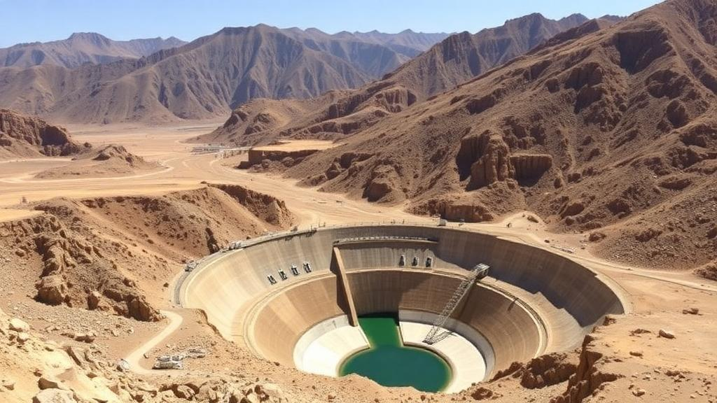
In the rugged mountains of northern Iran, where flash floods race down steep valleys and precious topsoil washes away with every storm, engineers have long relied on a humble but vital piece of infrastructure: the check dam. These small stone masonry barriers, built across stream channels, slow runoff, trap sediment, and give water a chance to soak into the ground. But deciding where to place them has always been as much art as science, demanding years of field experience and often producing inconsistent results. Now, a team of researchers has shown that machine learning can take much of the guesswork out of the process, producing detailed maps that reveal exactly where conservation structures will work best and where money would be wasted.
The study, published in Earth Science Informatics, focused on the Taleghan Dam watershed, a vast catchment of roughly 124,062 hectares in Alborz Province. This semi-arid landscape, tucked into the Alborz mountain range, experiences the classic problems of mountainous drylands: intense seasonal rainfall, erodible slopes, and a delicate balance between water scarcity and destructive floods. The research team, led by Omid Asadi Nalivan of the University of Maragheh together with colleagues from Iran and India, set out to answer two intertwined questions: which locations are most suitable for building watershed dams and check dams, and which parts of the landscape are most prone to flooding in the first place.
What makes the approach remarkable is its grounding in real-world evidence rather than purely theoretical assumptions. The researchers compiled an inventory of 67 stone masonry check dams that had already been built in the watershed, treating these implemented structures as verified examples of successful siting decisions. They also assembled 160 historical flood occurrence points, documenting places where flooding had actually happened. These datasets served as the ground truth for training and testing three distinct machine learning algorithms: Maximum Entropy, better known as MaxEnt; Support Vector Machine, or SVM; and Artificial Neural Network, or ANN. Each algorithm learns differently, and comparing them reveals which approach best captures the complex interplay of factors that make a site suitable.
The models were fed an unusually rich set of environmental information. Twelve conditioning factors, spanning topography, hydrology, geology, and land cover, were compiled at a fine spatial resolution of 10 by 10 meters, meaning every pixel of the final maps represents a patch of ground about the size of a small living room. Before modeling began, the team checked all twelve variables for multicollinearity, the statistical problem that arises when input factors overlap so heavily that models become unstable. Every factor passed the test, with variance inflation factors below 10 and tolerance values above 0.1, the conventional thresholds that signal acceptable independence among predictors.
The results were striking. All three algorithms achieved area under the curve values, the standard measure of predictive skill, in the range of 0.80 to 0.93 for check dam site suitability, a band the researchers classify as very good to excellent. MaxEnt emerged as the clear winner, reaching a validation AUC of 0.93, meaning it correctly distinguished suitable from unsuitable locations with remarkable reliability. For flood susceptibility, MaxEnt again performed strongly, with training and validation AUC values of 0.91 and 0.89 respectively. The datasets were split 70:30 between training and validation, a standard practice that ensures models are judged on data they have never seen, guarding against the trap of simply memorizing the training examples.
Perhaps the most scientifically interesting outcome came from the Jackknife analysis, a technique that measures how much each environmental variable contributes to model performance by systematically removing one factor at a time. Five predictors stood out as the most informative: the Stream Power Index, stream order, slope, drainage density, and rainfall. The Stream Power Index, which combines the accelerating effect of slope with the accumulating effect of upstream flow area, essentially quantifies the erosive energy of flowing water at any point on the landscape. Its dominance makes intuitive sense: check dams work precisely where water has enough energy to cause erosion and flooding, but where the terrain allows a barrier to be built and to function effectively.
Statistical testing reinforced this picture. For flood susceptibility, stream order emerged as the most significant factor, with a coefficient of 0.349 and a p-value of 0.002, while the Stream Power Index showed a strong negative coefficient of minus 1.149 with a p-value below 0.001. In plain terms, the position of a location within the stream network hierarchy, and the erosive power of water moving through it, largely determine whether floods occur there. Higher-order stream reaches, the main channels where tributaries converge, concentrate flow and therefore concentrate both flood risk and the potential benefit of well-placed barriers.
When the trained models were applied across the entire watershed, they identified 147 prioritized sites with substantial potential for watershed dam construction. These locations share a consistent profile: they lie along higher-order stream reaches where flow is concentrated, on moderate slope gradients that allow construction without excessive engineering challenges, and on geotechnically stable rock formations that can anchor a structure securely. Just as revealing are the areas the models rejected. Gypsum-bearing geological units, mapped as the Ekgy formation, were consistently rated as low suitability, and so were zones close to active faults. Gypsum dissolves slowly in water, undermining the foundations of any structure built on it, while fault-proximate zones carry seismic risk that could crack or collapse a dam. The models, in effect, rediscovered sound engineering judgment from the data alone.
The dual mapping of check dam suitability and flood susceptibility gives watershed managers something they have rarely had before: a single, spatially explicit framework that shows both where floods threaten and where interventions will succeed. Instead of allocating conservation budgets across a whole province uniformly, or relying on the intuition of individual surveyors, planners can now direct investment to the 147 identified priority sites, confident that each one combines hydrological need with physical feasibility. The approach is also transferable. Because it relies on freely available geospatial data layers such as digital elevation models, satellite-derived land cover, and geological maps, the same workflow can be applied to mountainous semi-arid catchments anywhere in the world, from Central Asia to the Mediterranean to the American Southwest.
The timing could hardly be better. Around the world, check dams are enjoying renewed attention as climate change intensifies both floods and droughts, and as countries seek nature-based and low-cost solutions to water security. Recent studies from China’s Loess Plateau, where hundreds of thousands of check dams have transformed eroded landscapes, to Jordan, Syria, Nigeria, and Ghana, show growing global interest in these structures. Yet failures happen too, often because dams were sited on unstable ground or in channels where they could not withstand the forces they were meant to control. By demonstrating that machine learning models trained on real construction records can predict suitability with AUC values above 0.9, the Taleghan study offers a template for making every future check dam count. For semi-arid regions facing harsher, less predictable climates, that could mean the difference between conservation budgets that build resilience and money that simply washes downstream.
Subject of Research: Machine learning-based site selection for watershed conservation structures and flood susceptibility mapping in a semi-arid Iranian watershed
Article Title: Feasibility assessment of watershed conservation structure site selection using machine learning models in a semi-arid area, Iran
Article References: Nalivan, O. A., Yousefi, S., Shahbazi, A., & Shahi, N. R. (2026). Feasibility assessment of watershed conservation structure site selection using machine learning models in a semi-arid area, Iran. Earth Science Informatics, 19(11), Article 194. https://doi.org/10.1007/s12145-026-02251-2
Image Credits: AI Generated
DOI: 10.1007/s12145-026-02251-2
Keywords: check dams, machine learning, MaxEnt, flood susceptibility, watershed management, Taleghan watershed, Iran, GIS, soil conservation, semi-arid, Stream Power Index, site suitability
Cite Scienmag News
Violet Maxwell. (October 1, 2026). Machine Learning Pinpoints Prime Sites for Check Dams in Iran’s Semi-Arid Mountains. Scienmag. https://scienmag.com/machine-learning-pinpoints-prime-sites-for-check-dams-in-irans-semi-arid-mountains/
Violet Maxwell. "Machine Learning Pinpoints Prime Sites for Check Dams in Iran’s Semi-Arid Mountains." Scienmag, 1 October 2026, https://scienmag.com/machine-learning-pinpoints-prime-sites-for-check-dams-in-irans-semi-arid-mountains/. Accessed 5 October 2026.
Violet Maxwell. "Machine Learning Pinpoints Prime Sites for Check Dams in Iran’s Semi-Arid Mountains." Scienmag. October 1, 2026. https://scienmag.com/machine-learning-pinpoints-prime-sites-for-check-dams-in-irans-semi-arid-mountains/


