


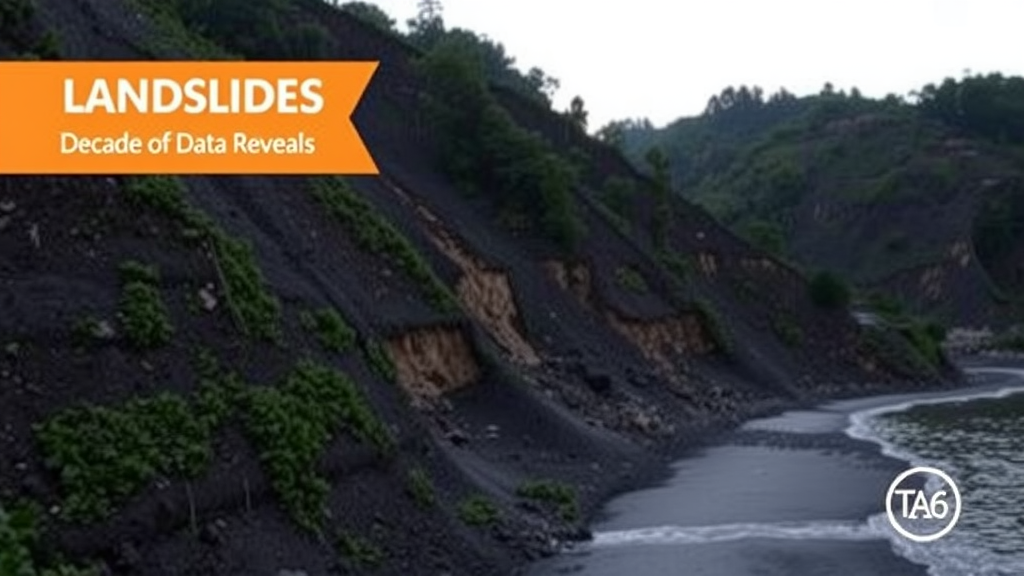
Landslides in the Brazilian city of Recife do not strike at random. A new decade-long analysis of civil defense records shows that slope failures across the Pernambuco capital follow strikingly stable geographic patterns, clustering year after year in the same hillside neighborhoods at the northern and southern extremes of the municipality. The study, published in the journal Discover Geoscience, applied spatial statistics to ten years of landslide records and found persistent, statistically significant clustering that mirrors official susceptibility maps—and exposes the deep imprint of unplanned urbanization on the city’s risk landscape.
The research, conducted by Juarez Antônio da Silva Júnior of the Federal University of Pernambuco, examined landslide occurrences recorded by Recife’s Civil Defense between 2015 and 2024. Rather than treating each neighborhood as an isolated unit, as conventional frequency counts and ordinary statistical models tend to do, the study measured whether landslides in one neighborhood were related to landslides in adjacent ones. The central tool was the Global Moran’s Index, a measure of spatial autocorrelation that quantifies whether similar values—here, landslide counts—sit closer together in space than chance would predict. Positive, significant values indicate clustering; values near zero indicate randomness.
The results were unambiguous. In most years of the historical series, the Global Moran’s Index was positive and statistically significant, ranging from moderate values of roughly 0.17 to 0.27 between 2015 and 2017, dipping during an attenuation period from 2018 to 2020, and then strengthening again to a peak of about 0.33 in 2023. In other words, throughout nearly the entire decade, neighborhoods with many landslides tended to be surrounded by other neighborhoods with many landslides, while quiet zones stayed quiet together. The risk, the analysis shows, is not diffuse across the city but concentrated in stable geographic poles.
To locate those poles precisely, the study turned to Local Indicators of Spatial Association, or LISA, a technique proposed by geographer Luc Anselin in 1995 that decomposes global autocorrelation into neighborhood-level clusters. LISA classifies each area into categories such as High-High, where a high-incidence neighborhood is surrounded by similarly high neighbors, or Low-Low, where low values cluster together, along with outlier categories where a unit diverges from its surroundings. The spatial weighting was built using Queen-type contiguity, meaning neighborhoods were considered neighbors if they shared a boundary or a vertex—an approach well suited to the irregular geometries of urban districts.
The local analysis revealed two large, statistically significant High-High hotspots at opposite ends of the municipality. In the North Zone, the neighborhoods of Guabiraba, Passarinho, Dois Unidos, Nova Descoberta, and Linha do Tiro emerged as chronic hotspots, classified as High-High in four to six of the ten years analyzed. In the South Zone, COHAB, Ibura, Jordão, and Barro showed recurring clusters, particularly in 2017, 2018, and above all 2022—a year of exceptional rainfall that produced the highest landslide count in the entire series, with some neighborhoods exceeding 50 occurrences and LISA values greater than 1 across broad contiguous areas. By contrast, central and coastal districts such as Boa Viagem, Pina, Graças, and Derby were dominated by Low-Low patterns, confirming consistently low risk in the flat, highly urbanized heart of the city.
Beyond mapping clusters in individual years, the study introduced two temporal indicators derived from the LISA results: the frequency of High-High classification and a persistence ranking that distinguishes chronic hotspots, significant in at least five of ten years, from episodic and intermittent ones. This persistence analysis showed that the northern hotspot is not a product of any single disaster but a structural condition—vulnerability that is rooted in time as well as space. Descriptive statistics reinforced the picture: neighborhoods such as Dois Unidos displayed extreme interannual swings, recording no cases in 2018, 104 cases in 2019, and only 2 in 2020, while Sen’s slope estimates suggested a modest overall downward trend in several historically critical areas, possibly reflecting municipal interventions.
The spatial patterns aligned closely with independent evidence. When the identified clusters were overlaid on landslide susceptibility maps prepared by the Geological Survey of Brazil (SGB/CPRM) and on the city’s continuous landslide monitoring map, the correspondence was strong. The CPRM maps classify the hilly terrain of the North and South zones as highly susceptible to mass movements, and it is precisely there that the chronic hotspots sit. The city’s own monitoring points, concentrated in the North, Northeast, and South administrative regions, coincide with the High-High clusters. This convergence between empirical occurrence data and model-based susceptibility mapping strengthens confidence that the statistical signals reflect genuine geotechnical and social conditions rather than artifacts of reporting.
The underlying drivers are as much social as geological. Recife, home to nearly 1.5 million people at a density of more than 6,800 per square kilometer, combines a humid tropical climate with steep slopes occupied by self-built housing. Studies cited in the paper document chaotic occupation, narrow streets, inadequate drainage, vegetation loss, and construction in permanent preservation areas in neighborhoods such as Passarinho, where urban growth reached 41 percent between 1975 and 2022 while vegetation cover fell by 30 percent. An estimated 207,000 residents live in at-risk areas, and Recife was ranked the fifth most impacted city by flash floods and landslides in terms of population in CEMADEN studies following the catastrophic May 2022 rains, which affected more than 200,000 inhabitants and caused dozens of deaths.
The methodological lesson extends beyond Recife. Spatial autocorrelation analysis has proven its value in fields from dengue epidemiology in Nepal to hepatitis A mapping in Indonesia and vegetation fragmentation studies in Zimbabwe, and recent work has integrated LISA with machine learning models to improve landslide prediction in China. By demonstrating that a decade of municipal civil defense records, freely available under an open data license and processed with open-source Python libraries such as GeoPandas and PySAL, can yield actionable risk intelligence, the study offers a replicable template for other cities with rugged terrain in the Brazilian Northeast and beyond.
The practical implications are direct. The author recommends prioritizing slope containment works, expanded drainage, vegetation recovery, control of irregular occupation, and relocation of families in imminent danger in the chronic northern hotspots, while reinforcing containment structures, permanent geotechnical monitoring, and contingency planning in the southern cluster. As climate change intensifies extreme rainfall events across the region, distinguishing chronic from episodic risk areas becomes essential for allocating scarce public resources. The decade of data from Recife delivers a clear message: landslide risk has an address, and prevention efforts should go precisely there.
Subject of Research: Spatiotemporal autocorrelation of landslide occurrences across neighborhoods of Recife, Brazil, from 2015 to 2024 using the Global Moran's Index and LISA.
Article Title: Spatiotemporal autocorrelation of landslides in neighborhoods of Recife, Brazil (2015–2024) based on the Moran and Lisa index
Article References: da Silva Júnior, J. A. (2026). Spatiotemporal autocorrelation of landslides in neighborhoods of Recife, Brazil (2015–2024) based on the Moran and Lisa index. Discover Geoscience, 4(1), Article 354. https://doi.org/10.1007/s44288-026-00722-z
Image Credits: AI Generated
DOI: 10.1007/s44288-026-00722-z
Keywords: landslides, spatial autocorrelation, Moran's Index, LISA, Recife, Brazil, spatial hotspots, urban risk, geotechnical instability, disaster risk management, GIS, susceptibility mapping
Cite Scienmag News
Violet Maxwell. (September 12, 2026). Landslides in Recife Cluster in Persistent Hotspots, Decade of Data Reveals. Scienmag. https://scienmag.com/landslides-in-recife-cluster-in-persistent-hotspots-decade-of-data-reveals/
Violet Maxwell. "Landslides in Recife Cluster in Persistent Hotspots, Decade of Data Reveals." Scienmag, 12 September 2026, https://scienmag.com/landslides-in-recife-cluster-in-persistent-hotspots-decade-of-data-reveals/. Accessed 4 October 2026.
Violet Maxwell. "Landslides in Recife Cluster in Persistent Hotspots, Decade of Data Reveals." Scienmag. September 12, 2026. https://scienmag.com/landslides-in-recife-cluster-in-persistent-hotspots-decade-of-data-reveals/


