


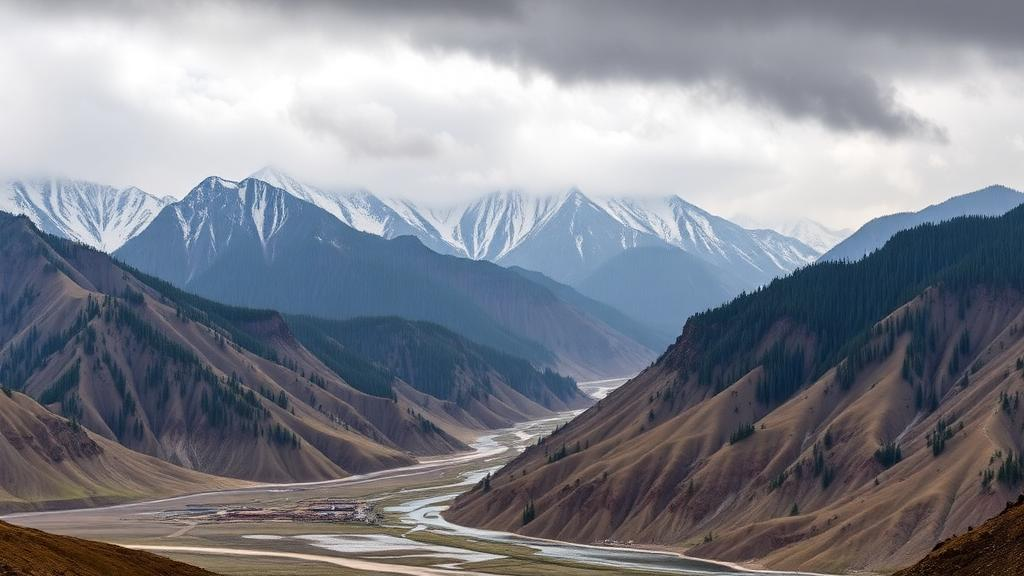
Deep in the heart of Central Asia, far from any ocean, one of the driest regions on Earth occasionally produces rainfall so intense it rivals downpours in the tropics. The western part of northern Xinjiang, China, sits at the crossroads of the Tianshan Mountains and the vast Eurasian interior, and when the atmospheric ingredients align, the results can be dramatic. A new study published in the journal Natural Hazards by Zhiyi Li and Changchun Xu of Xinjiang University has now untangled how large-scale weather patterns and small-scale mountain effects conspire to create these extreme precipitation events, offering one of the most complete multiscale diagnoses of the phenomenon to date.
The research tackles a long-standing puzzle in meteorology: extreme rainfall over complex terrain is born from the interaction between the synoptic-scale circulation, the sweeping patterns of high and low pressure that span thousands of kilometers, and the local convective processes that unfold over just a few kilometers. Scientists have long studied these two scales separately, but the link between a region’s characteristic weather types and the minute-by-minute mechanics of a specific flood-producing storm has remained murky. Li and Xu set out to close that gap by combining two powerful tools: objective weather typing, which sorts historical weather patterns into distinct families, and convection-permitting dynamical downscaling, which uses a high-resolution numerical model to simulate the fine-grained physics of a single event.
The statistical backbone of the study is a technique called obliquely rotated T-mode principal component analysis, applied to 324 six-hourly atmospheric circulation samples. These samples were extracted from 81 warm-season extreme precipitation events that occurred between 2013 and 2022 in the western part of northern Xinjiang. The analysis revealed four distinct weather types, labeled T1 through T4, that govern when the region gets hammered by heavy rain. Two of them dominate: type T1 accounted for 53.1 percent of the circulation samples and type T2 for 28.4 percent, meaning that more than eight in ten extreme rainfall episodes unfold under just two recurring large-scale configurations.
Geography matters just as much as circulation. When the researchers mapped where the 81 events actually dropped their heaviest rain, they found a striking concentration: 72.8 percent of the events had their precipitation centers in the Ili River Valley and the mountains that surround it. This valley, wedged between towering ranges of the Tianshan, acts as a funnel for moisture and a trigger for uplift, making it the undisputed hotspot of extreme precipitation in the region. The finding confirms what local forecasters have long suspected, but it also quantifies the risk in a way that can feed directly into hazard planning for communities and agriculture in the valley.
To understand what actually happens inside one of these storms, the team zoomed in on a spectacular case: the event of 31 July to 1 August 2016, which delivered 100.1 millimeters of rain in just 24 hours at the Kurdening station. That is roughly a year’s worth of precipitation for parts of this arid region, compressed into a single day. The researchers brought multiple lines of evidence to bear, including surface and upper-air observations, back-trajectory analysis using NOAA’s HYSPLIT model to trace where the moisture came from, and a 3-kilometer-resolution simulation with the Weather Research and Forecasting model, a configuration fine enough to explicitly resolve thunderstorms rather than approximate them with statistical shortcuts.
The simulation revealed a storm that unfolded in two distinct phases, each governed by different physics. Before the first phase, the atmosphere grew increasingly unstable: convective available potential energy, a measure of the fuel available to thunderstorms, climbed from 964 to 1733 joules per kilogram. As convection fired and consumed that reservoir of instability, the value collapsed to below 200 joules per kilogram, a classic signature of an atmosphere that has been wrung out by vigorous storms. At 14 UTC on 31 July, the model showed a negative moist potential vorticity center of minus 6 PVU extending to about 6 kilometers in altitude over the windward slope of the mountains, flagging a deep layer primed for instability.
The evolution of moist potential vorticity, a quantity that combines rotation and moisture gradients, told an even more subtle story. As the storm progressed, the diagnostic MPV1 component turned positive while the total moist potential vorticity stayed negative, driven by a dominant negative contribution from the MPV2 component. In the language of atmospheric dynamics, this sequence signals a transition from convective instability, the ordinary kind that fuels thunderstorms, to conditional symmetric instability, a slantwise form of instability that releases energy along tilted surfaces and can sustain banded precipitation. It is the kind of fingerprint that only emerges when a model can resolve the storm’s internal structure, and it explains why the rain persisted even after the initial burst of convection had spent its fuel.
The second phase of the storm was a study in cooperation between wind, water, and stone. An easterly low-level jet blowing at 8 meters per second steered fresh moisture toward the slopes, while the cold pool, the dome of rain-chilled air left behind by the first round of storms, pushed outward like a miniature cold front. Where this outflow collided with the incoming moist flow and with the mountains themselves, the air had nowhere to go but up. Frontogenesis, the sharpening of temperature and wind contrasts, and orographic lifting by the terrain worked together to reignite convection, producing the second wave of heavy rain. Cold pools acting as conveyor belts of moisture, a mechanism documented in regions from the Sahara to coastal China, here proved equally decisive in a semi-arid mountain setting.
What makes this study more than a case report is its architecture. By first classifying the region’s extreme rainfall into a small number of weather types and then dissecting a representative event at storm scale, the authors built a bridge between the climatological view, useful for understanding long-term risk, and the process view, useful for forecasting. The multiscale approach means that when forecasters see a T1 or T2 circulation pattern setting up over Central Asia, they now have a physically grounded expectation of where in the terrain the rain will concentrate and through which mechanisms, whether instability release, symmetric instability, low-level jets, cold pools, or orographic uplift, the storm will intensify.
The implications reach well beyond Xinjiang. Mountainous regions worldwide, from the Alps to the Andes to the Himalaya, face intensifying extreme rainfall as the atmosphere warms and holds more moisture, yet their sparse observation networks make these events hard to predict and even harder to study. The recipe demonstrated here, pairing objective circulation classification with convection-permitting downscaling and diagnostic tools like moist potential vorticity and trajectory analysis, offers a transferable template for other data-sparse mountain regions. For the residents of the Ili River Valley, whose fields and towns sit beneath slopes capable of squeezing a hundred millimeters of rain from a desert sky, the study transforms a seemingly capricious hazard into a process that can be anticipated, monitored, and planned for.
Subject of Research: Multiscale mechanisms of extreme precipitation over complex terrain in northern Xinjiang
Article Title: Multiscale diagnosis of extreme precipitation over complex terrain in the western part of northern Xinjiang by integrating weather typing and dynamical downscaling
Article References: Li, Z., & Xu, C. (2026). Multiscale diagnosis of extreme precipitation over complex terrain in the western part of northern Xinjiang by integrating weather typing and dynamical downscaling. Natural Hazards, 122(20), Article 656. https://doi.org/10.1007/s11069-026-08430-0
Image Credits: AI Generated
DOI: 10.1007/s11069-026-08430-0
Keywords: extreme precipitation, Xinjiang, Ili River Valley, weather typing, dynamical downscaling, WRF model, moist potential vorticity, orographic lifting, cold pools, low-level jet, convection, Natural Hazards
Cite Scienmag News
Courtney Benton. (October 1, 2026). How Mountains and Storm Circulations Team Up to Dump Extreme Rain in Xinjiang. Scienmag. https://scienmag.com/how-mountains-and-storm-circulations-team-up-to-dump-extreme-rain-in-xinjiang/
Courtney Benton. "How Mountains and Storm Circulations Team Up to Dump Extreme Rain in Xinjiang." Scienmag, 1 October 2026, https://scienmag.com/how-mountains-and-storm-circulations-team-up-to-dump-extreme-rain-in-xinjiang/. Accessed 4 October 2026.
Courtney Benton. "How Mountains and Storm Circulations Team Up to Dump Extreme Rain in Xinjiang." Scienmag. October 1, 2026. https://scienmag.com/how-mountains-and-storm-circulations-team-up-to-dump-extreme-rain-in-xinjiang/


