


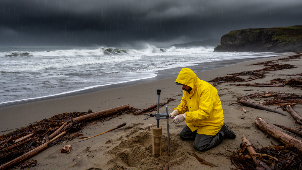
Along a 40-kilometre stretch of India’s southwestern coast, where the monsoon hurls its full force at the shoreline every year, scientists have now pinned down a number that quietly governs nearly every coastal engineering project on Earth: the depth of closure. It is the seaward limit beyond which a sandy beach effectively stops changing shape, the invisible line below which waves can no longer sculpt the seabed. A new study published in Ocean Dynamics by Gayathri Reghu, L. Sheela Nair, and Swathy Krishna M C of the National Centre for Earth Science Studies provides one of the first rigorous depth of closure estimates for the Indian coastline, using six years of wave data from a buoy moored in shallow waters off the southern tip of Kerala.
The concept sounds deceptively simple, but it anchors the entire sediment budget of a coast. When engineers design a beach nourishment scheme, calculate how far offshore sand will be transported, or model where a dredged channel will begin to refill, they need to know the depth at which active profile change ceases. Above that line, waves move sand back and forth; below it, the seabed is essentially inert. Getting the number wrong means either underestimating how much sand a project needs or overbuilding it at enormous cost. For the Indian coast, which spans more than 7,500 kilometres and exhibits extraordinary morphological diversity, site-specific depth of closure estimates have been scarce, largely because long-duration wave and profile data are rarely available.
The study site is a monsoon-dominated, high-energy sandy coast that has been experiencing significant changes in coastal processes driven by both natural and anthropogenic influences. The researchers deployed a Wave Rider Buoy in about 23 metres of water depth, close enough to shore to capture the waves that actually shape the nearshore profile. From six years of records, they computed monthly, seasonal, annual, and multi-year depth of closure limits using the two most widely adopted empirical formulations in coastal science: Hallermeier’s 1981 method and Birkemeier’s 1985 refinement. Both approaches rely on wave exceedance heights, the effective wave heights exceeded only a small fraction of the time, to estimate where intense sediment motion dies out.
Hallermeier’s original formulation divides the beach profile into three zones, with the inner closure depth marking the seaward limit of seasonal profile change. Birkemeier later recalibrated the approach using field data, producing a somewhat shallower estimate. When the two methods were applied to the Kerala coast, they diverged noticeably. Annual inner depth of closure values computed with the Birkemeier formulation ranged from 4.2 to 5.5 metres, while the Hallermeier method yielded 5.5 to 7.3 metres, suggesting the older formulation systematically overestimates closure depth on this particular coast.
To resolve which method was trustworthy, the team turned to in situ coastal profile measurements, the ground truth of coastal morphodynamics. Measured profiles along the study sector showed active change concentrated between roughly 2 and 7 metres of water depth. The Birkemeier-derived inner closure depth of approximately 5.5 metres fell squarely within that observed range, while the Hallermeier values pushed toward the deeper end and beyond what the profiles actually recorded. The conclusion is significant for tropical coasts worldwide: the Birkemeier formulation, originally calibrated on the U.S. Atlantic coast at Duck, North Carolina, adapts remarkably well to a high-energy monsoon coast on the other side of the planet.
But the study’s most consequential finding may concern time scales rather than methods. The researchers found that depth of closure limits vary considerably across monthly, seasonal, annual, and multi-year windows, and that these variations are potentially intensified by indirect and remote extreme events. The southwestern coast of India is periodically affected by tropical cyclones whose centres never make landfall there. Cyclone Ockhi in 2017 caused severe non-monsoonal erosion along the Thiruvananthapuram coast, and cyclone Tauktae in 2021 generated wave-induced coastal flooding along the same shoreline. Such remote forcings can push large waves onto the coast outside the normal monsoon season, temporarily deepening the active profile zone and reshaping the sediment budget in ways that annual averages completely miss.
This is where the study issues a pointed warning to the coastal engineering community. Short-term variations in wave characteristics are often ignored in depth of closure calculations, yet they are among the prime factors controlling the dominant mode of sediment transport, particularly cross-shore transport, the seaward extent of sediment movement, and how these vary spatially and temporally as coastal morphology changes. A closure depth computed from a calm year will differ from one computed during a cyclone-affected year, and a project designed on the calm-year number may find its sand scoured away when an extreme event arrives. The authors argue that considering these short-term variations provides valuable inputs for decisions made during the initial stages of a project, when scientists and engineers recommend appropriate measures, and for successful implementation once the project is finalised.
The timing of this research is hardly accidental. In an era of rapid coastal infrastructure development and profound climate change impacts, effective planning and sustainable management of coastal areas integrating scientific knowledge has become imperative. The study sector itself hosts the Vizhinjam International Seaport, a major deepwater container transshipment hub whose surrounding areas were the subject of a sediment budgeting consultancy project undertaken by the National Centre for Earth Science Studies during 2022 to 2024, funded by Vizhinjam International Seaport Limited. The wave buoy data used in the study were shared by the seaport authority as part of its shoreline monitoring programme, illustrating how infrastructure-driven data collection can feed fundamental coastal science.
Global context sharpens the stakes. Coastal populations worldwide are growing and increasingly exposed to sea-level rise and coastal flooding, and climate change assessments project intensified tropical cyclone activity under anthropogenic warming. For a monsoon-dominated coast already experiencing significant morphological changes attributed to natural and anthropogenic influences, knowing where the active profile ends is the difference between a nourishment scheme that survives the next cyclone season and one that does not. The authors position their work as an initiation, laying the groundwork for more extensive depth of closure research across the diverse Indian coastline, where the adaptability of empirical methods to varying morphological features has not been adequately explored.
What emerges from the study is both a technical validation and a conceptual reframing. The Birkemeier formulation earns its keep as a reliable tool for high-energy tropical sandy coasts, with an inner closure depth near 5.5 metres for this sector of the Kerala shoreline. At the same time, the depth of closure is revealed not as a fixed number but as a moving target, one that breathes with the seasons, shifts with the years, and lurches when remote storms send their swells across the Arabian Sea. For coastal scientists and engineers working on the front lines of shoreline change, the message is clear: the seabed below your project site is more dynamic than your averages suggest, and the waves that move it may come from storms you never saw. The invisible line where the beach ends, it turns out, is drawn and redrawn by forces that respect no single time scale.
Subject of Research: Depth of closure estimation on a monsoon-dominated high-energy coast in southwestern India
Article Title: Estimation of depth of closure limits in a monsoon dominated high energy coast: A case study from the southwestern coastal stretch of India
Article References: Estimation of depth of closure limits in a monsoon dominated high energy coast: A case study from the southwestern coastal stretch of India. (n.d.). https://doi.org/10.1007/s10236-026-01824-5
Image Credits: AI Generated
DOI: 10.1007/s10236-026-01824-5
Keywords: Estimation, depth, closure, limits, monsoon, dominated, high, energy, coast, case, southwestern, coastal
Cite Scienmag News
Violet Maxwell. (October 15, 2026). How Deep Does the Ocean Move Your Beach? Monsoon Coast Yields New Sediment Limits. Scienmag. https://scienmag.com/how-deep-does-the-ocean-move-your-beach-monsoon-coast-yields-new-sediment-limits/
Violet Maxwell. "How Deep Does the Ocean Move Your Beach? Monsoon Coast Yields New Sediment Limits." Scienmag, 15 October 2026, https://scienmag.com/how-deep-does-the-ocean-move-your-beach-monsoon-coast-yields-new-sediment-limits/. Accessed 15 October 2026.
Violet Maxwell. "How Deep Does the Ocean Move Your Beach? Monsoon Coast Yields New Sediment Limits." Scienmag. October 15, 2026. https://scienmag.com/how-deep-does-the-ocean-move-your-beach-monsoon-coast-yields-new-sediment-limits/


