


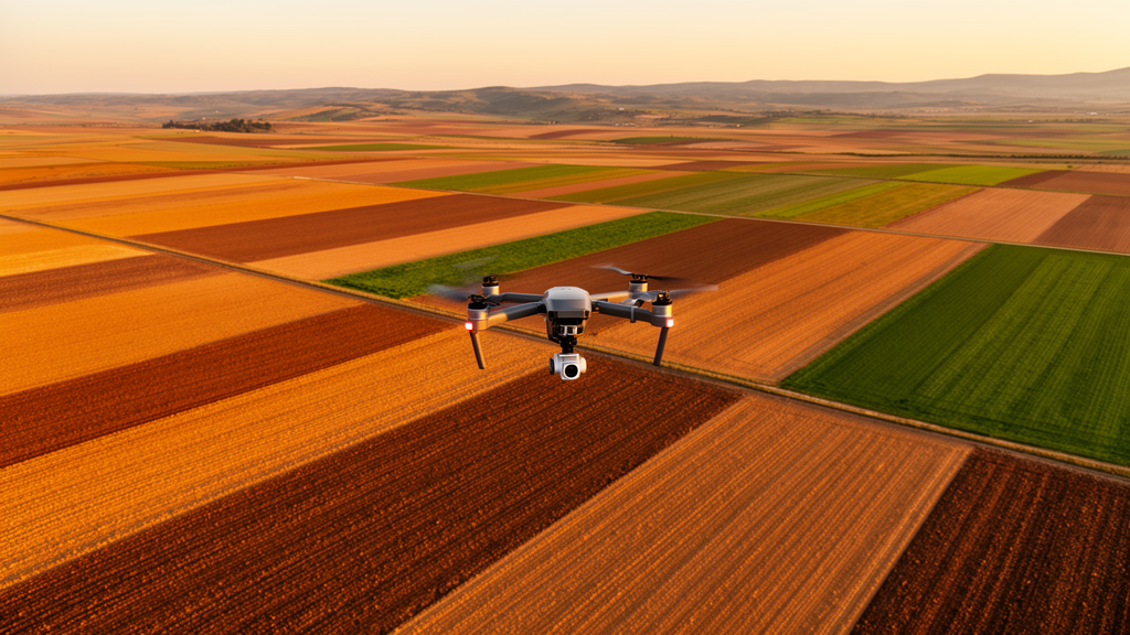
Beneath every field, forest, and desert lies a hidden architecture that decides how much food we can grow, how much carbon we can store, and how resilient our landscapes will be in a warming world. Yet soils remain stubbornly difficult to measure. Their properties shift dramatically across space and depth, and conventional soil surveys, while indispensable, are too expensive and too sparse to keep pace with the fine-resolution decisions that modern agriculture and climate policy demand. A new editorial in Frontiers in Soil Science, led by Hamdi A. Zurqani of the University of Arkansas at Monticello together with Xiangyu Ge of Xinjiang University and Abdulsalam Al-Bukhari of Omar Al-Mukhtar University, argues that the path forward lies in geospatial artificial intelligence, or GeoAI, a fusion of Earth observation, cloud computing, and machine learning that is transforming how scientists predict what soils are made of, pixel by pixel.
The editorial frames a Research Topic of six studies spanning humid, arid, semi-arid, mountainous, and coastal environments, and its central message is deceptively simple: progress in soil prediction depends less on finding a universally superior algorithm than on building coherent workflows in which sampling, predictor selection, model structure, validation, and uncertainty assessment are matched to the target soil property and the environmental setting. Digital soil mapping, the quantitative framework that relates field observations to spatially explicit environmental covariates, has been extended by GeoAI toward nonlinear feature extraction, multisource data integration, and scalable prediction. But stronger algorithms, the editors stress, do not remove the need for representative sampling, spatially appropriate validation, uncertainty quantification, reproducibility, and pedological interpretation.
The first study tackles the foundation of every predictive workflow: where to dig. Rodrigues and colleagues developed autoRA, an algorithm that uses Gower’s dissimilarity index to automatically delineate environmentally representative reference areas for smart soil sampling. By testing different reference-area sizes and spatial resolutions on simulated soilscapes in Florida, United States, and Rio de Janeiro, Brazil, the team produced a reproducible framework for examining the trade-offs among sampling extent, cost, environmental representation, and prediction accuracy. The work is particularly relevant to the emerging concept of digital soil twins, continuously updated spatial representations of soil systems that require efficient strategies for acquiring new field observations as conditions change.
A second persistent bottleneck is the scarcity of labeled soil observations needed to train deep-learning models. Han and colleagues addressed this with a transfer-learning approach that exploits relationships among soil depths: they first pretrained a convolutional neural network using observations from all available depth intervals, then fine-tuned the network for a specific target layer. Remarkably, their method required no exogenous external dataset at all, demonstrating that information already contained within a soil-profile dataset can support transfer learning. The study illustrates how pedologically meaningful relationships among soil layers can be built directly into model development to improve data efficiency, a lesson that resonates far beyond soil science.
Two contributions investigated ensemble learning in the environmentally heterogeneous landscapes of Peru. Carbajal-Llosa and colleagues mapped soil pH and electrical conductivity across the Andean agroecosystem by integrating support vector machines, artificial neural networks, random forest, and XGBoost through simple and performance-weighted averaging. The weighted ensemble achieved R² values exceeding 0.93 and reduced root mean square error by approximately 72 percent, with elevation emerging as the most influential predictor of both properties. Importantly, prediction uncertainty was lower for pH than for electrical conductivity, showing that map reliability remains property-specific even when the same observations, predictors, and modeling framework are used.
Along the coast of northern Peru, Salazar-Coronel and colleagues mapped soil organic carbon in the Motupe River Basin by integrating topographic, climatic, edaphic, and Sentinel-2-derived vegetation variables. XGBoost produced the strongest individual performance with an R² of 0.83, but the study’s methodological strength lies in its validation strategy: spatial block cross-validation, bootstrapping, and 90 percent prediction intervals were used to evaluate spatial generalization and uncertainty. This matters because random cross-validation can produce overly optimistic accuracy estimates when spatially neighboring and environmentally similar observations end up in both training and testing subsets, inflating apparent model skill in ways that collapse in real-world deployment.
The remaining studies showcase the expanding role of hyperspectral sensing, which reads the chemical fingerprints of soil through hundreds of narrow wavelength bands. Mustafa and colleagues applied laboratory visible–near-infrared spectroscopy to 188 soil samples from Qena Governorate, Egypt, estimating sand, silt, clay, and plant-available nitrogen, phosphorus, and potassium. Partial least-squares regression generally outperformed simplified spectrotransfer functions built from selected wavelengths, although the latter retained useful predictive ability for several attributes. The results position laboratory spectroscopy as a rapid, non-destructive complement to conventional soil analysis, while also demonstrating that spectral predictability differs considerably among soil properties.
Mosaid and colleagues extended hyperspectral soil assessment from the laboratory to orbit, comparing random forest, XGBoost, support vector machines, and k-nearest neighbors for soil texture classification in semi-arid regions using EnMAP hyperspectral satellite data under scenarios incorporating spectral bands, spectral indices, and terrain attributes. Support vector machines achieved the strongest results, reaching an overall accuracy of 75 percent and a precision of 79.2 percent when hyperspectral bands alone were used. Instructively, adding indices and terrain variables did not consistently improve performance, a finding the editors highlight as a warning: increasing predictor numbers does not necessarily help a model when variables are redundant, spatial scales are mismatched, or training samples are limited.
From these six studies, four broad priorities emerge. First, sampling design and model development should be treated as components of a single optimization problem, because environmental coverage and sample density define the domain within which predictions can be trusted. Second, spatially structured validation, independent geographic testing, and explicit evaluation of model extrapolation should become standard practices, drawing on established cross-validation strategies for spatially structured data and on methods for estimating the area of applicability of spatial prediction models. Third, uncertainty and area-of-applicability maps should accompany every soil prediction so users can distinguish well-supported estimates from locations that require additional observations. Fourth, future GeoAI systems should prioritize interpretability, transferability, and reproducibility alongside raw predictive accuracy.
The most ambitious directions include pedology-informed learning, domain adaptation across sensors and regions, multiscale fusion of laboratory, proximal, UAV, and satellite observations, and open benchmark datasets supported by harmonized validation protocols. Most critically, the editors call for moving beyond purely statistical spectral–property correlations toward physics-informed hybrid frameworks that couple particulate-scale radiative transfer with machine learning, with predictions constrained by known mineralogical and dielectric bounds. The broader message is that operational soil mapping requires more than algorithmic sophistication: reliable products emerge when representative observations, appropriate covariates, transparent models, spatially defensible validation, quantified uncertainty, and openly shared data are assembled into a coherent workflow. Advancing these elements jointly, the editors conclude, will be essential for translating research-grade predictions into dependable tools for precision agriculture, soil conservation, carbon management, and climate-resilient land-use planning.
Subject of Research: Editorial: Advancing spatial prediction of soil properties using remotely sensed data and geospatial artificial intelligence (GeoAI): challenges, opportunities, and future directions
Article Title: Editorial: Advancing spatial prediction of soil properties using remotely sensed data and geospatial artificial intelligence (GeoAI): challenges, opportunities, and future directions
Article References: Zurqani, H. A., Ge, X., & Al-Bukhari, A. (2026). Editorial: Advancing spatial prediction of soil properties using remotely sensed data and geospatial artificial intelligence (GeoAI): challenges, opportunities, and future directions. Frontiers in Soil Science, 6, Article 1959567. https://doi.org/10.3389/fsoil.2026.1959567
Image Credits: AI Generated
DOI: 10.3389/fsoil.2026.1959567
Keywords: Editorial, Advancing, spatial, prediction, soil, properties, remotely, sensed, data, geospatial, artificial, intelligence
Cite Scienmag News
Alan Morgan. (October 17, 2026). GeoAI and Remote Sensing Are Rewriting How We Map the World’s Soils. Scienmag. https://scienmag.com/geoai-and-remote-sensing-are-rewriting-how-we-map-the-worlds-soils/
Alan Morgan. "GeoAI and Remote Sensing Are Rewriting How We Map the World’s Soils." Scienmag, 17 October 2026, https://scienmag.com/geoai-and-remote-sensing-are-rewriting-how-we-map-the-worlds-soils/. Accessed 17 October 2026.
Alan Morgan. "GeoAI and Remote Sensing Are Rewriting How We Map the World’s Soils." Scienmag. October 17, 2026. https://scienmag.com/geoai-and-remote-sensing-are-rewriting-how-we-map-the-worlds-soils/


