


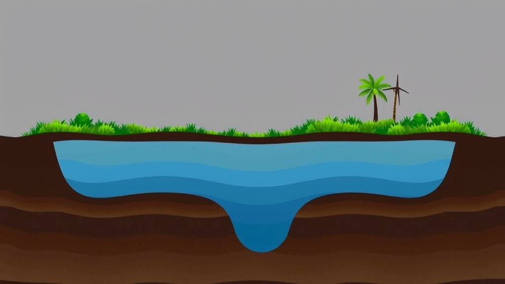
Beneath the sprawling alluvial plains of Patna district in Bihar, India, one of the world’s most intensively farmed and densely populated landscapes sits atop a hidden reservoir that hundreds of thousands of people depend on every day. How much water actually trickles down through the soil into that aquifer, and where it does so fastest, has long been a matter of rough estimation rather than precise science. A new study published in Water Resources Management by Vikram Bharti and Thendiyath Roshni of the National Institute of Technology Patna now offers one of the most detailed spatial pictures to date of groundwater recharge across a Gangetic alluvial aquifer, and its findings carry a counterintuitive twist: cropland and fallow fields, not forests, turn out to be the region’s most generous recharge zones.
The research team deployed WetSpass-M, a physically based distributed water balance model whose name stands for Water and Energy Transfer between Soil, Plants and Atmosphere under quasi-steady state conditions. Unlike lumped models that treat an entire catchment as a single unit, WetSpass-M divides the landscape into a fine grid of raster cells and solves the water balance independently for each one, accounting for the distinct ways that different land surfaces intercept rainfall, shed runoff, transpire moisture and pass water downward to the water table. This cell-by-cell architecture makes the model particularly valuable in regions where direct recharge measurements are scarce, because it can translate widely available spatial datasets such as satellite-derived land cover, digital elevation models, soil maps and meteorological records into physically grounded recharge estimates.
To drive the model, the researchers assembled an extensive set of spatial and temporal hydro-meteorological and topographical inputs for the Patna district alluvial aquifer. Precipitation records, temperature and other climatic variables defined the water arriving at the surface, while land use land cover maps determined how that water was partitioned among evapotranspiration, surface runoff and infiltration across agricultural fields, built-up areas, vegetation and water bodies. Soil properties and topography completed the picture, governing how readily water could move through the subsurface. The model then simulated the full annual water balance, producing spatially explicit maps of recharge, runoff and evapotranspiration across the entire district.
The headline numbers are striking. Simulated annual groundwater recharge across the district ranges from 180.07 millimetres at the low end to 391.67 millimetres at the high end, with a district-wide mean of 307.76 millimetres per year. That spatial spread of more than 200 millimetres within a single administrative district underscores just how heterogeneous recharge can be even across a geologically similar alluvial plain. For water managers accustomed to working with a single district-average recharge figure, the message is that averages conceal critical local variation, and pumping strategies calibrated to the mean risk overexploiting the very cells where replenishment is weakest.
The most provocative result concerns the role of land cover. Using self-organising maps, an unsupervised neural network technique originally introduced by Teuvo Kohonen that projects high-dimensional data onto a two-dimensional lattice while preserving topological relationships, the researchers systematically explored how land use heterogeneity shapes recharge patterns. The analysis revealed significant variation in recharge across land use classes, with crop and current fallow land exhibiting the highest annual recharge, at approximately 330 millimetres. In contrast, the lowest recharge values were observed for the vegetation class comprising forest and plantation, a result the authors attribute to high evapotranspiration and canopy interception. Dense canopies catch and evaporate rainfall before it reaches the ground, and deep-rooted trees draw moisture from the soil profile year-round, leaving less water available to percolate downward.
This finding complicates a widespread intuition that more vegetation automatically means healthier aquifers. In the seasonally dry tropics, the relationship between tree cover and recharge is genuinely nuanced, and previous research has suggested that intermediate tree cover can sometimes maximise recharge in such climates. The Patna results add an important data point from the Gangetic plain: in this intensively cultivated alluvial setting, the open, seasonally bare surfaces of cropland and fallow fields allow monsoon rainfall to infiltrate with comparatively little biological competition, while forested patches act as efficient biological pumps that return precipitation to the atmosphere. The implication is not that forests are undesirable, since they deliver enormous benefits for biodiversity, carbon storage and local climate, but that water resource planning must recognise the trade-offs inherent in land cover decisions.
To disentangle which environmental factors actually control the recharge pattern, the team also applied principal component analysis, a statistical technique that compresses many correlated variables into a small number of orthogonal components capturing the dominant axes of variation. The analysis identified precipitation as the primary input to the recharge system, confirming the fundamental role of the monsoon in sustaining the aquifer. Crucially, however, precipitation does not solely govern the magnitude of recharge. The same rainfall delivered onto a fallow field, a dense plantation or a paved urban surface produces markedly different amounts of water reaching the water table, because land cover modulates the partitioning of every raindrop among evaporation, transpiration, runoff and infiltration. Recharge, in other words, is a co-production of climate and landscape.
The methodological significance of the study lies in its demonstration that a distributed modelling framework can deliver credible spatial recharge estimates in a region characterised by diverse land use and very limited recharge data availability. Traditional field-based recharge estimation techniques, such as water table fluctuation methods or chloride mass balance approaches, demand dense networks of observation wells or chemical sampling that are rarely available across large alluvial plains. By contrast, the WetSpass-M workflow leverages datasets that are increasingly available worldwide, making the approach transferable to other data-scarce alluvial aquifers across South Asia and beyond. The model code itself is openly available, and the authors report that all data used in the analysis are accessible from the sources described in the paper, lowering the barrier for other research groups to replicate and extend the framework.
The practical stakes could hardly be higher. India’s Central Ground Water Board has documented mounting stress on the country’s groundwater resources, and alluvial aquifers of the Indo-Gangetic plain sustain some of the densest agricultural pumping in the world. Because recharge is the process that keeps groundwater a renewable resource, knowing precisely where and how much water replenishes an aquifer determines how much can be sustainably extracted, where artificial recharge structures should be sited, and how land use planning might be steered to protect the most productive recharge zones. The Patna maps provide exactly this kind of actionable intelligence, flagging the agricultural heartlands as the aquifer’s primary intake valves and highlighting the sensitivity of those valves to future changes in cropping patterns, urbanisation and monsoon behaviour.
Looking ahead, the study opens several avenues for further research. As climate change alters the intensity and timing of monsoon rainfall, and as land use in the Gangetic plain continues to evolve under population pressure and economic development, the delicate balance between precipitation input and land-mediated partitioning will shift. Distributed models like WetSpass-M, coupled with machine learning tools such as self-organising maps and principal component analysis, offer a way to track those shifts in near real time and to test scenarios before they unfold on the ground. For the millions who depend on the alluvial aquifer beneath Patna, and for the billions worldwide who rely on groundwater, the study is a reminder that the path water takes from cloud to aquifer is shaped as much by what humans plant on the land as by how much rain falls from the sky.
Subject of Research: Spatial groundwater recharge estimation in an alluvial aquifer using the WetSpass-M distributed model, assessing the influence of land use land cover and precipitation in Patna district, India.
Article Title: Integrated Assessment of Land use Land Cover and Precipitation Response on Spatial Groundwater Recharge Using Distributed Model Framework for Alluvial Aquifer
Article References: Bharti, V., & Roshni, T. (2026). Integrated Assessment of Land use Land Cover and Precipitation Response on Spatial Groundwater Recharge Using Distributed Model Framework for Alluvial Aquifer. Water Resources Management, 40(12), Article 525. https://doi.org/10.1007/s11269-026-04884-w
Image Credits: AI Generated
DOI: 10.1007/s11269-026-04884-w
Keywords: groundwater recharge, WetSpass-M, alluvial aquifer, land use land cover, precipitation, self-organizing maps, principal component analysis, distributed model, Patna district, water resources management, evapotranspiration, hydrology
Cite Scienmag News
Violet Maxwell. (September 20, 2026). Farmland Beats Forests in Groundwater Race, New Model of Indian Aquifer Reveals. Scienmag. https://scienmag.com/farmland-beats-forests-in-groundwater-race-new-model-of-indian-aquifer-reveals/
Violet Maxwell. "Farmland Beats Forests in Groundwater Race, New Model of Indian Aquifer Reveals." Scienmag, 20 September 2026, https://scienmag.com/farmland-beats-forests-in-groundwater-race-new-model-of-indian-aquifer-reveals/. Accessed 5 October 2026.
Violet Maxwell. "Farmland Beats Forests in Groundwater Race, New Model of Indian Aquifer Reveals." Scienmag. September 20, 2026. https://scienmag.com/farmland-beats-forests-in-groundwater-race-new-model-of-indian-aquifer-reveals/


