Just above the surface of the tropical ocean lies a thin layer of air that holds one of climate science’s most stubborn secrets. The humidity of this near-surface air controls how much water evaporates from the sea, and evaporation is the single largest way the ocean cools itself and feeds energy into the atmosphere. Yet despite its importance, this quantity is remarkably hard to measure from space. Satellites can track sea surface temperature and wind speed with growing precision, but the moisture content of the air just above the waves has long been inferred only indirectly, through statistical relationships that carry substantial errors. A new study published in Atmospheric Measurement Techniques by Anna Lea Albright of Harvard University, Bjorn Stevens of the Max Planck Institute for Meteorology, and Martin Wirth of the German Aerospace Center (DLR) proposes an elegant solution: measure the height of low clouds with lasers, and use that measurement to work backwards to the humidity of the air below.
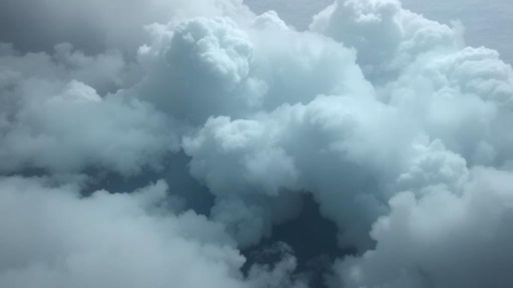
The logic rests on a piece of atmospheric physics that meteorologists have relied on for more than a century. Over most of the tropical and subtropical oceans, the lowest layer of the atmosphere is convectively unstable: the sun-warmed sea keeps the air above it slightly cooler than itself, so the layer is well mixed by turbulence. In such a well-mixed layer, the temperature falls with height at roughly the dry-adiabatic rate while the water vapor content stays nearly constant. As a result, relative humidity increases steadily with altitude, and clouds form at the lifting condensation level, the height at which the rising air finally reaches saturation. That height depends almost entirely on two things: the temperature and the humidity of the air near the surface. Warmer or drier air pushes cloud base higher; moister air pulls it lower. The cloud base, in other words, is a natural gauge of near-surface humidity, one that is written across the sky and readable by instruments that already exist.
What the team did was to invert the classical relationship. Instead of computing cloud base from known surface conditions, they treat the cloud base as the known quantity, measured by a lidar or ceilometer, and recover the humidity from it. The theoretical framework is built on the Clausius–Clapeyron relation, which governs how saturation vapor pressure changes with temperature, and on the assumption that relative humidity increases with height at a rate of roughly four percent per hundred meters in a well-mixed subcloud layer. Combining this lapse rate with the measured cloud base height yields the relative humidity at a reference height of about forty meters above the sea. A final conversion, using the sea surface temperature and the small temperature difference between the water and the overlying air, translates that relative humidity into specific humidity, the quantity that enters directly into the bulk aerodynamic formula for evaporation.
The beauty of the approach is that it attacks the weakest link in satellite estimates of ocean evaporation. In the bulk formula, the evaporative flux depends on the humidity deficit between the surface and the near-surface air, multiplied by the wind speed and an exchange coefficient. Sea surface temperature, and hence the saturation humidity at the surface, is well observed from orbit. Wind speed comes from scatterometers. But the near-surface air humidity has no true satellite proxy, and studies have estimated that errors in this single quantity contribute roughly sixty percent of the total uncertainty in satellite-derived latent heat fluxes. Existing climatologies such as HOAPS, SeaFlux, IFREMER, and J-OFURO rely on statistical correlations with other remotely sensed variables, and even in global annual averages their humidity errors reach about one gram per kilogram, with instantaneous retrieval errors over the subtropical oceans corresponding to tens of watts per square meter in the flux.
To test whether cloud base could do better, the researchers turned to one of the most ambitious field campaigns in modern atmospheric science. EUREC4A, short for ElUcidating the RolE of Cloud-Circulation Coupling in Climate, took place in January and February 2020 in the trade-wind region east of Barbados. The campaign deployed an extraordinary array of instruments: the German research aircraft HALO flew circles of roughly 220 kilometers in diameter at about nine and a half kilometers altitude, releasing 810 dropsondes that measured pressure, temperature, and humidity all the way down to the sea. The research vessel R/V Meteor and the Barbados Cloud Observatory launched radiosondes and operated ceilometers, ground-based laser instruments that fire pulses of light into the sky and time the returns from cloud droplets to determine cloud base height. HALO also carried WALES, an airborne differential absorption lidar capable of profiling aerosol and water vapor from above the clouds.
The ground-based validation used 171 coincident pairings of ceilometer cloud base measurements and radiosonde humidity profiles from the research vessel, collected between 18 January and 14 February 2020, along with 118 pairings from the Barbados Cloud Observatory. Because ceilometer cloud detections tend to be skewed toward elevated values, as clouds dissipate from their bases upward and wind shear stretches cloud layers, the team associated cloud base with the main peak of the distribution of detections rather than with the highest returns. The results were striking: predictions of near-surface specific humidity from cloud base height showed a mean bias of only 0.43 grams per kilogram compared with the radiosonde observations, a median absolute error of 0.52 grams per kilogram, and a correlation of 0.76 with the observed day-to-day variability. For a quantity that has resisted direct satellite measurement for decades, that is respectable skill from a simple laser ranging instrument.
The crucial question, of course, was whether the trick works from above, as it would need to for a satellite application. The team therefore applied the same method to WALES lidar measurements from HALO, identifying cloud base as the lowest altitude where the backscatter signal exceeded background aerosol levels, using a threshold chosen to be well above values produced even by heavy Saharan dust. Two case studies put the method through its paces. On 28 January 2020, the aircraft sampled the small, shallow trade cumulus known to the campaign community as sugar clouds; on 2 February, it flew through a regime of deeper flower clouds with stratiform layers near cloud top and a strong Saharan dust layer reaching up to 2.5 kilometers. The airborne lidar estimates of humidity showed remarkably low mean biases of 0.04 and minus 0.06 grams per kilogram, with correlations of 0.61 and 0.57 and median absolute errors of 0.31 grams per kilogram in both cases.
Just as instructive were the cases where the method failed. The researchers traced a handful of outliers in the lidar comparison back to their physical origins using backscatter profiles, nearby dropsondes, and visible satellite imagery from GOES-16. Some anomalies arose from cold pools, the pockets of rain-cooled air that spread outward from precipitating clouds and produce shallow, moist layers decoupled from the overlying cloud base. Others came from cloud fragments left behind by dissipating stratiform layers, or from multilayered cloud systems in which the lidar detects the base of an upper layer rather than the lowest one. These failure modes are not fatal, the authors argue, but they define the operating envelope: the method requires a convective, well-mixed subcloud layer and a detected cloud base that is genuinely the lowest layer coupled to the surface. Screening for optical depth, multilayer cloud structure, and cold pool contamination would be essential for any operational product.
The error analysis also identifies the two quantities that would need careful calibration in a satellite implementation. The first is the relative humidity lapse rate below cloud base, which the observations confirmed sits close to the theoretical value of four percent per hundred meters for cloudy profiles, with a median of 3.8 percent per hundred meters, but which broadens for non-cloudy soundings. The second is the sea-air temperature difference, which the ship measurements showed had a median of about one kelvin, with the ocean warmer than the air in 97 percent of nearly 48,000 measurements, consistent with the convective conditions the method assumes. Sensitivity calculations show that the humidity error is dominated by the product of cloud base height and the humidity lapse rate, with the temperature difference playing a secondary but non-negligible role.
The outlook is tantalizing because the required ingredients are already partly in orbit. The newly launched EarthCARE satellite carries a high spectral resolution lidar whose horizontal resolution of about 280 meters appears sufficient for the method, though its 100-meter vertical resolution would by itself introduce humidity errors of roughly half a gram per kilogram, a penalty that could be reduced with sufficient averaging given the natural variability of cloud base. The authors suggest that future instruments, perhaps adapted from technologies like the GEDI lidar on the International Space Station, could be designed with cloud base retrieval in mind, potentially alongside coincident measurements of wind speed and air-sea temperature difference. Even before dedicated satellites fly, cloud base information from existing lidars could be folded into reanalyses and into the statistical flux retrieval frameworks already in use, adding a physics-based constraint to approaches that have until now been purely empirical. If it scales, a humble measurement of where the clouds begin could sharpen our accounting of the planet’s largest heat engine.
Subject of Research: Remote estimation of near-surface specific humidity over convective oceans from cloud base height lidar observations
Article Title: Estimating near-surface specific humidity over convective oceanic regions from cloud base height observations
Article References: Estimating near-surface specific humidity over convective oceanic regions from cloud base height observations. (n.d.). https://doi.org/10.5194/amt-19-5973-2026
Image Credits: AI Generated
Keywords: specific humidity, cloud base height, lidar, air-sea fluxes, evaporation, EUREC4A, trade-wind cumulus, boundary layer, satellite remote sensing, lifting condensation level, surface energy budget, EarthCARE
Cite Scienmag News
Russell Cooper. (October 10, 2026). Cloud Base Lasers Offer a New Way to Measure the Ocean’s Hidden Humidity. Scienmag. https://scienmag.com/cloud-base-lasers-offer-a-new-way-to-measure-the-oceans-hidden-humidity/
Russell Cooper. "Cloud Base Lasers Offer a New Way to Measure the Ocean’s Hidden Humidity." Scienmag, 10 October 2026, https://scienmag.com/cloud-base-lasers-offer-a-new-way-to-measure-the-oceans-hidden-humidity/. Accessed 10 October 2026.
Russell Cooper. "Cloud Base Lasers Offer a New Way to Measure the Ocean’s Hidden Humidity." Scienmag. October 10, 2026. https://scienmag.com/cloud-base-lasers-offer-a-new-way-to-measure-the-oceans-hidden-humidity/