


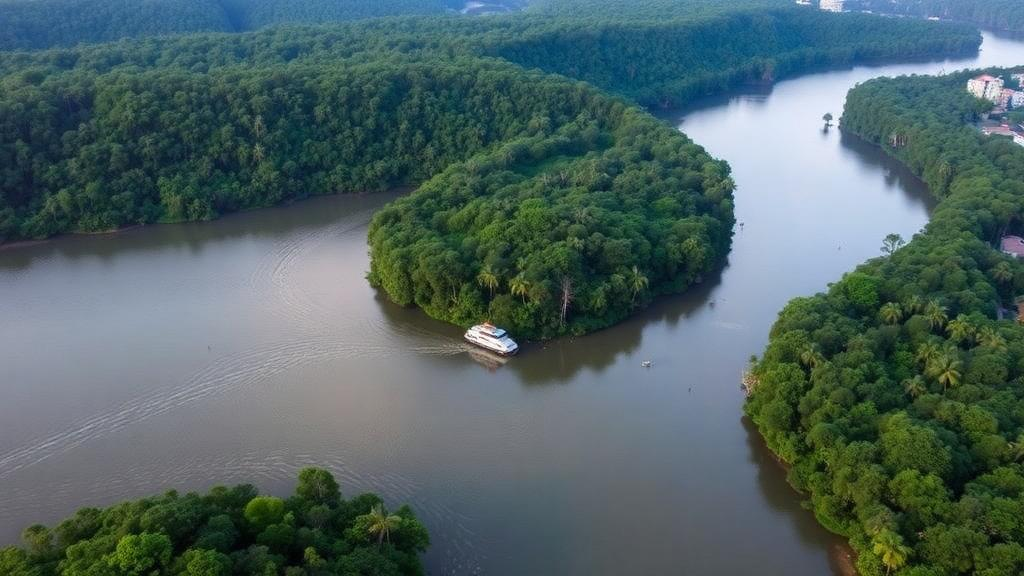
The São Francisco River has been called the river of national integration, a waterway that winds more than 2,800 kilometers across Brazil and sustains millions of people, vast agricultural frontiers, and hydropower dams along its course. Now, a new spatially explicit modeling study published in Earth Science Informatics offers one of the most detailed glimpses yet of how the basin’s landscape could look by 2050, and the picture is sobering. Under every future pathway examined, forest cover declines, while agriculture, pasture, and grassland expand relentlessly across a basin spanning more than 636,000 square kilometers. The research, led by Gabriel Vasco of São Paulo State University with collaborators at institutions across Brazil and Mozambique, projects land use and land cover change under three contrasting socioeconomic scenarios and reveals a stark trade-off between land-use intensification and ecosystem conservation in one of South America’s most strategically important watersheds.
The team built their projections using LuccME, the Land Use and Cover Change Modelling Environment, an open-source framework developed by Brazil’s National Institute for Space Research. The model integrates three interlocking components: a demand module that specifies how much of each land class must change at each time step, a potential module that estimates where change is most likely to occur, and an allocation module that distributes those changes across the landscape. What distinguishes LuccME from many conventional land-change models is its use of Spatial Lag Regression in the potential component, which explicitly accounts for spatial autocorrelation. In practical terms, the model recognizes that land change is contagious: the fate of any given cell depends not only on its own attributes but also on the condition of its neighbors, capturing the clustering and spatial continuity that characterize real landscapes.
To ground the simulation in observed reality, the researchers drew on MapBiomas land use and cover data, reclassifying the detailed legend into five broad categories: Agriculture, Forest, Pasture, Grassland, and Other Uses. Twenty-one explanatory variables were compiled for the 2000 to 2016 period, ranging from agricultural land aptitude, livestock counts, and sugarcane mills to the Gini index of inequality, conservation areas, permanent protection status, railroads, state highways, and population density. All variables were homogenized onto a cellular grid at a resolution of 100 square kilometers using the TerraView GIS environment, creating a common spatiotemporal framework in which vector and raster data could be combined. The period 2010 to 2015 served for calibration, 2016 to 2019 for validation, and 2020 to 2050 for scenario projection.
The scenarios themselves were regionalized from the Shared Socioeconomic Pathways, the standard narrative framework used in international climate research. SSP1-1.9 represents a sustainability-oriented future built on strict environmental enforcement, reduced deforestation, ecosystem restoration, and protection of conservation units and indigenous territories. SSP2-4.5 assumes an intermediate trajectory in which some positive trends of the past decade continue. SSP3-7.0 depicts a strong-inequality world marked by weakened socio-environmental governance and intensified resource exploitation. Each narrative was translated into quantitative land-use demands, with annual change calculated as the difference between the 2050 target area and the 2010 initial area divided across the forty-year simulation horizon, then fed into the allocation algorithm, which distributes transitions according to suitability and inter-class competition.
Model performance proved robust. For the validation year 2019, the overall Spatial Adjustment Index reached 89.48 percent, indicating strong agreement between simulated and observed spatial patterns, while omission and commission errors remained low at 2.59 percent and 2.16 percent respectively. Forest showed the highest spatial adjustment at 97.13 percent, followed by Pasture at 94.48 percent and Agriculture at 88.75 percent. Grassland proved hardest to reproduce, at 78.13 percent, with higher errors concentrated in the central portion of the basin. The regression models underpinning each class also demonstrated strong explanatory power, with coefficients of determination of 0.8378 for Pasture, 0.8081 for Grassland, 0.7957 for Agriculture, and 0.7824 for Other Uses, while Forest’s more moderate fit of 0.5574 suggested that additional, unmeasured drivers influence its dynamics.
Those driver analyses revealed a landscape governed by an intricate interplay of economics, infrastructure, and regulation. Agricultural expansion was favored by good land aptitude, permanent protection designations, and proximity to railroads, but constrained by conservation areas, priority areas, settlements, and distance from state highways. Grassland occurrence correlated strongly with the Gini index, unsuitable areas, and restricted areas, pointing to a striking association between socioeconomic inequality and land degradation trajectories. Pasture responded positively to agricultural production value and restricted aptitude but negatively to conservation areas and inequality. Forest, meanwhile, was positively associated with regular land areas and agricultural production value but negatively affected by proximity to sugarcane mills and priority-area designations. High standard deviations for variables such as permanent protection, state highways, and average annual precipitation underscored pronounced spatial heterogeneity, meaning the same factor can push land change in different directions in different parts of the basin.
The 2050 projections themselves tell a story of divergent futures. Agriculture expands under all three scenarios, from a 2010 baseline of roughly 80,989 square kilometers to 96,668 square kilometers under the sustainability pathway, an increase of 19.4 percent, and up to 118,248 square kilometers under the strong-inequality pathway, a 46.0 percent surge. Grassland grows by as much as 45.0 percent under SSP3-7.0 and 29.6 percent under SSP2-4.5, while Pasture climbs from 5.1 percent under SSP1-1.9 to 36.6 percent under SSP3-7.0. Forest, the basin’s ecological backbone, declines everywhere: by 15.1 percent under the sustainability scenario, 25.2 percent under the intermediate pathway, and a devastating 41.2 percent under the strong-inequality scenario. Other Uses remain comparatively stable, shifting only slightly under SSP1-1.9 but rising 19.3 percent under SSP3-7.0.
Crucially, the spatial patterns of these changes matter as much as their magnitude. Forest loss concentrates in areas adjacent to expanding agricultural land, tracing the advance fronts where natural vegetation is progressively converted. Pasture expansion clusters in regions with established human occupation and high land-use intensity, and the most dramatic transformations occur in transition zones between natural and anthropogenic landscapes. In the upper basin, where native Cerrado vegetation still dominates alongside agriculture, the projections suggest continued erosion of one of the world’s most biodiverse tropical savannas. The basin’s climate, spanning three Köppen types with annual rainfall between 600 and 1,200 millimeters and strong spatial and temporal variability, adds another layer of fragility, since altered vegetation cover directly affects the hydrological cycle that feeds a river discharging approximately 94 cubic kilometers per year.
The implications extend well beyond ecology. Land use and land cover change alters streamflow regimes, reduces water availability, degrades ecosystem services, and increases pressure on hydrological systems already stressed by drought and competing demands from agriculture, cities, and energy generation. The authors emphasize that the projected maps should be read as plausible scenarios rather than deterministic predictions, since uncertainties arise from demand assumptions, variable selection, parameterization based on historical patterns, and the inherent difficulty of allocating change where multiple transitions share similar suitability. LuccME itself has limitations: it cannot freely combine continuous and discrete components, it often relies on accumulated historical patterns rather than observed class-to-class transitions, and it cannot fully capture non-stationary drivers and socioeconomic feedbacks.
Yet the study’s central message is ultimately one of agency. The smallest forest losses occur precisely under the scenario that assumes strong environmental regulation, restoration policy, and land-use control, demonstrating that governance choices materially shape the basin’s future. The researchers argue that limiting agricultural expansion alone will not suffice; complementary strategies, including improved land-use efficiency, more effective territorial regulation, ecosystem restoration, and sustainable economic alternatives, are essential to blunt the adverse effects of projected change. By providing a spatially explicit map of where pressure will intensify, the modeling framework offers water managers and policymakers a practical tool for prioritizing conservation and restoration, anticipating shifts in watershed conditions, and integrating land-use governance with long-term water resource planning across a river basin on which much of Brazil depends.
Subject of Research: Spatially explicit modeling of future land use and land cover change in the São Francisco River Basin, Brazil
Article Title: Spatially explicit modeling of future land use and land cover dynamics in the São Francisco River Basin, Brazil
Article References: Vasco, G., Montenegro, S. M. G. L., Miranda, R. D. Q., Viana, J. F. D. S., Bressiani, D., Mendiondo, E. M., Bezerra, G., Galvíncio, J. D., Santos, C. A. G., & da Silva, R. M. (2026). Spatially explicit modeling of future land use and land cover dynamics in the São Francisco River Basin, Brazil. Earth Science Informatics, 19(11), Article 201. https://doi.org/10.1007/s12145-026-02250-3
Image Credits: AI Generated
DOI: 10.1007/s12145-026-02250-3
Keywords: land use change, land cover, São Francisco River Basin, LuccME, spatial modeling, deforestation, Brazil, SSP scenarios, water resources, geospatial analysis, Cerrado, watershed management
Cite Scienmag News
Violet Maxwell. (October 6, 2026). Brazil’s Lifeline River Faces a Forest Future in Peril, New 2050 Models Warn. Scienmag. https://scienmag.com/brazils-lifeline-river-faces-a-forest-future-in-peril-new-2050-models-warn/
Violet Maxwell. "Brazil’s Lifeline River Faces a Forest Future in Peril, New 2050 Models Warn." Scienmag, 6 October 2026, https://scienmag.com/brazils-lifeline-river-faces-a-forest-future-in-peril-new-2050-models-warn/. Accessed 6 October 2026.
Violet Maxwell. "Brazil’s Lifeline River Faces a Forest Future in Peril, New 2050 Models Warn." Scienmag. October 6, 2026. https://scienmag.com/brazils-lifeline-river-faces-a-forest-future-in-peril-new-2050-models-warn/


