


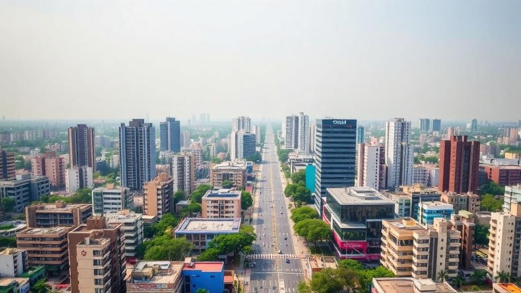
Hyderabad, the sprawling technology hub in southern India, has become a natural laboratory for one of the most consequential questions in urban climate science: what happens to the atmosphere above a city when its landscape is transformed faster than the climate itself can adapt? A new study published in Theoretical and Applied Climatology by T.V. Ramesh Reddy and T. Narayana Rao of the National Atmospheric Research Laboratory provides one of the most detailed answers yet for a tropical inland city. Using the Weather Research and Forecasting model, the researchers compared two snapshots of the same region separated by twenty years of relentless construction, and the results show that the expansion of concrete and asphalt has fundamentally rewritten the city’s near-surface weather.
The starting point of the analysis is a striking statistic. In 2004, built-up areas accounted for just 4.3 percent of the land surface in and around Hyderabad. By 2024, that figure had climbed to 11.7 percent, nearly tripling in two decades as the city and its periphery absorbed waves of new residential, commercial, and industrial development. This is not merely a change in what the ground looks like from above. Every hectare converted from vegetated or bare soil to impervious surface alters the exchange of energy and water between the land and the atmosphere, changing how sunlight is absorbed, how heat is stored, and how much moisture evaporates back into the air.
To isolate the meteorological fingerprint of this transformation, the team ran a full year of simulations, from December 2023 to November 2024, under two contrasting land use and land cover scenarios. One scenario represented the less urbanized landscape of 2004 to 2005, while the other represented the highly urbanized present day. By holding everything else constant, including the large-scale weather patterns of the simulation year, the researchers could attribute any differences in temperature, humidity, wind, and atmospheric structure directly to the change in land cover. This experimental design is a powerful way of separating the signal of urbanization from the noise of natural climate variability.
The most visible consequence is the urban heat island, the well-known phenomenon in which cities run warmer than their rural surroundings. The simulations confirm that Hyderabad exhibits a persistent heat island across all seasons, with urban areas remaining approximately 2 to 3 degrees Celsius warmer than nearby rural regions. What makes the finding particularly important for a tropical city is its timing. The nocturnal heat island is especially pronounced during winter and the post-monsoon season, when clear skies and weak winds allow the heat absorbed by urban materials during the day to be released slowly back into the air through the night. For residents, this means that the relief of nightfall is measurably diminished precisely during the seasons when people are least prepared for heat stress.
The physics behind this nighttime warming lies in the thermal properties of urban materials. Concrete, brick, and asphalt store far more of the incoming solar energy than soil or vegetation, and they release that stored heat with a delay that stretches well into the night. In the older, less urbanized scenario, more of the daytime energy budget was consumed by evaporation and transpiration, processes that cool the surface but are largely absent once vegetation is replaced by pavement. The new simulations quantify this shift directly: urbanization increases the sensible heat flux, the portion of energy that goes directly into warming the air, while reducing the latent heat flux, the portion consumed by evaporating water.
That redistribution of energy has a second, less obvious consequence that the authors highlight as an urban dry island. Because less water is evaporated and transpired over the built-up surface, the near-surface air over the city and its expanding periphery holds significantly less water vapor than it would under the older landscape. The atmosphere above Hyderabad is not only warmer but drier than it would otherwise be. This drying effect compounds the discomfort of heat, since humid heat is harder for the human body to dissipate, and it also has implications for cloud formation, fog occurrence, and the local water balance. Similar urban dry island effects have been documented in cities from Turin to southern China, but documenting the effect in a semi-arid tropical inland city adds an important data point to the global picture.
Perhaps the most technically significant result concerns the planetary boundary layer, the lowest part of the atmosphere where the air responds directly to the surface within hours. The boundary layer is where pollutants disperse, where clouds initiate, and where the day’s heat is mixed downward from the surface. The simulations show that two decades of urbanization have deepened this layer, with daytime boundary layer heights increasing by roughly 100 meters, particularly during winter and the post-monsoon season. The mechanism is straightforward: stronger surface heating drives stronger convective mixing, pushing the top of the mixed layer higher. A deeper boundary layer can dilute pollutants over a larger volume, but it also changes the dynamics of cloud formation and can alter the dispersion pathways of everything from vehicle exhaust to industrial emissions.
Critically, the largest changes were not found over the historic urban core, which had already been densely built decades ago, but over the rapidly urbanizing peripheral regions. These are the neighborhoods and satellite towns at the city’s edge where farmland and scrubland have been converted to development most recently and most rapidly. The finding carries a clear planning message: the meteorological cost of urbanization is paid most heavily at the frontier of growth, often in areas whose infrastructure and populations are least equipped to cope with intensifying heat. It also suggests that land use decisions made today at the periphery will determine the climate burden of tomorrow.
The study sits within a growing body of evidence that land cover change is a first-order driver of regional climate in India, not a secondary effect. Previous work has linked urbanization signatures to heavy rainfall climatology across Indian cities, shown that irrigation and agriculture exert a dominant control on heat island intensity, and documented strong nighttime surface heat islands across the country’s major population centers. What distinguishes the Hyderabad analysis is its explicit pairing of a two-decade land cover contrast with a full annual cycle of simulations, allowing the seasonal structure of the urban effect to emerge. The finding that winter and post-monsoon nights bear the strongest warming is directly relevant to heat stress management, since these are the seasons in which nighttime cooling is most relied upon for recovery.
For a city that has positioned itself as a global technology destination, the results are a reminder that the atmosphere keeps its own ledger. Every square kilometer of new built-up area adds heat, removes moisture, and deepens the boundary layer, and these changes accumulate in ways that standard weather records, which blend urban and rural influences, tend to obscure. The authors’ scenario-based approach demonstrates that the tools now exist to forecast the climatic consequences of alternative development pathways before the concrete is poured. As Indian cities continue to expand at some of the fastest rates in the world, studies of this kind offer a quantitative basis for choices about green cover, surface materials, and growth corridors that could determine whether the next two decades of urbanization repeat the thermal trajectory of the last.
Subject of Research: The influence of land use and land cover change on surface meteorology and planetary boundary layer characteristics over Hyderabad, India
Article Title: Assessing the influence of land use/land cover on regional meteorology over the tropical inland urban city of Hyderabad, India
Article References: Reddy, T. R., & Rao, T. N. (2026). Assessing the influence of land use/land cover on regional meteorology over the tropical inland urban city of Hyderabad, India. Theoretical and Applied Climatology, 157(10), Article 649. https://doi.org/10.1007/s00704-026-06539-7
Image Credits: AI Generated
DOI: 10.1007/s00704-026-06539-7
Keywords: urban heat island, Hyderabad, land use land cover, urbanization, planetary boundary layer, WRF model, sensible heat flux, latent heat flux, urban dry island, tropical climate, India, Theoretical and Applied Climatology
Cite Scienmag News
Violet Maxwell. (October 6, 2026). Two Decades of Urban Sprawl Have Reshaped the Climate of Hyderabad, Simulations Reveal. Scienmag. https://scienmag.com/two-decades-of-urban-sprawl-have-reshaped-the-climate-of-hyderabad-simulations-reveal/
Violet Maxwell. "Two Decades of Urban Sprawl Have Reshaped the Climate of Hyderabad, Simulations Reveal." Scienmag, 6 October 2026, https://scienmag.com/two-decades-of-urban-sprawl-have-reshaped-the-climate-of-hyderabad-simulations-reveal/. Accessed 6 October 2026.
Violet Maxwell. "Two Decades of Urban Sprawl Have Reshaped the Climate of Hyderabad, Simulations Reveal." Scienmag. October 6, 2026. https://scienmag.com/two-decades-of-urban-sprawl-have-reshaped-the-climate-of-hyderabad-simulations-reveal/


