


In the rapidly urbanizing region of the Islamabad-Rawalpindi metropolitan area in Pakistan, the intricate balance between water resource availability and quality has become increasingly precarious. As populations grow and agricultural activities intensify, groundwater sources, which form a critical buffer for both domestic and irrigation demands, face mounting pressures. Recent research endeavors have thrown light on the alarming state of groundwater quality, leveraging advanced analytical tools such as water quality indices and geographic information systems (GIS) to intricately map and assess the nature and viability of these subterranean reserves.
Groundwater, often regarded as the lifeline in arid and semi-arid regions, is pivotal for sustaining both domestic households and agricultural landscapes. The Islamabad-Rawalpindi area, with its burgeoning twin cities, relies heavily on this resource. Yet, unchecked urban expansion, industrial discharge, and the over-extraction of groundwater have contributed to the contamination and depletion of aquifers. This complex phenomenon necessitates a detailed and scientific examination to guide sustainable water management policies.
The investigation employs water quality indices—composite indicators synthesizing various physico-chemical parameters of water—to provide a comprehensive snapshot of groundwater health. Parameters such as pH, total dissolved solids (TDS), concentrations of heavy metals, and other critical constituents are evaluated. By combining these indicators into a singular index, researchers can effectively categorize groundwater into distinct classes ranging from excellent to unsuitable for use, thus simplifying the interpretation for policymakers and stakeholders.
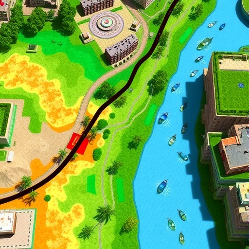
Simultaneously, geographic information systems serve as powerful spatial analysis tools that enable the visualization of groundwater quality across diverse locales within the metropolitan area. GIS integrates environmental data layers, geological information, and sampling results to produce detailed maps that reveal spatial heterogeneity in water quality. This dual application of water quality indices and GIS exceeds traditional assessment methods, providing a multidimensional perspective that is both granular and regionally expansive.
A significant outcome of this work is the identification of groundwater zones exhibiting varying degrees of contamination. Certain localities, especially those adjacent to industrial hubs or densely populated residential areas, show elevated concentrations of pollutants such as nitrates, heavy metals, and salinity markers. These contaminants pose direct risks not only to human health when used domestically but also to crop health and yield when employed in irrigation.
Furthermore, the study highlights anthropogenic factors as primary contributors to groundwater degradation. Urban runoff laden with untreated sewage, effluent from manufacturing facilities, and indiscriminate use of agrochemicals create a cumulative impact. The geological context, including the nature of underlying rock formations and soil permeability, also plays a critical role in modulating groundwater vulnerability.
In addressing the pressing need for sustainable water management, the research underscores the importance of continuous monitoring programs that integrate remote sensing technologies and in-situ sampling. Real-time data acquisition can dramatically improve the responsiveness of water management agencies to emerging contamination threats, allowing timely interventions to prevent health crises and agricultural losses.
This research further advocates for the judicious design of buffer zones around critical aquifer recharge areas. Maintaining these zones free from industrial and heavy agricultural activity can significantly mitigate contamination risks and preserve the natural filtration capacity of soils. Community awareness and stringent regulatory frameworks are instrumental in enforcing such protective measures.
Moreover, the implications for irrigation water quality are profound. Salinity and toxic ion accumulation in groundwater directly affect soil health, leading to reduced fertility and crop productivity. Farmers in the Islamabad-Rawalpindi region, heavily dependent on groundwater for irrigation, face increased vulnerability requiring targeted education and support programs.
From a domestic water supply perspective, the interplay between pollutant levels and social health outcomes cannot be overstated. Waterborne diseases linked to heavy metal exposure and microbial contamination impose substantial burdens on public health infrastructure. Thus, combining scientific insights with health data promotes an integrated approach to tackling water quality problems.
The innovative coupling of water quality indices and GIS brings about a paradigm shift in resource assessment by enabling predictive analytics. Through spatial-temporal modeling, future scenarios of groundwater quality degradation or improvement can be forecasted under various urbanization and climate change models. This prospective capability empowers stakeholders to formulate evidence-based strategic water management plans.
In conclusion, the comprehensive groundwater assessment conducted in the Islamabad-Rawalpindi metropolitan area represents a beacon for similar metropolitan regions grappling with water scarcity and quality challenges. By bridging hydrogeological science with cutting-edge spatial technologies, this approach provides a replicable framework for safeguarding vital groundwater resources. The findings advocate for targeted pollution control, sustainable extraction limits, and enhanced community engagement to ensure the long-term viability of water supplies for both domestic and agricultural needs.
As urban centers continue to expand worldwide, the methodologies and insights from this study underscore the imperative nature of integrating multidisciplinary tools for water resource management. The fusion of data analytics, environmental science, and geographic visualization proved essential in unraveling the nuanced patterns of groundwater quality, hence paving the way toward a more water-secure future in Pakistan and beyond.
Cite Scienmag News
Violet Maxwell. (December 19, 2025). Assessing Islamabad-Rawalpindi Groundwater via GIS, Quality Indices. Scienmag. https://scienmag.com/assessing-islamabad-rawalpindi-groundwater-via-gis-quality-indices/
Violet Maxwell. "Assessing Islamabad-Rawalpindi Groundwater via GIS, Quality Indices." Scienmag, 19 December 2025, https://scienmag.com/assessing-islamabad-rawalpindi-groundwater-via-gis-quality-indices/. Accessed 3 September 2026.
Violet Maxwell. "Assessing Islamabad-Rawalpindi Groundwater via GIS, Quality Indices." Scienmag. December 19, 2025. https://scienmag.com/assessing-islamabad-rawalpindi-groundwater-via-gis-quality-indices/


