Researchers have introduced a new artificial intelligence model designed to turn coarse digital elevation data into sharper, more detailed terrain maps, with results reported in the journal Earth Science Informatics.
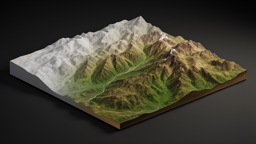
High-resolution digital elevation models, or DEMs, are essential for precise terrain analysis and a wide range of geospatial applications, yet directly acquiring such data remains challenging. DEM super-resolution addresses this by reconstructing high-resolution elevation data from low-resolution inputs while preserving terrain structures.
The new model, called DSR-STRDiff, is a conditional diffusion refinement model built on a ResShift-style framework. Diffusion models generate data through a stepwise refinement process, and the team reports two innovations aimed at improving that process for elevation data.
The first is sampling-aligned training, which is designed to reduce the mismatch between how the model is trained and how it samples during inference. The second is a signal-to-noise ratio gated, terrain-aware regularization term based on slope supervision, intended to preserve fine-grained terrain features that conventional approaches can smooth away.
The model was evaluated on a tile-level split of the TfaSR 30 m DEM dataset. According to the study, DSR-STRDiff achieved the best reported metrics among the compared methods, with an elevation root mean square error of 1.4224 m, a slope root mean square error of 1.1237 degrees, and a peak signal-to-noise ratio of 32.3004 dB.
These results, the authors state, support improved elevation reconstruction and local terrain fidelity under the evaluated conditions.
The team emphasizes that generalization to broader geographic and acquisition settings requires further evaluation. The reported metrics apply to the specific dataset split and comparison methods used in the study, and performance in other regions or with other data sources has not yet been established.
The code behind DSR-STRDiff has been made publicly available on GitHub, allowing other researchers to examine, reproduce, and extend the approach. The article was published on 29 October 2026 in Earth Science Informatics, with Guoqing Hou, Ni Li, Wenyu Wang and Guanghong Gong listed as authors.
As DEM super-resolution methods continue to develop, the study adds a diffusion-based option that explicitly accounts for terrain structure during refinement, an approach the authors suggest could help preserve fine-grained terrain features in reconstructed elevation data.
Subject of Research: A diffusion-based super-resolution model for reconstructing high-resolution digital elevation models
Article Title: Terrain-aware diffusion refinement for high-fidelity digital elevation model super-resolution
Article References: Hou, G., Li, N., Wang, W., & Gong, G. (2026). Terrain-aware diffusion refinement for high-fidelity digital elevation model super-resolution. Earth Science Informatics, 19(12), Article 233. https://doi.org/10.1007/s12145-026-02287-4
Image Credits: AI Generated
DOI: 10.1007/s12145-026-02287-4
Keywords: digital elevation models, super-resolution, diffusion models, terrain analysis, remote sensing, geospatial, machine learning, slope reconstruction, Earth Science Informatics, TfaSR dataset, Terrain-aware, diffusion
Cite Scienmag News
Violet Maxwell. (October 29, 2026). Diffusion model refines coarse elevation data into sharper terrain maps. Scienmag. https://scienmag.com/diffusion-model-refines-coarse-elevation-data-into-sharper-terrain-maps/
Violet Maxwell. "Diffusion model refines coarse elevation data into sharper terrain maps." Scienmag, 29 October 2026, https://scienmag.com/diffusion-model-refines-coarse-elevation-data-into-sharper-terrain-maps/. Accessed 30 October 2026.
Violet Maxwell. "Diffusion model refines coarse elevation data into sharper terrain maps." Scienmag. October 29, 2026. https://scienmag.com/diffusion-model-refines-coarse-elevation-data-into-sharper-terrain-maps/