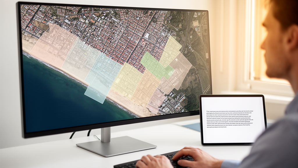
Researchers in China have developed ConceptSeg, an open-vocabulary segmentation framework that lets users slice up satellite, aerial and drone imagery using ordinary text descriptions such as “regulated river channel” or “white residential house,” rather than fixed class lists or manually drawn geometric prompts. The work, published in Frontiers in Earth Science, addresses a persistent weakness in remote sensing analysis: most existing segmentation models are trained for one predefined set of land cover classes, generalize poorly across different sensors, and demand extensive manual annotation whenever a new scene or sensor type appears.
The team, led by Ling Shi and Hang Li of Chang’an University with colleagues from the University of South China, Hunan University of Science and Technology and the First Surveying and Mapping Institute of Hunan Province, built the framework around a frozen Segment Anything Model 3 (SAM 3)-style Promptable Concept Segmentation backbone. A decoder is fine-tuned on top of this backbone using 285,100 remote sensing image patches drawn from seven public benchmarks, each paired with geospatial concept labels. The training data span optical satellite imagery from Sentinel-2, Gaofen-2 and WorldView-3 as well as aerial and UAV platforms.
Technically, ConceptSeg bridges the gap between natural images, on which foundation models are typically trained, and overhead Earth observation imagery through three components. A multi-scale image encoder incorporates geospatially aware positional encoding; a concept encoder projects text prompts into geospatial semantic embeddings; and a cross-attention decoder fuses the prompt and image features to produce the final segmentation mask.
A key methodological choice in the evaluation is the recognition that prompted segmentation methods can receive different amounts of information at test time. The authors therefore report results under three separated input regimes: closed-set automatic segmentation, fully automatic open-vocabulary text-only segmentation, and interactive segmentation combining text prompts with a bounding box. Comparisons are made only against specialist CNN and Transformer models and SAM-based adaptations evaluated under the same input regime, avoiding unfair comparisons between methods given unequal hints.
Across the seven benchmarks, ConceptSeg proved competitive with, or outperformed, these same-regime baselines. The strongest results came in the interactive text-plus-box setting, where the framework achieved mIoU scores ranging from 0.579 to 0.929 across five standard benchmarks, exceeding the best same-regime baseline by 1.7 to 3.3 points. The authors report that this advantage was stable across three independent training runs, suggesting the gains are not an artifact of a single favorable training run.
The fully automatic, text-only regime told a more sobering story. Without a spatial hint such as a bounding box, ConceptSeg attained only 0.21 to 0.46 mIoU, a substantial drop that the authors interpret as evidence that spatial priors remain essential for top-tier accuracy. Fully automatic text-only segmentation of overhead imagery is therefore flagged as an important direction for future work rather than a solved problem.
Where the framework did shine without boxes was in open-vocabulary generalization. When tested on concept phrases withheld during training, ConceptSeg achieved an average mIoU of 0.594, some 15.6 points above the strongest training-free baseline. This indicates that grounding segmentation in semantic language embeddings allows the model to recognize categories it was never explicitly taught to label, a property that fixed-taxonomy classifiers fundamentally lack.
Cross-sensor transfer was another highlight. When trained on Sentinel-2 imagery and applied to Gaofen-2 and aerial imagery using oracle boxes, the framework reached 0.712 and 0.685 mIoU respectively, and retained 92 to 94 percent of that performance when the boxes were generated by a detector rather than supplied by a human. For operational mapping programs that must move between sensors with different resolutions and spectral characteristics, this kind of transferability could reduce the annotation burden considerably.
The practical implications reach into land cover mapping, infrastructure monitoring and environmental change detection, the core geoinformatics applications the authors identify for Earth observation segmentation. By allowing analysts to target buildings, agricultural features, land cover types or disaster damage through free-form descriptions, the framework points toward more flexible interaction with increasingly abundant satellite and drone imagery.
The authors caution that their findings indicate grounding segmentation in semantic language embeddings, combined with spatial priors, improves domain generalization over pixel-space baselines, while fully automatic text-only segmentation remains an open challenge. As with all benchmark-driven evaluations, performance on the seven public test sets may not fully predict behavior on unseen regions or disaster scenarios, and the reported mIoU ranges should be read as measured results under the specified input regimes rather than guarantees for every conceivable prompt.
Subject of Research: A text-prompted open-vocabulary segmentation framework for Earth observation imagery evaluated across seven remote sensing benchmarks.
Article Title: Geoinformatics-oriented concept-guided segmentation of Earth observation imagery using text-driven foundation models
Article References: Shi, L., Li, H., Shi, C., Chen, X., & Wang, Y. (2026). Geoinformatics-oriented concept-guided segmentation of Earth observation imagery using text-driven foundation models. Frontiers in Earth Science, 14, Article 1922826. https://doi.org/10.3389/feart.2026.1922826
Image Credits: AI Generated
DOI: 10.3389/feart.2026.1922826
Keywords: remote sensing, Earth observation, segmentation, foundation models, open-vocabulary, geoinformatics, SAM 3, cross-sensor transfer, text prompts, land cover mapping, Sentinel-2, Gaofen-2
Cite Scienmag News
Violet Maxwell. (October 29, 2026). Text-Driven AI Framework Segments Satellite Imagery From Plain Language Descriptions. Scienmag. https://scienmag.com/text-driven-ai-framework-segments-satellite-imagery-from-plain-language-descriptions/
Violet Maxwell. "Text-Driven AI Framework Segments Satellite Imagery From Plain Language Descriptions." Scienmag, 29 October 2026, https://scienmag.com/text-driven-ai-framework-segments-satellite-imagery-from-plain-language-descriptions/. Accessed 31 October 2026.
Violet Maxwell. "Text-Driven AI Framework Segments Satellite Imagery From Plain Language Descriptions." Scienmag. October 29, 2026. https://scienmag.com/text-driven-ai-framework-segments-satellite-imagery-from-plain-language-descriptions/