


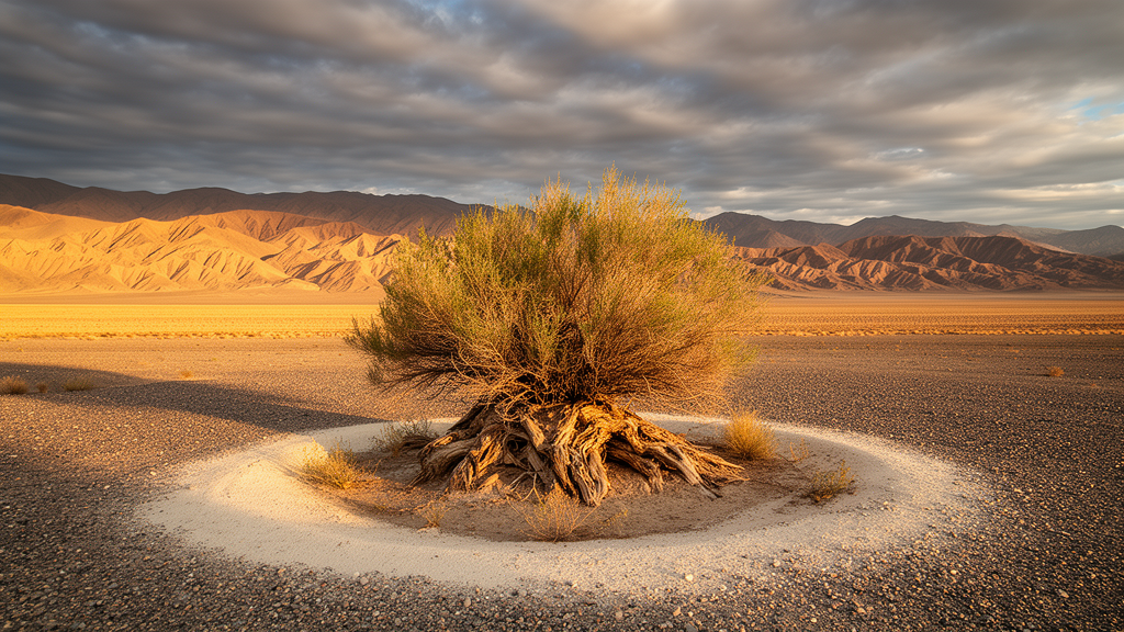
In the deserts of the Alxa Plateau in northwestern China, where the East Asian summer monsoon and the mid-latitude Westerlies meet, a team of researchers has turned to an unlikely climate archive: the growth rings of a desert shrub. By building 26 ring-width chronologies from Zygophyllum xanthoxylum across four sub-regions of the plateau, the scientists traced century-long moisture variations in one of the driest landscapes on Earth at these latitudes. Their analysis, published in the journal Climate of the Past, shows that hydroclimatic change in this arid interior is primarily modulated by the interplay between the two great circulation systems, and it places the boundary of the summer monsome roughly 400 kilometres further northwest than conventionally drawn.
The Alxa Plateau lies north of the Hexi Corridor in Gansu Province and west of the Inner Mongolia Plateau, bounded by the Helan Mountains to the east, the northern mountains of the Hexi Corridor to the south, outliers of the Altai Mountains to the north, and the lower Yabulai, Nurgong, Zongnai and Lang ranges in its middle. Three deserts occupy the plateau: the Tengger, the Ulan Buh and the Badain Jaran. The region has a typical continental climate, with multi-year average annual precipitation at the four reference meteorological stations ranging from about 103 to 183 millimetres, and 82 to 88 percent of that precipitation falling between May and September. Because precipitation decreases toward the central arid zone of Eurasia and droughts are frequent, the area is considered both sensitive to and ecologically vulnerable to global climate change.
Trees are scarce across the plateau interior because aridity limits their distribution, which is why previous dendroclimatic work in the surrounding mountains relied on conifers such as Picea crassifolia while the desert core remained largely unstudied. Zygophyllum xanthoxylum, a super-xerophilous, soil-stabilizing shrub endemic to Central Asian deserts and often the dominant species on gravelly terraces and gently sloping ground, fills this gap. The species forms well-defined annual growth rings, and shrub-ring records from it have already been used for climate reconstruction in the Badain Jaran, Tengger and Ulan Buh deserts. The research team, led by Shengchun Xiao of the Northwest Institute of Eco-Environment and Resources of the Chinese Academy of Sciences, collected samples from 26 sites between 2007 and 2024, treating shrub discs, cross-dating the rings and measuring widths according to standard dendrochronological methods.
The 26 site chronologies were combined into four regional chronologies corresponding to the study’s sub-regions: the Yabulai-Nurgong low mountain area (RN), the Ulan Buh Desert area (RW), the Badain Jaran Desert area (RY) and the Tengger Desert area (RT). Each regional chronology was generated as a weighted mean of the standardized site indices, a construction the authors note can strengthen low-frequency signals. The resulting records show high spatial heterogeneity in interannual variability, but at the decadal scale, captured with 11-year moving averages, the four regions agree around the 1890s, from the late 1910s to the late 1950s, and from the late 1980s to the late 2000s. The middle interval was a low-growth phase, while the other two were consistently high-growth phases.
Response-function and correlation analyses against station data from 1962 to 2017 established what limits the shrubs’ growth. The chronologies correlate positively with the standardized precipitation evapotranspiration index, most strongly at a nine-month scale, and reach significance throughout the growing season. They also correlate positively with monthly precipitation during the growing season, particularly from April to June in the RN, RW and RT regions. Temperature plays a secondary and mostly negative role: three of the four chronologies show weak negative correlations with growing-season monthly mean temperatures, while the RW chronology correlates positively with February and September temperatures. Taken together, the authors conclude that radial growth of Z. xanthoxylum on the plateau is primarily constrained by climatic aridity arising from low precipitation during the growing season, so the chronologies mainly record regional moisture variation.
With the moisture signal established, the team turned to the circulation systems. They used the East Asian summer monsoon index defined by Li and Zeng for 1950 to 2017 and an annual westerly circulation index for 1951 to 2015, the same indices employed in an earlier companion study of mountain tree rings. At the interannual scale, no significant correlations emerged between the chronologies and either index, whether considered whole or grouped into low, medium and high classes by mean plus or minus one standard deviation. The medium index group showed a consistent pattern, negative with the westerly index and positive with the monsoon index, but the low and high groups behaved inconsistently across regions. Structural equation modelling applied at both interannual and decadal scales produced patterns generally consistent with these results.
The decadal scale told a clearer story. Using 11-year moving averages, all four regional chronologies correlated significantly and negatively with the East Asian summer monsoon index, most strongly in the RW and RN regions. For the westerly index, RW and RN showed significant positive correlations while RT and RY showed insignificant negative ones. Partial correlation analysis sharpened the contrast: controlling for the westerly index, all four chronologies correlated significantly negatively with the monsoon index, while controlling for the monsoon index, the northern chronologies RN and RW correlated significantly positively with the westerlies and the southern RY correlated significantly negatively. The westerly index itself cycled through four decadal phases over the instrumental period, strengthening from 1956 to 1963, weakening from 1964 to 1979, strengthening again from 1980 to 1994 and weakening from 1995 to 2011, with the monsoon index largely out of phase with it.
From these patterns the researchers derived a regional response map. When the monsoon is weak and the westerlies strong, shrub growth is enhanced in the northern plateau, in RN and RW, but suppressed in the southern regions, RY and RT. When the monsoon is strong and the westerlies weak, growth is generally inhibited across all four regions. When both systems are strong, growth favours only the RT region; when both are weak, growth is suppressed in the north but promoted in the south. The physical explanation offered for the northern pattern is that when the westerlies intensify, their core shifts southward, bringing increased precipitation to the central and northern plateau, while the cold, dry westerly airflow lowers temperatures and reduces evapotranspiration, easing drought stress. For the monsoon, the mechanism runs the other way: warm, moist monsoon air is obstructed by the Helan Mountains and the eastern Qilian Mountains at the monsoon boundary, producing precipitation on the windward side while descending air on the leeward side becomes warm and dry, exacerbating the plateau’s aridity through a foehn effect within a rain shadow.
These findings also redraw the geography of the monsoon’s reach. The study concludes that the Alxa Plateau is predominantly influenced by the East Asian summer monsoon, whose northern boundary extends approximately 400 kilometres northwestward to the Yabulai-Nurgong-Lang mountains line in the central plateau, a reach that covers the entire Tengger and Ulan Buh deserts. Meanwhile the Westerlies can advance eastward to affect the Helan Mountains. The interaction zone between the two systems is therefore located primarily in the central and northern parts of the plateau, which the authors describe as a key transition zone and interaction arena within China’s arid interior. The southeastern Tengger Desert adds a further complication: it sits in a gap between the southern Helan Mountains and the eastern Qilian Mountains, a topographic funnel that intensifies the interaction between the weakened edges of the two systems, and there growth tends to be lower when the two circulations contrast in strength and higher when both are strong or both weak.
The chronologies also document the region’s drought history. Arid conditions dominate across the four regions, with the longest continuous drought in the northern plateau running from the 1910s to the 1980s and the most severe drought occurring in the 1850s to 1860s. An extreme drought in the 1920s and 1930s, shared by much of northern China, appears in both the desert chronologies and tree-ring records from the surrounding mountains, and the authors note this dry phase persisted for roughly half a century. A relatively consistent humid phase occurred from the late 1980s to the late 2000s, though its timing, duration and intensity varied between regions. From the 1930s to the late 1950s the plateau was dry while the surrounding mountains were humid, an opposing climatic tendency between the two terrains that lasted nearly half a century or longer. The authors caution that the region’s moisture variability is also shaped by larger-scale ocean-atmosphere oscillations, including the North Atlantic Oscillation, the Pacific Decadal Oscillation, El Niño-Southern Oscillation and solar activity, which influence the two circulation systems through different pathways, often with lagged responses. Climatic fluctuations in this transition zone, they argue, critically influence local vegetation dynamics and desertification processes, underscoring its importance for understanding past and future environmental change.
Subject of Research: Dendroclimatic reconstruction of moisture variability and monsoon-Westerlies interaction on the Alxa Plateau using desert shrub rings
Article Title: Interaction between the East Asian summer monsoon and Westerlies as shown by desert shrub-ring records from the Alxa Plateau, Northwest China
Article References: Xiao, S., Peng, X., Ding, A., Tian, Q., Ren, Y., & Wang, J. (2026). Interaction between the East Asian summer monsoon and Westerlies as shown by desert shrub-ring records from the Alxa Plateau, Northwest China. Climate of the Past, 22(10), 1927-1939. https://doi.org/10.5194/cp-22-1927-2026
Image Credits: AI Generated
Keywords: Alxa Plateau, dendroclimatology, shrub rings, East Asian summer monsoon, Westerlies, arid climate, Zygophyllum xanthoxylum, desertification, paleoclimate, northwest China, moisture variability, rain shadow
Cite Scienmag News
Sloane Callahan. (October 27, 2026). Desert Shrub Rings Reveal How Monsoon and Westerlies Shape Northwest China’s Climate. Scienmag. https://scienmag.com/desert-shrub-rings-reveal-how-monsoon-and-westerlies-shape-northwest-chinas-climate/
Sloane Callahan. "Desert Shrub Rings Reveal How Monsoon and Westerlies Shape Northwest China’s Climate." Scienmag, 27 October 2026, https://scienmag.com/desert-shrub-rings-reveal-how-monsoon-and-westerlies-shape-northwest-chinas-climate/. Accessed 27 October 2026.
Sloane Callahan. "Desert Shrub Rings Reveal How Monsoon and Westerlies Shape Northwest China’s Climate." Scienmag. October 27, 2026. https://scienmag.com/desert-shrub-rings-reveal-how-monsoon-and-westerlies-shape-northwest-chinas-climate/


