

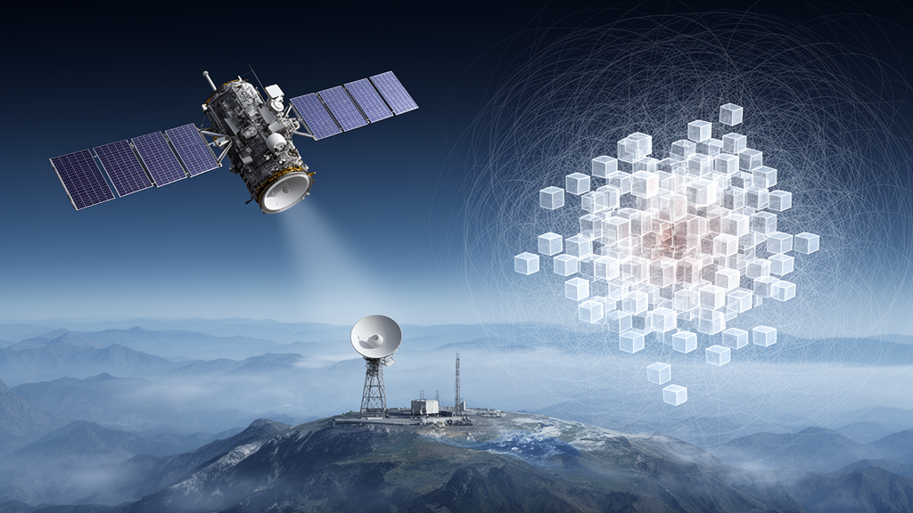
A new localization method designed for three-dimensional satellite interference sources combined frequency-domain covariance matrix reconstruction with adaptive voxel iteration, reducing the search burden while maintaining roughly 5-meter accuracy in the evaluated 20-decibel condition. The approach uses multiple observing stations to estimate each signal’s direction of arrival, then intersects the resulting direction cones to narrow the area that must be searched for its source.
Conventional direct position determination evaluates a position hypothesis across an entire three-dimensional search region. That global search becomes computationally demanding when the monitored volume is large or the desired spatial resolution is fine. In the study’s 2,000-meter-by-2,000-meter-by-2,000-meter region, the proposed method instead used a bounded number of evaluations within a compressed, locally adaptive voxel area, reducing the number of objective-function evaluations by approximately five orders of magnitude relative to exhaustive global direct position determination.
Position refinement began with coarse localization based on direction-of-arrival estimates. The intersection of direction cones from the multi-station measurements substantially reduced the global search region. The algorithm then subdivided that region into voxels and refined the source estimate iteratively, with the resolution decreasing exponentially. This arrangement concentrates computational effort near the likely interference location rather than applying the same fine-grained search throughout the full monitoring volume.
The method’s performance in the evaluated low-signal-to-noise conditions also distinguished it from a fixed-grid approach. At a signal-to-noise ratio of −15 decibels, its localization error was approximately 70 percent lower than that produced by fixed-grid direct position determination. At 20 decibels, it maintained localization accuracy of about 5 meters despite the major reduction in search complexity. These results concern the method and conditions evaluated in the research and indicate a practical balance among accuracy, computational efficiency and robustness, rather than establishing performance for every satellite scenario.
Subject of Research: Three-dimensional localization of satellite interference sources under low signal-to-noise conditions
Article Title: An adaptive voxel-wise iterative satellite interference localization method based on a double-layer UCA antenna
Article References: Li, H., Yao, J., Li, M., Zhang, X., Wang, K., Li, H., & Hou, C. (2026). An adaptive voxel-wise iterative satellite interference localization method based on a double-layer UCA antenna. PLOS One, 21(10), e0360855. https://doi.org/10.1371/journal.pone.0360855
Image Credits: AI Generated
DOI: 10.1371/journal.pone.0360855
Keywords: satellite interference, source localization, direction of arrival, adaptive voxels, low signal-to-noise ratio, computational efficiency, three-dimensional positioning, covariance reconstruction, adaptive, voxel-wise, iterative, satellite
Cite Scienmag News
Scienmag. (October 26, 2026). Adaptive voxel method sharpens satellite interference localization in noisy conditions. https://scienmag.com/adaptive-voxel-method-sharpens-satellite-interference-localization-in-noisy-conditions/
Scienmag. "Adaptive voxel method sharpens satellite interference localization in noisy conditions." Scienmag, 26 October 2026, https://scienmag.com/adaptive-voxel-method-sharpens-satellite-interference-localization-in-noisy-conditions/. Accessed 26 October 2026.
Scienmag. "Adaptive voxel method sharpens satellite interference localization in noisy conditions." Scienmag. October 26, 2026. https://scienmag.com/adaptive-voxel-method-sharpens-satellite-interference-localization-in-noisy-conditions/


