


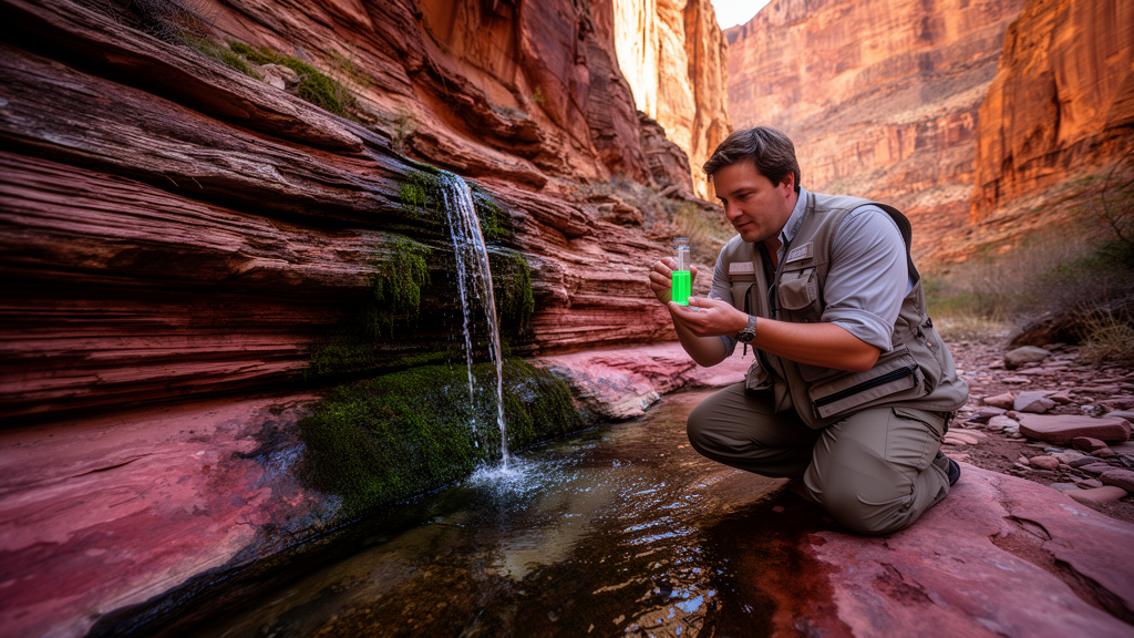
A landmark dye-tracing experiment has for the first time directly linked the treated wastewater discharged along the South Rim of Grand Canyon National Park to a spring deep inside the canyon. In April 2023, United States Geological Survey scientists poured two pounds of fluorescein dye and two pounds of sulphorhodamine B dye into Bright Angel Wash, a normally dry channel that has received treated effluent from the park’s South Rim Wastewater Treatment Plant for decades. Roughly four to six months later, fluorescein turned up in charcoal detectors at Monument spring, several hundred meters below the rim and several kilometers away, and it remained detectable for five months. The finding, published in Hydrogeology Journal, transforms a long-suspected hydraulic connection into a measured, timed reality, and it carries weighty implications for how water is managed in one of the world’s most visited and most water-limited landscapes.
The story begins with a plumbing problem as old as the park itself. Water for Grand Canyon Village has been scarce since the park’s establishment. Water was first pumped from Havasupai Gardens to the village starting in 1932, and storage tanks added in the 1950s helped meet rising demand. When those local springs could no longer keep up, a pipeline built between 1965 and 1970 began carrying water from Roaring Springs, north of the Colorado River near the Bright Angel fault, across the canyon to the South Rim. After use, some of the water is reclaimed for reuse, and the rest flows from the treatment plant into Bright Angel Wash, which follows the surface expression of the Bright Angel fault and runs roughly two kilometers to the southwest before disappearing into the ground. Where that water goes next has been the central question.
The hydrogeology beneath the South Rim is formidable. Groundwater occurs in two aquifer systems: a shallower perched system about 300 meters below the plateau surface in the Permian Kaibab Formation through Coconino Sandstone, and a deeper regional aquifer more than 900 meters down, hosted in units including the Mississippian Redwall Limestone, the Devonian Temple Butte Formation, the Cambrian Frenchman Mountain Dolostone and the Muav Limestone. The Paleozoic carbonate rocks have extremely low primary porosity and permeability, so groundwater movement is controlled mainly by karst features, faults, fractures and joints. Regional recharge is understood to occur near the high peaks of the San Francisco Peaks, about 90 kilometers away, with some smaller localized recharge areas closer to the rim. Dye traces on the Kaibab Plateau north of the canyon have shown dye moving hundreds of meters vertically and kilometers horizontally to springs over months, hinting at a complex network of preferential pathways.
To pin down the connection, the team assembled an unusually robust tracer suite. Between November 2022 and September 2024, they sampled 14 spring sites and five surface water sites, collecting water for per- and polyfluoroalkyl substances (PFAS), five pharmaceuticals, five artificial sweeteners, nutrients, tritium and stable isotopes of oxygen and hydrogen. Charcoal packets were deployed at the springs to capture dye. Background fluorescence was measured before injection, and a reported dye detection required the packet eluent to exceed a quantitation limit of 0.01 parts per billion with the characteristic symmetrical fluorescence curve of the laboratory standard. Field blanks collected between 2022 and 2024 contained no PFAS, pharmaceuticals or artificial sweeteners, and replicate samples showed good agreement, with nitrate replicate variability below one percent.
A seepage investigation in November 2022 revealed how quickly the wash gives up its water. Over three days, the treatment plant released a steady discharge totaling about 1,484 kiloliters, and pressure transducers and flumes at four locations along a 1.5-kilometer reach measured the losses. Mean discharge was 514 liters per minute, and a parcel of water traveled from the outfall to the farthest flume in about three hours and 45 minutes. Roughly 30 percent of the discharge infiltrated by the first downstream flume, and another 10 percent vanished by the end of the reach. The measurements showed that infiltration occurs along the entire streambed, proportionally higher in the first 600 meters, meaning the visible point where flow normally terminates is not the only doorway into the subsurface. Daily effluent discharge averaged 736,572 liters per day between January 2012 and April 2024, below the plant’s permitted capacity of 0.75 million gallons per day.
The chemistry told a strikingly consistent story. PFAS, which do not occur naturally and persist in the environment, were detected in every treated wastewater sample from Bright Angel Wash and in Monument spring samples between 2021 and 2024; of 28 PFAS analyzed, ten were detected in environmental samples, and Monument spring showed nearly the same suite as the wash, missing only the long-chain PFNA and PFDA. Carbamazepine and sulfamethoxazole, persistent pharmaceuticals, appeared at Monument spring in 2021, 2023 and 2024 at similar concentrations, and nowhere else among the South Rim springs. Acesulfame-K and sucralose, artificial sweeteners that pass through treatment largely unchanged, were detected in every Monument spring sample from 2022 and 2023, at concentrations an order of magnitude lower than in the wash. Nitrate at Monument spring, measured at 5.1 to 7.49 milligrams per liter as nitrogen across 11 USGS samples from 2000 to 2024, stood far above the 1 to 2 milligram per liter values recorded in Monument Creek in 1957 and the early 1990s, suggesting the wastewater first arrived in the mid-1990s.
Other springs showed only sporadic, low-level signals. Short-chain PFBA and PFBS turned up in some but not all samples at a handful of springs, low-level acesulfame-K appeared at Salt Creek and Hermit springs, and trace saccharin and neotame detections occurred elsewhere. The researchers attribute these isolated hits to compounds present in modern precipitation, to recreational contact, or to analytical interference, noting that PFBA and PFPeA can produce false positives with low-resolution methods. Multivariate analysis using nonmetric multidimensional scaling separated the sites cleanly: Bright Angel Wash and Monument spring clustered together, most similar to each other, while the other springs formed distinct groups. The combination of repeated dye detections and multiple wastewater tracers was found only at Monument spring, and the persistent tracers argue against claims that wastewater reaches every South Rim spring.
That distinction matters because earlier studies had proposed a much broader connection. Work published by other teams using stable isotopes of water suggested that North Rim water, whether leaked from the transcanyon pipeline or released as treated effluent, contributed up to 60 percent of the flow at springs across the South Rim. The USGS team counters that those estimates relied on a simplified two-end-member mixing model with a single endpoint from a well in Valle, Arizona, which does not account for natural isotopic variability among flowpaths. They point out that recharge from the San Francisco Peaks and Kendrick Park volcanic fields produces isotopic values in a similar range, that groundwater ages at the studied springs range from 356 to 2,930 years, and that stable isotopes are best used alongside direct wastewater tracers. Notably, springs east of the Bright Angel fault, such as Garden and Pumphouse, had the most negative isotopic values, no detectable tritium and no wastewater tracers at all, while tritium categories placed most spring waters in a mixed premodern and modern range.
The structural geology added a final twist. Earlier mapping had depicted a northwest-striking fault connecting the Bright Angel fault to the Monument Creek drainage, and previous research invoked this Monument fault as a possible conduit. But new field mapping found no mappable fault in the strata above the Great Unconformity in Monument Creek; deformation is limited to faulting in Proterozoic crystalline rocks and a southwest-vergent monocline in the Tapeats Sandstone that dies out upward, well below the spring level. At Monument spring itself, water emerges along systematically oriented near-vertical joints, a dominant NNW-SSE set and a subsidiary NNE-SSW set, with no evidence of faulting such as offset layering or brecciation. Some joints extend through the visible height of the Redwall Limestone, potentially providing vertical connections. The dye’s minimum travel time of four months is slower than a direct karst conduit would predict, but fast enough to indicate a preferential pathway.
The picture that emerges is one of combined controls: wastewater likely moves down the damage zone around the Bright Angel fault, through permeable sedimentary layers dipping southwest, along karst features in the lower carbonate units, and along joints and fractures to reach Monument spring. Faults alone are unlikely to explain the flow path. The implications extend beyond a single spring. Fast subsurface pathways that move water several hundred meters down and kilometers across in months matter for decisions about where to discharge effluent, how contaminants from infrastructure or uranium mining in the region might travel, and how groundwater systems across the Colorado Plateau should be protected. As treated wastewater reuse expands globally in water-limited regions, the Grand Canyon study offers a template: multiple independent tracers, deployed patiently, can reveal what the rocks alone will not.
Subject of Research: Subsurface groundwater pathways from treated wastewater infiltration along the South Rim of Grand Canyon
Article Title: Characterization of subsurface groundwater pathways from treated wastewater effluent infiltration along the South Rim of Grand Canyon National Park, Arizona, USA
Article References: Beisner, K. R., Paretti, N. V., Cederberg, J. R., Mavor, S. P., Crow, R. S., & Wilson, M. C. (2026). Characterization of subsurface groundwater pathways from treated wastewater effluent infiltration along the South Rim of Grand Canyon National Park, Arizona, USA. Hydrogeology Journal. https://doi.org/10.1007/s10040-026-03171-7
Image Credits: AI Generated
DOI: 10.1007/s10040-026-03171-7
Keywords: Grand Canyon, groundwater, dye trace, wastewater, PFAS, artificial sweeteners, karst, hydrogeology, Monument spring, stable isotopes, faults, water quality
Cite Scienmag News
Violet Maxwell. (October 26, 2026). Dye trace reveals treated wastewater reaches Grand Canyon spring in months. Scienmag. https://scienmag.com/dye-trace-reveals-treated-wastewater-reaches-grand-canyon-spring-in-months/
Violet Maxwell. "Dye trace reveals treated wastewater reaches Grand Canyon spring in months." Scienmag, 26 October 2026, https://scienmag.com/dye-trace-reveals-treated-wastewater-reaches-grand-canyon-spring-in-months/. Accessed 26 October 2026.
Violet Maxwell. "Dye trace reveals treated wastewater reaches Grand Canyon spring in months." Scienmag. October 26, 2026. https://scienmag.com/dye-trace-reveals-treated-wastewater-reaches-grand-canyon-spring-in-months/


