


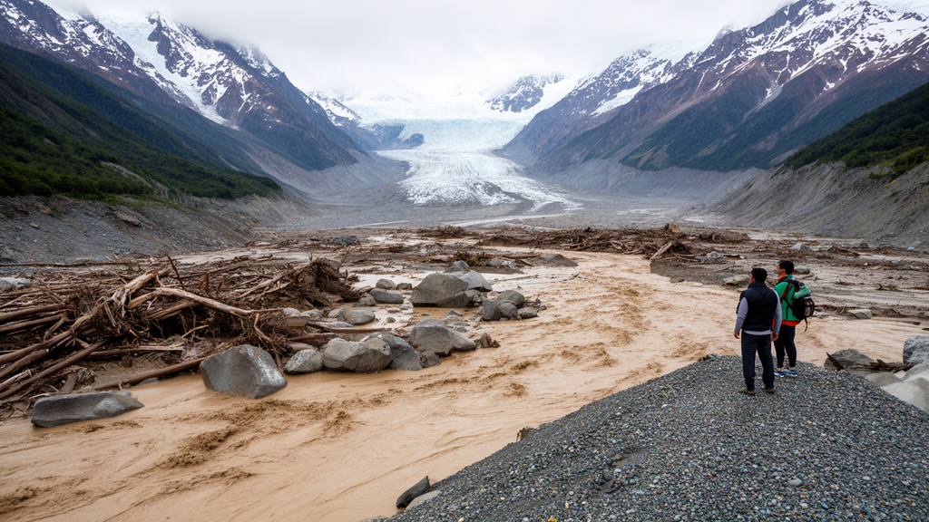
When the moraine dam holding back Laguna del Cerro Largo failed on 16 March 1989, the flood that surged down Valle Soler in Chile's Aysén region was recorded in an official report as a peak discharge of roughly 1,800 to 2,000 cubic meters per second. A new interdisciplinary reconstruction, published in Natural Hazards and Earth System Sciences, concludes that this figure understated the event by nearly an order of magnitude. By combining the testimony of the flood's surviving witnesses with two independent hydrodynamic models and field evidence from sediment cores, the researchers estimate a peak discharge of about 20,000 cubic meters per second, placing the event among the largest recent moraine-dammed outburst floods in northern Patagonia.
The flood originated from the sudden failure of the moraine retaining Laguna del Cerro Largo, a glacial lake on the eastern margin of the Northern Patagonia Icefield. It destroyed three homes, damaged dozens of others, and killed what the original field report described as a great quantity of livestock. The flood was powerful enough to reverse the flow of the Río Baker, Chile's largest river by volume, for several hours.
Yet beyond an initial field study published in 1993 and brief mentions in the wider literature, the event received little scientific attention, a pattern the researchers attribute to the region's rural character and low population density. That inattention stands in contrast to the scale of the hazard. An estimated 15 million people globally live at risk from glacial lake outburst floods, and Patagonia has experienced hundreds of such events over the past century.
The Aysén region alone contains some 10,300 glaciers covering roughly 8,700 square kilometers. Glacial lake area in the region grew by 27 percent between 1986 and 2016, and glaciers along the eastern margin of the Northern Patagonia Icefield have lost roughly 25 percent of their Little Ice Age extent since 1870. Projections suggest glacier mass could decline by 26 to 41 percent by 2100 under warming scenarios of 1.5 to 4 degrees Celsius, conditions under which the frequency and impact of outburst floods are expected to rise in the coming decades.
To reconstruct the 1989 event, the team ran two hydrodynamic models, HEC-RAS 2D and GeoClaw, over the same Copernicus 30-meter digital elevation model covering roughly 480 square kilometers of the drainage from the lake to Lago Plomo. Using identical terrain data ensured that differences between the simulations reflected model structure and parameterization rather than topographic inputs. Crucially, the breach hydrograph that drove both models was constrained by interviews with the three surviving witnesses who were present in the valley when the flood struck.
Their accounts of flood duration, timing, and valley-wide inundation supplied the primary parameters for the models, which is why the researchers treated the testimony as model input rather than as an independent validation dataset; validation instead relied on field-based geomorphic evidence collected using sampling criteria fixed before the model outputs were examined. Those accounts diverged sharply from the historical record. The witnesses, two brothers and a third helper working in the upper valley, described a rapidly descending wall of water that filled the valley from wall to wall, an image captured in their phrase de cordillera a cordillera.
One worker climbed a tree 6 to 8 meters high to avoid being swept away while his companions scrambled up a nearby hill. All three described the flood's arrival as all-at-once, with no gradual rise in water level, and two suggested the moraine must have failed from below to release so much water so rapidly. This contrasts with the original report's hypothesis that an iceberg blocked the outlet, causing progressive overtopping and incision of the dam.
The model results reinforce the witnesses' version of events. The researchers caution that the reconstructed discharge should be treated as an upper bound, because both models solve the shallow-water equations and assume Newtonian flow, while boulders exceeding 8 meters in diameter mobilized in the upper valley indicate the flood initially behaved as a dense, sediment-rich slurry rather than clear water. Field evidence collected during the austral summer of 2024 independently supported the reconstruction.
Sediment cores extracted from Patagonian peat wetlands with a Russian Peat Auger revealed a discrete clastic layer bounded by organic horizons at every sampled site, interpreted as the 1989 deposit, with grain size fining from coarse sand in the upper valley to silt and clay downstream, mirroring the modeled attenuation of flow energy. Scars on tree trunks, all facing upstream on the river-facing side, ranged from about 3 to 7 meters above the present channel, and stranded woody debris was found roughly 7 meters above the river surface. An eddy-bar deposit 8 to 12 meters above the Río Soler at the downstream constriction matched the pooling depths both models reproduced at that location.
Not every method succeeded, and the team is candid about the failures. Of 50 tree cores taken from Nothofagus species, fungal rot rendered 14 unusable and 7 others failed to reach rings old enough to capture the 1989 event. The remaining 29 samples yielded a series intercorrelation of only 0.343, too weak for reliable cross-dating, so the dendrogeomorphic analysis was abandoned, although the physical scars and debris heights still served as paleostage indicators.
Radiocarbon dating proved more decisive: an organic horizon directly beneath the 1989 clastic layer returned a modern age, while a deeper horizon beneath a second, older flood deposit dated to 125 years before present, placing a previously undocumented outburst flood from the adjacent Laguna Turbio around 1899, give or take 20 years. The discrepancy between the official estimate and the reconstruction has a specific technical explanation. The empirical formula used in the 1993 report related peak discharge to drained water volume, but it was derived from ice-dammed lakes, a poor fit for a moraine-dammed lake of Laguna del Cerro Largo's exceptional size.
Another common formula, based on the potential energy of impounded lakes and calibrated across roughly 10^10 to 10^12 joules, faced an impoundment closer to 10^14 joules here, two orders of magnitude beyond its calibration range. At the reported discharge, and assuming sustained peak flow, draining the estimated flood volume of 229 million cubic meters would have taken about 31 hours; witnesses recalled the bulk of the flood passing in 8. Those numbers mattered beyond the science.
Local policymakers and scientists, familiar with estimates in the 2,000 to 3,000 cubic meter per second range from the official report and the cyclical ice-dammed floods of Cachet II, carried the underestimate into disaster planning and emergency preparedness for decades. The researchers argue that community members' place-based awareness, including their recognition of other potentially unstable moraine-dammed lakes in the valley, was largely absent from the original survey, which contained only fleeting references to witness testimonies. Integrating local knowledge with physically based modeling, they conclude, offers a replicable framework for reconstructing poorly monitored floods in data-scarce mountain regions, where the legibility of past floods fades quickly beneath recovering vegetation and overlapping events.
Subject of Research: Interdisciplinary reconstruction of the 1989 Laguna del Cerro Largo glacial lake outburst flood in Aysén, Chile
Article Title: Reconstruction of the 1989 Laguna del Cerro Largo GLOF: an interdisciplinary understanding of GLOF Impacts
Article References: Burton, J. W., Chambers, F. B., Kelley, L., & Soto Narbona, B. (2026). Reconstruction of the 1989 Laguna del Cerro Largo GLOF: an interdisciplinary understanding of GLOF Impacts. Natural Hazards and Earth System Sciences, 26(10), 5241-5259. https://doi.org/10.5194/nhess-26-5241-2026
Image Credits: AI Generated
DOI: 10.5194/nhess-26-5241-2026
Keywords: glacial lake outburst flood, GLOF, Patagonia, Chile, moraine dam failure, HEC-RAS, GeoClaw, dendrogeomorphology, radiocarbon dating, witness testimony, Northern Patagonia Icefield, disaster risk
Cite Scienmag News
Violet Maxwell. (October 26, 2026). Witnesses, models and mud reveal Chile’s 1989 glacial flood was vastly underestimated. Scienmag. https://scienmag.com/witnesses-models-and-mud-reveal-chiles-1989-glacial-flood-was-vastly-underestimated/
Violet Maxwell. "Witnesses, models and mud reveal Chile’s 1989 glacial flood was vastly underestimated." Scienmag, 26 October 2026, https://scienmag.com/witnesses-models-and-mud-reveal-chiles-1989-glacial-flood-was-vastly-underestimated/. Accessed 26 October 2026.
Violet Maxwell. "Witnesses, models and mud reveal Chile’s 1989 glacial flood was vastly underestimated." Scienmag. October 26, 2026. https://scienmag.com/witnesses-models-and-mud-reveal-chiles-1989-glacial-flood-was-vastly-underestimated/


