


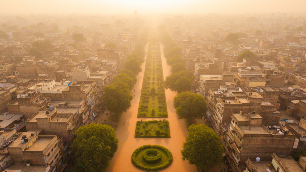
Lucknow, one of northern India's fastest-growing state capitals, has warmed at its surface by nearly two degrees Celsius in just over two decades, and new research suggests that how the city's green spaces are shaped matters as much as how much green space it has. A study of the Lucknow Municipal Corporation area between 2003 and 2025 combined satellite thermal imagery, landscape ecology metrics, and multiscale spatial regression to disentangle the relationships between urban landscape structure and land surface temperature. Its central finding is striking: the cooling association of vegetation cover operates as a broad, near city-wide process, while the warming association of fragmented green patches is tightly localized to individual neighborhoods, operating at the smallest spatial support of any predictor examined.
The research team analyzed cloud-free Landsat imagery acquired in mid-April of 2003, 2013, and 2025, a standardized pre-monsoon window chosen because it captures peak annual surface thermal contrasts in the Indo-Gangetic Plain while minimizing seasonal confounding from vegetation phenology and soil moisture. Landsat 5 TM supplied the 2003 scene and Landsat 8 OLI/TIRS the 2013 and 2025 scenes, all drawn from the USGS Collection 2 Level-2 archive, which delivers atmospherically corrected surface reflectance and surface temperature products. That apparent gain in green cover conceals a structural problem.
The one-kilometer analytical grain was itself selected through a scale sensitivity assessment across 500-meter, one-kilometer, and two-kilometer grids, balancing the need to preserve patch heterogeneity against the statistical requirements of local regression modeling. The thermal consequences were unambiguous. A global ordinary least squares regression on the 2025 data explained only 3.2 percent of the variance in mean surface temperature and left significant positive spatial autocorrelation in its residuals.
Geographically Weighted Regression, which allows coefficients to vary across space with an adaptive bandwidth of 293 nearest neighbors, more than quadrupled the explained variance to 14.5 percent and removed the residual spatial autocorrelation. The multiscale version of the model, Multiscale Geographically Weighted Regression, performed best of all, explaining 32.2 percent of variance with the lowest corrected Akaike information criterion. Its variable-specific bandwidths revealed the study's key insight: green edge density operated at the smallest spatial support, just 46 nearest neighbors out of 366, indicating a sharply localized, neighborhood-scale process, while green percentage cover, built-up percentage cover, and built-up edge density each operated at broad supports of 357 to 365 neighbors, approaching city-wide scales.
Because these bandwidths are adaptive, they represent relative differences in spatial support rather than fixed physical radii. The physical interpretation centers on edge effects. Narrow, irregular vegetated patches have high perimeter-to-area ratios, maximizing their boundary contact with hot impervious surfaces.
This geometric exposure allows lateral sensible heat from surrounding baked roads and rooftops to advect into patch interiors, overwhelming localized evapotranspirative cooling. The penalty was most severe along the eastern and southeastern peri-urban expansion corridors, where local coefficients for green edge density spiked as high as 4.53. Meanwhile, dispersed built-up footprints interspersed with vegetation showed locally cooler surfaces than consolidated impervious cores, consistent with boundary ventilation and interspersed vegetative buffering.
In the dense central core, by contrast, edge effects were largely suppressed where vegetation formed large, continuous matrices. Five directional transects crossing the city added a temporal dimension to the analysis. Between 2003 and 2025, thermal hotspots migrated outward along radial growth corridors by 8.75 kilometers on the West-East transect and 6.26 kilometers on the Northeast-Southwest line, tracking peri-urban development and arterial highway construction.
Along the southern industrial corridor, the thermal peak remained anchored at the airport infrastructure across all three decades, reaching 50.13 degrees Celsius in 2025. Critically, the cooling depression along the Gomti River corridor persisted as the city's primary thermal trough, but its baseline warmed by 3.35 degrees, suggesting that encroachment, reduced riparian vegetative width, and surrounding impervious densification are eroding the buffering capacity of the city's blue-green spine. Perhaps most consequential is the finding of thermal homogenization.
Intra-transect temperature amplitude contracted across all five corridors, by up to 5.90 degrees, because vegetated troughs and peripheral farmland warmed faster, by 3.11 to 5.69 degrees, than already saturated impervious cores, whose peaks changed by between minus 0.97 and plus 3.22 degrees. The city is not merely developing new hotspots; its thermal mosaic is flattening toward uniformly elevated temperatures, narrowing the microclimatic variance that once distinguished cool refuges from hot cores. The authors caution that these are spatial associations rather than demonstrated causal effects, that the regression analysis is cross-sectional, and that single-date April acquisitions represent pre-monsoon baselines rather than continuous climatological trends.
The models also deliberately excluded three-dimensional factors such as building heights, material thermophysical properties, and anthropogenic heat emissions, which likely explains the modest overall explanatory power. The planning implications follow directly from the scale structure of the results. Because built-up warming operates at a macro scale, it calls for city-wide development controls such as reflective roofing standards and impervious surface limits in the municipal master plan.
Because green fragmentation operates locally, it demands neighborhood-scale protections for compact, contiguous green patches, especially in the rapidly developing eastern and northeastern sectors, with specific patch-size standards to be set through site-specific assessments. Preserving continuous riparian buffers along the Gomti emerges as essential for maintaining regional microclimatic ventilation. Future work integrating diurnal thermal data, lidar-derived building morphology, and micro-scale numerical modeling could deepen these insights, but the study already establishes a clear empirical baseline: in fast-growing Global South cities, the geometry of green infrastructure may matter as much as its quantity.
Subject of Research: Multiscale spatial modeling of landscape structure and land surface temperature in Lucknow, India, 2003-2025
Article Title: Modelling scale-dependent urban thermal dynamics through landscape structure: A multiscale spatial analysis of Lucknow, India
Article References: Gupta, R. K., Gupta, A., Yadav, G., & Tiwari, Y. K. (2026). Modelling scale-dependent urban thermal dynamics through landscape structure: A multiscale spatial analysis of Lucknow, India. Environmental and Sustainability Indicators, 32, Article 101582. https://doi.org/10.1016/j.indic.2026.101582
Image Credits: AI Generated
DOI: 10.1016/j.indic.2026.101582
Keywords: urban heat island, land surface temperature, Lucknow, MGWR, landscape metrics, green space fragmentation, Landsat, spatial regression, urban planning, remote sensing, India, thermal homogenization
Cite Scienmag News
Sloane Callahan. (October 23, 2026). Green Space Shape Matters at Fine Scales in Lucknow’s Warming Cityscape. Scienmag. https://scienmag.com/green-space-shape-matters-at-fine-scales-in-lucknows-warming-cityscape/
Sloane Callahan. "Green Space Shape Matters at Fine Scales in Lucknow’s Warming Cityscape." Scienmag, 23 October 2026, https://scienmag.com/green-space-shape-matters-at-fine-scales-in-lucknows-warming-cityscape/. Accessed 23 October 2026.
Sloane Callahan. "Green Space Shape Matters at Fine Scales in Lucknow’s Warming Cityscape." Scienmag. October 23, 2026. https://scienmag.com/green-space-shape-matters-at-fine-scales-in-lucknows-warming-cityscape/


