


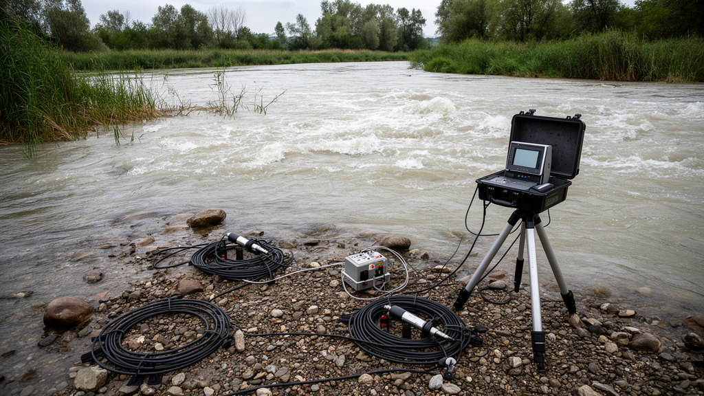
Flood-related seismic signals recorded by permanent earthquake-monitoring stations in northern Italy closely tracked rising water levels in the Tagliamento River during the November 2023 Storm Ciarán, including at a station roughly 3 kilometers from the riverbed. A research study published in 2026 analyzed seismic data from three broadband stations together with water-level, rainfall and wind observations, finding strong but frequency-dependent associations between river flooding and seismic noise. The results show that existing seismic infrastructure captured major flood behavior without sensors installed directly beside the channel, although a shorter, less intense flash flood did not produce a detectable river signal at the available stations.
The investigation focused on the upper Tagliamento in Friuli-Venezia Giulia, a pluvio-nival Alpine river whose natural course and broad gravel bed make it an unusual laboratory for environmental seismology. The studied reach extends about 40 kilometers from Tolmezzo to Villuzza, with channel widths increasing from roughly 300–600 meters near Tolmezzo to 800–1,000 meters at Villuzza. Its bed contains pebble- to boulder-sized carbonate material that can be mobilized during large floods. The authors used observations from the FUSE, BOO and MPRI stations of the OGS seismic network, located approximately 2 kilometers, 1.5 kilometers and 3 kilometers from the main Tagliamento channel, respectively. FUSE was also about 400 meters from the But torrent, a tributary with a mean annual flow reported in the study as 16.3 cubic meters per second.
The principal event was Storm Ciarán, which reached the region on 2 November 2023 and produced floods across Friuli-Venezia Giulia that lasted about 48 hours. Rain gauges recorded rates exceeding 100 millimeters per hour in some northern locations, while the selected pluviometers recorded almost 30 millimeters per 15 minutes as the cyclone arrived around 5 p.m. UTC. Water levels around Tolmezzo and Venzone rose by about 2 meters from normal conditions in roughly three hours. Anemometers registered sustained velocities of 10–20 meters per second, with occasional stronger gusts. These conditions generated a prolonged rise in discharge and transport capacity rather than the brief runoff pulse examined in the second event.
Researchers processed three-component broadband recordings sampled at 100 hertz, filtering the signals between 1 and 40 hertz before removing instrumental response and detrending the waveforms. They calculated power spectral density in 40-second windows with 50 percent overlap, then averaged the spectra over 15-minute intervals to match the sampling interval of the hydrological and meteorological records. Relationships were evaluated with the Spearman rank correlation coefficient, a nonparametric measure of monotonic association that does not require normally distributed data. Frequency bands 5 hertz wide were shifted in 1-hertz increments from 1 to 40 hertz, and the seismic series were lagged against water height in 15-minute steps. This approach located the frequency ranges and delays that best reproduced the observed flood evolution.
At MPRI, the station farthest from the main channel, the strongest relationship with water height occurred at 2–6 hertz. Its maximum Spearman coefficient was 0.94, and the best-fitting seismic curve led the corresponding Villuzza water-level record by 360 minutes. BOO produced a secondary high-correlation peak of 0.84 at 17–21 hertz, with a lag of 270 minutes, while FUSE showed coefficients near 0.9 across much of the range from roughly 7–11 to 29–34 hertz. Its strongest band was 16–20 hertz, with a 255-minute lead over the Ponte Avons level gauge. At MPRI, the local wind record had coefficients around 0.7–0.8 across the frequency range, while rain correlations were lower, generally between 0.3 and 0.5. The authors therefore identified low-frequency seismic energy as more strongly linked to river behavior than to nearby meteorological forcing.
The multi-hour leads cannot be explained simply by the distance between each seismometer and its paired level gauge. Using the Venzone and Villuzza gauges, separated by about 25 kilometers, the researchers estimated an average flood-wave velocity of 3.3 meters per second from a 120-minute delay and a correlation coefficient of 0.96. Traveling from the closest river point to MPRI upstream of the Villuzza gauge would account for only about 45 minutes. The observed seismic-to-hydrological delays were therefore four to six hours, supporting the interpretation that the stations detected flood-generated waves traveling from upstream before the rising water reached their downstream gauges. The authors cautioned that these delays were derived from one major event and could change with rainfall intensity, flood location and other event characteristics.
Frequency-dependent patterns offered additional clues about the river’s changing behavior. At MPRI, low-to-middle-frequency spectrograms formed a pronounced V shape during the rise of the flood, while total spectral amplitude followed a bell-shaped rise and fall. One possible explanation is selective transport: smaller grains moving first could generate higher-frequency collisions, whereas larger cobbles and boulders mobilized at greater discharges could contribute lower-frequency energy. A changing source position as the flood migrated downstream could also affect the observed frequencies. The authors emphasized that neither explanation was established independently, because no sediment-trap or direct bedload-discharge measurements were available during the study. Turbulent flow and moving bedload also generate overlapping seismic signatures, so the researchers could not assign the full signal to either process alone.
Three-component polarization analysis provided evidence that the strongest seismic peaks came from directed river-related sources. Back azimuths changed during periods of elevated spectral power and differed from the more dispersed background orientations. At FUSE, peak directions of approximately 85–100 degrees pointed toward the nearby But torrent, consistent with the dominant contribution of Rayleigh waves at a distance of about 400 meters. BOO directions of 80–85 degrees indicated the nearby widening section of the Tagliamento, while MPRI directions of 150–160 degrees corresponded to a downstream reach where the river was expected to carry more energetic flow. The degree of polarization rose to about 0.5–0.6 during the FUSE flood peak, a range the authors regarded as consistent with reliable polarization analysis.
The contrast with the short flash flood of 18 September 2023 was equally important. Pluviometers recorded approximately 18–21 millimeters per 15 minutes, comparable to values during Ciarán, but the resulting river rise lasted only about one to two hours and reached approximately 1–1.2 meters rather than the much higher stages associated with Ciarán. Seismic amplitudes at BOO and MPRI did not follow water height in any tested frequency band. At BOO, daily anthropogenic noise dominated the 1–15 hertz range, while MPRI primarily recorded wind and local rainfall. The study suggests that the shorter duration and lower maximum stage failed to generate sufficient turbulent flow and sediment transport for a river signal to emerge above background noise, particularly at distances of kilometers.
The findings indicate promising but conditional potential for seismic flood monitoring. Permanent stations deployed for earthquakes detected major flood behavior across the upper Tagliamento, and the best-performing frequency bands varied by site: 16–20 hertz at FUSE, 17–21 hertz at BOO and 2–6 hertz at MPRI. Station distance, site conditions, flood magnitude and duration all controlled detectability, while atmospheric noise became relatively more important at higher frequencies and farther from the river. The authors did not calculate a validated estimate of bedload discharge from the seismic records, but the observed amplitudes, timing and polarization provided information about changing flow and sediment transport. They proposed future empirical or machine-learning models that could estimate water height from seismic data after training and validation on additional events, together with a denser seismic network near riverbanks and tributary confluences. Because the analysis covered one major flood and one shorter flash flood, the reported frequency bands, correlations and lead times remain event-specific and require further testing before broader operational use.
Subject of Research: Environmental seismology for detecting major floods and river dynamics in the upper Tagliamento catchment
Article Title: Seismic analysis of bedload discharge at Tagliamento River during flood events
Article References: Gangemi, M. V., Barrière, J., Borzì, A. M., Cannata, A., Cannavò, F., Oth, A., Parolai, S., Picozzi, M., Spampinato, C., Zini, L., Barisione, G., & Panzera, F. (2026). Seismic analysis of bedload discharge at Tagliamento River during flood events. Natural Hazards and Earth System Sciences, 26(10), 5133-5150. https://doi.org/10.5194/nhess-26-5133-2026
Image Credits: AI Generated
DOI: 10.5194/nhess-26-5133-2026
Keywords: environmental seismology, Tagliamento River, river flooding, seismic noise, bedload transport, Storm Ciarán, flood monitoring, Alpine rivers, hydrology, earthquake monitoring stations, Seismic, analysis
Cite Scienmag News
Violet Maxwell. (October 21, 2026). Seismic stations detect Tagliamento flood signals up to 3 kilometers away. Scienmag. https://scienmag.com/seismic-stations-detect-tagliamento-flood-signals-up-to-3-kilometers-away/
Violet Maxwell. "Seismic stations detect Tagliamento flood signals up to 3 kilometers away." Scienmag, 21 October 2026, https://scienmag.com/seismic-stations-detect-tagliamento-flood-signals-up-to-3-kilometers-away/. Accessed 21 October 2026.
Violet Maxwell. "Seismic stations detect Tagliamento flood signals up to 3 kilometers away." Scienmag. October 21, 2026. https://scienmag.com/seismic-stations-detect-tagliamento-flood-signals-up-to-3-kilometers-away/


