


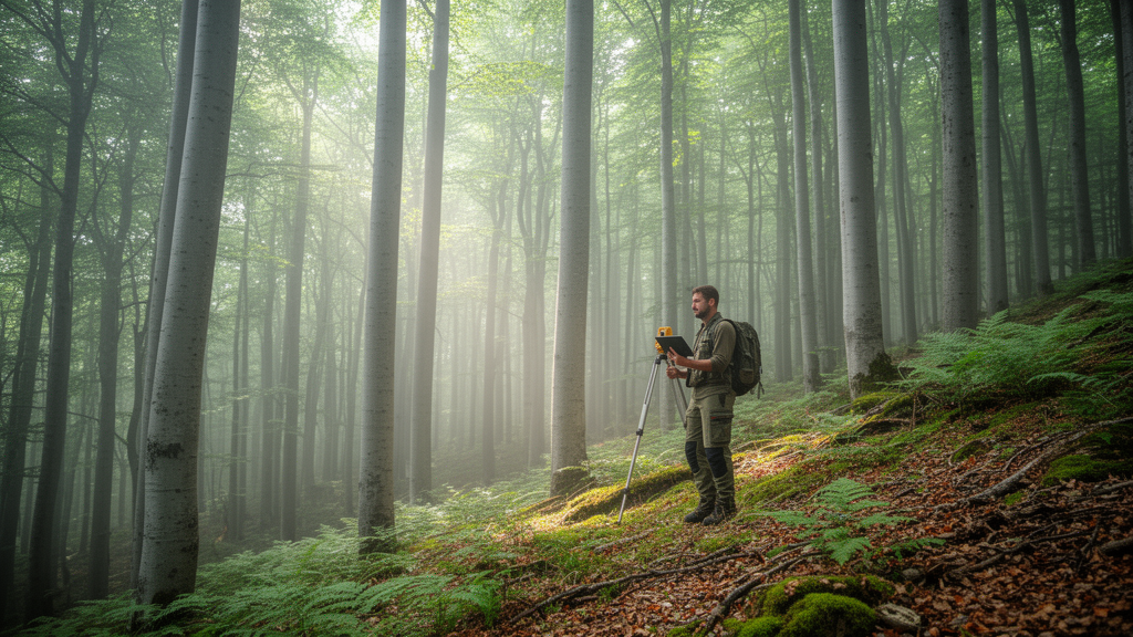
A field survey and habitat-mapping study identified seven EUNIS forest habitat types across 144.85 km² of Godech Municipality in western Bulgaria. The mapped habitats occupied 790 polygons, providing a detailed spatial account of forest distribution, vegetation structure and species composition in the municipality. The study was a spatial vegetation assessment based on fieldwork conducted during 2019 and 2020, rather than an experiment or long-term monitoring program.
Researchers used the Braun-Blanquet approach to collect 418 vegetation relevés in homogeneous forest communities and recorded 3,422 verification field points. All relevés were subsequently added to the Balkan Vegetation Database and the Balkan Dry Grassland Database. Habitat identification followed the revised EUNIS classification.
The researchers used the EUNIS-ESy expert system within JUICE 7.1, determining diagnostic, dominant and constant species for the habitat groups. Semi-natural communities were classified to alliance level using vegetation literature and expert knowledge. Mapping was performed in ArcGIS 10.6 using GPS observations, the most recent available orthophotos, forestry management plan data, agricultural-area data and Bulgarian Natura 2000 habitat maps.
Field information and imagery were used to draw and refine habitat polygons manually, producing a map at a 1:5,000 scale. The largest mapped type was T17, Fagus forest on non-acid soils, covering 51.9 km² in 211 polygons. It occurred mainly between 600 and 1,600 metres above sea level on slopes of up to 20–25 degrees, largely over sedimentary rocks and shallow to moderately deep Cambisols.
Fagus sylvatica dominated the closed tree layer, accompanied in some stands by Quercus petraea, Carpinus betulus, Sorbus and Tilia species. The herb layer covered 15–65% and included Aremonia agrimonoides, Mercurialis perennis, Helleborus odorus and several orchid species. The authors related this vegetation to Habitat Directive type 9150, medio-European limestone beech forests of the Cephalanthero-Fagion.
T3N, coniferous plantations of site-native trees, covered 41.97 km² in 246 polygons and ranked second by mapped area. Pinus sylvestris, Pinus nigra and Picea abies were the principal tree species. Pinus sylvestris stands had a closed horizontal structure, whereas Pinus nigra stands were semi-open.
Shrub cover reached 60–70% in some plantations, while herb-layer cover ranged from 10–70%, depending on the plantation and the shading produced by the tree and shrub layers. T19, temperate and submediterranean thermophilous deciduous forest, covered 23.70 km² in 212 polygons, primarily on east- and south-facing slopes in the Vidlich, Vuchibaba and Ponor mountains. Quercus cerris, Quercus frainetto and Quercus pubescens dominated a tree layer with 75–90% cover.
The community was associated with Habitat Directive habitats 91M0, Pannonian-Balkanic turkey oak-sessile oak forests, and 91H0, Pannonian woods with Quercus pubescens. Across T17 and T18, the two beech-forest types occupied 64.6 km² combined. T18, Fagus forest on acid soils, covered 12.07 km² in two polygons in Berkovska Mountain, with Fagus sylvatica forming a dominant closed canopy.
T1E, Carpinus and Quercus mesic deciduous forest, occupied 12.20 km² in 78 polygons; its tree layer had 85–100% cover and was associated with Habitat Directive type 9170, Galio-Carpinetum oak-hornbeam forests. Temperate Salix and Populus riparian forest, classified as T11, covered 1.8 km² in 29 polygons along the Nishava, Glutnitsa, Zli dol and Shumska rivers. The authors assigned it to Habitat Directive habitat 91E0, alluvial forests with Alnus glutinosa and Fraxinus excelsior.
The smallest mapped category was T1H, broadleaved deciduous plantations of non-site-native trees, covering 1.21 km² in 12 polygons and dominated by Robinia pseudoacacia and Quercus rubra. The researchers identified degradation and loss from logging, fires, pollution, pest invasions and erosion as major forest problems in the study area. They reported that T1E and T19 communities were turning into shrublands and that T11 riparian forests were experiencing damage.
These were field-based observations rather than measurements of temporal trends, and the study did not quantify rates of change in forest condition. The principal study output was the detailed 1:5,000 classification and map of seven forest habitats, including their area, polygon number, location, vegetation structure and species composition. The authors proposed measures aimed at forest regeneration, afforestation with native species and preventing further introductions of invasive alien species, and stated that more research is needed to reveal the full condition of forests in the western parts of Bulgaria.
Subject of Research: Field mapping of seven forest habitat types in Godech Municipality, western Bulgaria
Article Title: Forest habitats of Godech Municipality, Western Bulgaria
Article References: Grigorov, B., Velev, N., Assenov, A., Nazarov, M., Genova, B., & Vassilev, K. (2023). Forest habitats of Godech Municipality, Western Bulgaria. BioRisk, 20, 153-163. https://doi.org/10.3897/biorisk.20.97534
Image Credits: AI Generated
Keywords: forest habitats, Godech Municipality, Bulgaria, EUNIS classification, habitat mapping, vegetation surveys, beech forests, conifer plantations, riparian forests, Natura 2000, Forest, habitats
Cite Scienmag News
Ophelia Keating. (October 20, 2026). Field mapping identifies seven forest habitat types across 144.85 km² in western Bulgaria. Scienmag. https://scienmag.com/field-mapping-identifies-seven-forest-habitat-types-across-144-85-km%c2%b2-in-western-bulgaria/
Ophelia Keating. "Field mapping identifies seven forest habitat types across 144.85 km² in western Bulgaria." Scienmag, 20 October 2026, https://scienmag.com/field-mapping-identifies-seven-forest-habitat-types-across-144-85-km%c2%b2-in-western-bulgaria/. Accessed 20 October 2026.
Ophelia Keating. "Field mapping identifies seven forest habitat types across 144.85 km² in western Bulgaria." Scienmag. October 20, 2026. https://scienmag.com/field-mapping-identifies-seven-forest-habitat-types-across-144-85-km%c2%b2-in-western-bulgaria/


