


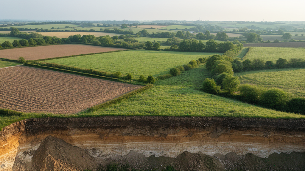
A conceptual study of two contrasting Lithuanian farming landscapes found that intensive arable cultivation can occupy land positions that are especially important for regulating erosion, water movement, nutrient retention and soil organic carbon. The researchers used the Nature Frame, a spatial model that divides landscapes into elevated geoecological divides, hydrologically active migration corridors and internal stabilization areas, to examine whether agricultural intensity matched the functions associated with each zone. The analysis suggests that uniform management may be poorly suited to landscapes with strong spatial differences, particularly the intensively cultivated lowland district of Joniškis.
The study, published in Frontiers in Soil Science, compared Joniškis in northern Lithuania with Molėtai in the east. Joniškis is a 1,151.6-square-kilometre lowland district with a mean slope of about 1 degree, fertile loamy soils and extensive mechanized production. Arable land covered 71.9% of the district, and within the agricultural areas represented in the crop-declaration data, arable land accounted for 96.1%. Molėtai, by contrast, is a 1,366.8-square-kilometre moraine upland with a mean slope of about 3.3 degrees. Forests covered 38.6% of it, arable land 33.5%, and grasslands 9.6%. Among its declared agricultural areas, perennial grasslands and pastures were the largest category at 51.4%, compared with 26.4% arable land.
The differing terrain produced markedly different spatial structures. The Nature Frame occupied 610.9 square kilometres, or 53.0%, of Joniškis and 785.3 square kilometres, or 57.5%, of Molėtai. In Joniškis, geoecological divides represented 37.5% of the framework, migration corridors 37.6% and internal stabilization areas 24.8%, producing a comparatively balanced arrangement associated with broad watersheds and developed river valleys. In Molėtai, geoecological divides dominated at 63.0%, compared with 23.3% for migration corridors and 13.7% for internal stabilization areas. The hillier landscape contained extensive watershed and ridge systems dissected by valleys, lake basins and other hydrologically active forms.
Spatial overlay showed that 348.0 square kilometres of declared agricultural land in Joniškis fell within the Nature Frame, equivalent to 44.3% of the district’s declared agricultural area. Almost half of the arable land inside the framework lay in migration corridors, while 31.0% lay in geoecological divides and 20.8% in internal stabilization areas. This distribution raised a potential mismatch: the lowland setting favours intensive cultivation, but its corridors and divides also participate in the movement, accumulation and stabilization of water, sediment, nutrients and organic matter. The study did not directly measure degradation caused by this arrangement, but it identified where land-use intensity and geoecological role could be in tension.
Molėtai’s declared agricultural land within the framework covered 180.3 square kilometres, or 41.7% of its declared agricultural area. Its land-use pattern was substantially more diversified. Perennial grasslands and pastures occupied 97.8 square kilometres, natural grasslands 21.8, arable land 40.2, landscape elements 10.5 and temporary grasslands 10.0. The first three perennial and natural categories were concentrated in geoecological divides, where they accounted for 54.8%, 53.9% and 76.2%, respectively. Arable land was distributed among divides, corridors and stabilization areas at 35.9%, 40.3% and 23.8%. The contrast indicates that environmental heterogeneity in the upland district had already shaped a land-use structure more closely differentiated by landscape position than that of Joniškis.
To interpret the patterns, the authors developed a conceptual matrix linking agricultural categories with four soil-related criteria: tillage intensity, erosion potential, soil organic carbon accumulation potential and biodiversity conservation. The criteria were scored on the same ordinal scale and added without differential weighting. For arable land, scores for each criterion could be −1 or 1, producing a possible total from −4 to 4. Natural grasslands and landscape elements received the highest overall compatibility scores, followed by perennial grasslands, while temporary grasslands were intermediate and arable land received the lowest score. The assessment was expert-based and conceptual: the resulting map expressed the matrix spatially rather than independently validating soil-function compatibility.
The conceptual results nevertheless point to distinct management roles for the three types of Nature Frame zone. Geoecological divides, commonly positioned on elevated terrain where runoff is generated, were assigned priorities of reducing erosion risk, increasing soil organic carbon accumulation and maintaining soil stability. Migration corridors, including valleys and drainage systems that transmit water, sediments, nutrients and organisms, were linked to water regulation, reduced nutrient leaching, ecological connectivity and biodiversity. Internal stabilization areas were presented as potentially better suited to balanced agriculture that preserves soil fertility, landscape structure and long-term agroecosystem stability. Agricultural land outside the framework was not excluded from farming, but the model suggested that conventional management might be more compatible there while retaining general soil-conservation principles.
The authors say this is a decision-support concept rather than a territorial plan or a mandatory set of measures. Its central proposition is that management intensity should correspond not only to productivity conditions but also to a location’s role in the wider landscape. In intensively farmed, relatively homogeneous lowlands, the framework may reveal mismatches that are hidden by district-wide land-use statistics and provide a basis for targeted differentiation. The authors further propose that its value may be greater where agricultural intensification has simplified natural heterogeneity, while already diversified upland landscapes may require less additional spatial differentiation. That proposition remains a hypothesis requiring validation in other agricultural settings.
Several limitations constrain the findings. The study did not quantify erosion rates, soil organic carbon stocks or nutrient fluxes, and it did not test whether a particular field practice improved a measured soil function. Its conclusions depend on generalized expert scores and on the scale and resolution of the soil, cadastral, crop-declaration and landscape datasets, which can smooth local variation. The analysis was also limited to two Lithuanian districts and therefore cannot establish that the same pattern or management response will occur elsewhere. Future work would need direct soil measurements, quantitative spatial analysis, process-based modelling, remote sensing and testing in additional geomorphological settings, as well as more reproducible methods for delineating Nature Frame territories.
Within those bounds, the study offers a way to connect soil management with the larger organization of agricultural landscapes. Its contribution is not a finding that one crop or land-use category always protects the soil, nor a demonstration of improved yields or environmental outcomes. It is a spatial framework for asking where agricultural intensity may conflict with the functions assigned to a landscape position and where those functions may already be supported. The clearest mismatch occurred in Joniškis, where arable land frequently occupied migration corridors and other sensitive zones in an otherwise favourable landscape for intensive farming. Further field validation will determine whether applying the framework can translate that mapped mismatch into measurable gains in soil conservation, carbon retention, water regulation and landscape resilience.
Subject of Research: A conceptual GIS framework for aligning agricultural intensity with soil functions across contrasting Lithuanian landscapes.
Article Title: The Nature Frame as a landscape-based framework for integrating soil functions into agroecosystem management
Article References: Mačiulaitis, J., & Volungevičius, J. (2026). The Nature Frame as a landscape-based framework for integrating soil functions into agroecosystem management. Frontiers in Soil Science, 6, Article 1946432. https://doi.org/10.3389/fsoil.2026.1946432
Image Credits: AI Generated
DOI: 10.3389/fsoil.2026.1946432
Keywords: soil functions, agroecosystems, landscape ecology, Nature Frame, soil organic carbon, soil erosion, agricultural land use, spatial planning, land management, Lithuania, Nature, Frame
Cite Scienmag News
Alan Morgan. (October 20, 2026). Landscape framework links farm intensity to soil functions. Scienmag. https://scienmag.com/landscape-framework-links-farm-intensity-to-soil-functions/
Alan Morgan. "Landscape framework links farm intensity to soil functions." Scienmag, 20 October 2026, https://scienmag.com/landscape-framework-links-farm-intensity-to-soil-functions/. Accessed 20 October 2026.
Alan Morgan. "Landscape framework links farm intensity to soil functions." Scienmag. October 20, 2026. https://scienmag.com/landscape-framework-links-farm-intensity-to-soil-functions/


