


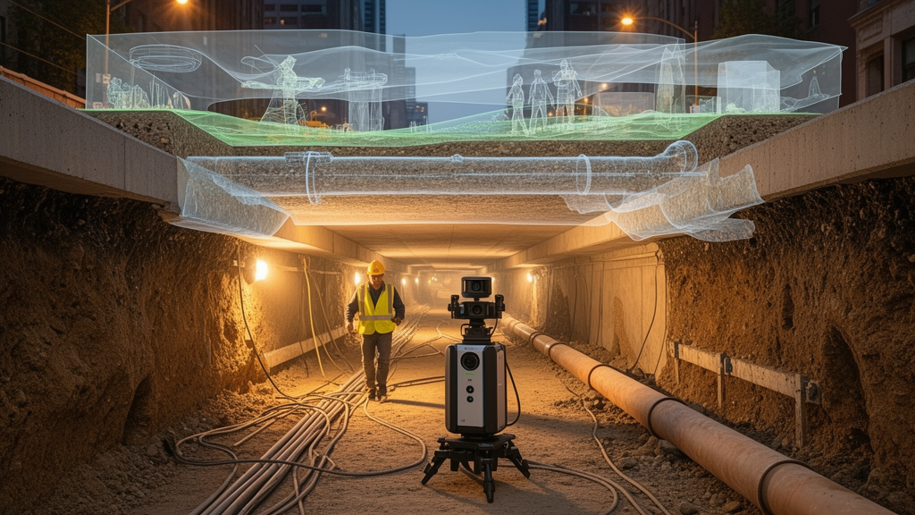
A 2026 Perspective in Frontiers in Sustainable Cities argues that cities may be expanding substantially below ground even while conventional maps show little change above it. The paper defines subsurface urban expansion as the durable growth or intensification of urban activity beneath the local ground surface through the occupation, use, or physical modification of underground space. Rather than presenting a tested intervention, the article proposes a framework for detecting this largely hidden change, combining technical and institutional evidence, and tracing responsibility for underground assets and their impacts over their full lifecycles.
The central concern is an “underground monitoring gap” created by three linked failures: cities often cannot directly observe subsurface change, relevant information is scattered across incompatible agencies and technical systems, and ownership, regulatory authority, and responsibility for resulting effects can remain unclear. Tunnels, basements, utility corridors, foundations, geothermal installations, and other underground development can add occupied volume or intensify urban functions without altering a city’s visible footprint. This creates an incomplete picture of urban growth, including cumulative effects on groundwater, subsurface temperature, ground stability, essential services, and communities that may experience disruption or unequal exposure to risk.
The proposed monitoring system treats the city as a three-dimensional system rather than a surface plan with a hidden layer. Its first analytical dimension, spatial occupation, asks what exists below ground, where it is located, and how its volume, depth, function, and use change over time. The second examines environmental interaction, including underground development’s relationships with groundwater, heat, and ground conditions. The third addresses infrastructure interdependence by tracing shared corridors, service dependencies, maintenance access, emergency access, and the possibility that a change in one buried system could create cascading risks elsewhere. The fourth asks whether responsibility can be traced to identifiable owners, operators, regulators, and other institutions, including for maintenance, emergency action, remediation, and eventual decommissioning.
Social consequences cut across all four dimensions, the paper says. A volumetric inventory may reveal that underground construction affects particular neighborhoods more severely, interrupts essential services, or limits public access to information about works and risks. Reliable monitoring therefore requires more than a spatial database: records from different sources need shared identifiers and spatial references, clear provenance, explicit uncertainty, and designated custodians who can keep them current. Under the proposed standards, an institutional indicator should not treat the mere assignment of a duty as proof that it has been fulfilled. Measurements, modeled effects, and inferred causes must also be labeled separately, particularly where several processes could produce the same surface signal.
Earth observation has a focused but limited role in the system. Interferometric synthetic aperture radar, or InSAR, and related techniques can detect ground deformation and other surface responses associated with underground activity. These signals can support initial screening, identify areas requiring investigation, and monitor possible surface impacts. They cannot, by themselves, reveal the geometry, function, or condition of most underground assets or establish what caused an observed deformation. The framework therefore combines satellite observations with boreholes, sensors, field measurements, engineering records, environmental models, asset inventories, and institutional documents. Attribution still requires technical and environmental evidence, while decisions about legal status and responsibility depend on complementary land and administrative records.
The framework also proposes “responsible visibility,” a governance mechanism for determining who should receive underground information and at what level of detail. Operators and emergency responders may need detailed operational data, while public authorities may require asset-level information for permitting and coordination. Researchers and affected communities may need enough access to conduct analysis, oversight, and response without exposing sensitive infrastructure. Public reporting can focus on broader indicators such as development, risk, compliance, and assigned responsibility. Any restriction should have a narrow justification, a defined group of authorized users, and a scheduled review, with redaction, aggregation, or controlled access used where appropriate.
“Volumetric accountability” supplies the second governance mechanism by connecting an underground asset and its effects to identifiable actors and enforceable obligations. Approval and operating records should specify duties for monitoring, maintenance, remediation, and closure, including procedures for transferring those duties when an operator or institution changes. Where obligations may persist for many years, the paper argues, financial assurance or cost-recovery arrangements can help preserve the resources needed for monitoring, remediation, or closure. Communities also need procedures through which they can obtain information, raise concerns, and seek corrective action. The framework identifies responsible actors without assuming that formal assignments are adequately funded, enforced, or completed in practice.
Operationally, the Perspective arranges these elements into a five-stage cycle. The first establishes a baseline inventory of assets, institutional records, uncertainties, and missing information, distinguishing verified facts from outdated, estimated, or incomplete records. The second maps priorities and risks by identifying intersections among underground occupation, hazards, infrastructure dependencies, and exposed populations. The third integrates evidence and assigns responsibility, linking assets to ownership, regulatory authority, environmental information, and data stewards while preserving provenance and uncertainty. The fourth establishes access classifications, disclosure practices, and safeguards. The fifth applies the evidence to decisions and periodic review, checking whether lifecycle duties, inspections, maintenance, financial assurance, decommissioning plans, and remediation obligations have been fulfilled.
The paper presents three cities as illustrative starting points rather than completed demonstrations of the system. New York City’s recent work on subway flooding, service disruption, and coastal-flood resilience could be connected to records of subway assets, drainage conditions, and institutional duties. In Lyon, records of basements and other underground structures offer an entry point for examining cumulative effects on groundwater flow, model uncertainty, and responsibility for responses. Singapore’s detailed records of underground utilities, already linked to legal rights, responsibilities, and organizational roles, could be extended with environmental conditions, infrastructure dependencies, information-access rules, and long-term accountability. These cases show how cities might begin with capabilities they already possess, although the article does not report a completed implementation or measured governance outcome in any of them.
The proposal is significant because it changes what counts as urban expansion and what cities must measure to govern it. Conventional indicators can register little change while underground occupation, environmental effects, infrastructure pressures, and public obligations continue to grow. Implementation will nevertheless vary with the quality of local records and the ability of institutions to coordinate information, and the framework has not yet been validated as a universal system. The paper argues that cities could begin with high-risk assets in transit corridors, flood-prone districts, or places experiencing subsidence or groundwater stress, then expand coverage as records, responsibilities, and update procedures improve. Comparative research would still need to test which indicators work consistently across cities and whether the approach improves the continuity and traceability of evidence and responsibility. The immediate advance is therefore conceptual and operational: it supplies a disciplined way to detect hidden urban change, combine evidence, protect sensitive information, and reduce the chance that long-term underground costs and obligations remain unresolved.
Subject of Research: Proposed framework for monitoring and governing durable growth in urban underground space.
Article Title: Seeing cities in depth: subsurface urban expansion and the case for volumetric monitoring and accountability
Article References: Gil, A. G. C. (2026). Seeing cities in depth: subsurface urban expansion and the case for volumetric monitoring and accountability. Frontiers in Sustainable Cities, 8, Article 1878583. https://doi.org/10.3389/frsc.2026.1878583
Image Credits: AI Generated
DOI: 10.3389/frsc.2026.1878583
Keywords: subsurface urban expansion, volumetric monitoring, underground space, urban governance, remote sensing, InSAR, ground deformation, groundwater, infrastructure accountability, responsible visibility, Seeing, cities
Cite Scienmag News
Courtney Benton. (October 20, 2026). Cities need volumetric monitoring as underground development expands. Scienmag. https://scienmag.com/cities-need-volumetric-monitoring-as-underground-development-expands/
Courtney Benton. "Cities need volumetric monitoring as underground development expands." Scienmag, 20 October 2026, https://scienmag.com/cities-need-volumetric-monitoring-as-underground-development-expands/. Accessed 20 October 2026.
Courtney Benton. "Cities need volumetric monitoring as underground development expands." Scienmag. October 20, 2026. https://scienmag.com/cities-need-volumetric-monitoring-as-underground-development-expands/


