


Python Tool Analyzes Continental Radar Ground Motion Time Series Across Europe
Scientists have introduced EGMS-PCA, an open-source Python application that automates the temporal analysis of continental satellite ground motion datasets across ...
Scientists have introduced EGMS-PCA, an open-source Python application that automates the temporal analysis of continental satellite ground motion datasets across ...

Researchers mapped eight decades of coastal dune excavation and filling in Uchinada Town to reveal how undocumented historical earthworks shaped ...

Researchers integrated numerical simulations, satellite radar, and field investigations to analyze ground deformation during active mining and post-closure phases at ...
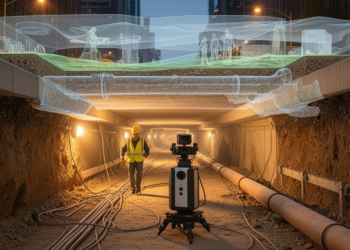
A 2026 Perspective proposes a volumetric monitoring framework to detect underground urban expansion, connect it to environmental and infrastructure evidence, ...
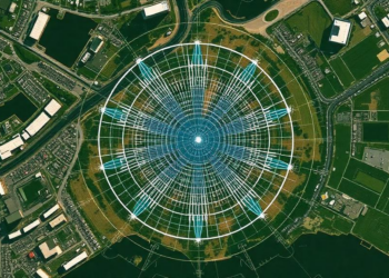
A new open-source Python tool, LiCSAR-WinFetch, makes satellite radar data acquisition reproducible and lets researchers plan multi-frame InSAR studies before ...

Researchers at Lamar University have built an automated Python-based pipeline for comparing airborne LiDAR surveys from 2006 and 2017, cutting ...

Six 1 g physical model tests show that setback distances for rectangular foundations above active normal faults range from about ...


Embark on a thrilling journey of discovery with Scienmag.com—your ultimate source for cutting-edge breakthroughs. Immerse yourself in a world where curiosity knows no limits and tomorrow’s possibilities become today’s reality!