


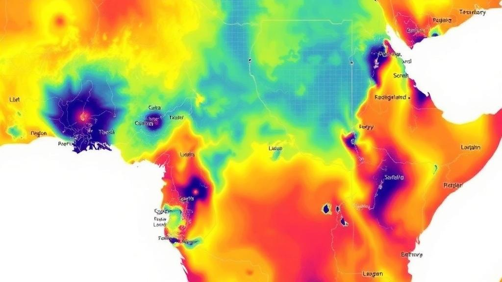
Solar energy planners in Central Africa have long faced a stubborn problem: before a single panel can be installed, someone needs to know precisely how much sunlight a given city receives on any given day. Ground-based solar measurement stations are scarce across much of sub-Saharan Africa, and the stations that do exist are unevenly distributed, leaving vast gaps in the radiation data needed to size photovoltaic arrays, design solar thermal systems, and justify renewable energy investments. A new study from the University of Yaoundé I offers a data-driven way around this obstacle, showing that machine learning models trained on nearly three decades of satellite-derived meteorology can predict daily solar irradiation across Cameroon’s strikingly diverse tropical climate zones with useful accuracy.
The research, published in the journal Discover Sustainability by Wilson Nathan Ndackssi and Modeste Kameni Nematchoua, focused on five Cameroonian cities chosen deliberately to span the country’s climatic spectrum: Bertoua, Douala, Garoua, Maroua, and Yaoundé. This geographic spread matters more than it might first appear. Douala sits on the humid Atlantic coast under persistent cloud cover, while Maroua and Garoua lie in the far north, where the Sahelian climate delivers intense, seasonally concentrated sunshine. Yaoundé and Bertoua occupy intermediate equatorial and tropical humid regimes. A model that performs well across all five sites is therefore tested against the full range of atmospheric conditions a solar engineer is likely to encounter in the region, from coastal haze to dry-season dust.
To train and evaluate their models, the researchers drew on NASA’s POWER database, a publicly accessible archive of meteorological and solar radiation variables derived from satellite observations. The dataset covered 27 years, from 1999 to 2026, giving the algorithms a long enough record to capture seasonal cycles, interannual variability, and the influence of climate phenomena on surface radiation. Eight input variables fed the models: mean air temperature, relative humidity, precipitation, wind speed, wind direction, atmospheric pressure, cloud cover, and the day of the year. The inclusion of cloud cover proved particularly significant, since clouds are the dominant modulator of surface solar radiation in the tropics, capable of cutting daily irradiation by more than half during peak wet seasons.
Four machine learning algorithms were put head to head: Linear Regression, Decision Tree, Random Forest, and Support Vector Machine. Each approach embodies a different philosophy of prediction. Linear Regression assumes a straightforward weighted relationship between the meteorological inputs and irradiation, offering transparency but limited flexibility. A Decision Tree partitions the input space through a cascade of binary questions, capturing nonlinear thresholds such as the sharp radiation drop when cloud cover crosses a certain fraction. The Random Forest builds hundreds of Decision Trees on random subsets of the data and averages their outputs, a technique known as ensemble learning that suppresses the overfitting to which single trees are prone. The Support Vector Machine, meanwhile, constructs a decision boundary in a high-dimensional transformed feature space, allowing it to model complex nonlinear relationships without explicitly enumerating them.
The models were evaluated with three standard statistical indicators: the mean absolute error (MAE), which measures the average size of prediction errors in plain units; the root mean square error (RMSE), which penalizes large errors more heavily; and the coefficient of determination (R²), which quantifies the fraction of variance in observed irradiation that the model explains. Across all five cities and all four algorithms, RMSE values ranged from 0.58 to 0.77 kWh/m², MAE values from 0.40 to 0.59 kWh/m², and R² values from 0.52 to 0.69. In practical terms, the best models predicted daily irradiation to within roughly half a kilowatt-hour per square meter on average, a margin meaningful for feasibility studies though not yet tight enough for minute-by-minute grid dispatch.
The ranking of the algorithms was consistent in every city. Random Forest achieved the best predictive performance everywhere, followed by the Support Vector Machine, then the Decision Tree, with Linear Regression trailing last. This ordering tells a coherent story about the physics of the problem. Solar irradiation in the tropics is governed by nonlinear interactions among cloud dynamics, humidity, temperature, and season, and the ensemble averaging of Random Forest is well suited to capturing those interactions while remaining robust to noisy or imperfect inputs. The comparatively modest R² values also signal honest limitations: even the best model explains only about two-thirds of the day-to-day variance, reflecting the inherent chaos of tropical cloud systems and the resolution limits of satellite-derived predictors.
The authors are candid about these constraints, and the study’s title itself foregrounds evidence and limitations alongside its results. The reliance on NASA POWER data means the models inherit the biases of satellite retrieval rather than ground truth, and the researchers note that comparable studies in Cameroon remain few relative to the extensive literature from Asia, Europe, and North Africa. Their work distinguishes itself, they argue, through its complementary geographic coverage, the inclusion of the Support Vector Machine among the tested algorithms, and an in-depth treatment of predictive meteorological variables, cloud cover in particular. The findings position Random Forest as the most suitable algorithm for predicting global daily solar irradiation in Cameroon, and as a preliminary screening tool for assessing solar energy resources across Central Africa.
Why does this matter beyond the modeling community? Cameroon’s solar resources remain largely untapped, even as the country’s electricity demand grows and hydropower, its dominant generation source, becomes vulnerable to increasingly erratic rainfall. Reliable irradiation prediction underpins nearly every stage of solar deployment: it determines the expected energy yield that investors demand before financing a plant, the sizing of battery storage in off-grid systems, and the design of hybrid solar-diesel microgrids for rural communities. A validated, low-cost prediction tool that requires only freely available satellite meteorology could dramatically lower the barrier to preliminary solar resource assessment in a region where installing and maintaining pyranometers, the instruments that measure radiation directly, is often impractical.
The study also carries a broader message for the machine learning and renewable energy communities. Ensemble methods like Random Forest are computationally cheap, interpretable through feature-importance analysis, and trainable on public data, making them realistic options for national energy agencies and small research groups in developing economies, not just well-funded laboratories. At the same time, the moderate R² values are a reminder that prediction is not a substitute for measurement: as solar penetration deepens, ground-truthing campaigns and denser observation networks will be essential to refine the models and to capture local effects that satellites smooth over. The researchers suggest their framework can serve as a first-pass selection tool, with the potential to enrich the scientific literature on solar irradiation modeling in Central Africa, a region notably underrepresented in the global solar forecasting literature.
For a country straddling the equator, the sun is Cameroon’s most dependable energy asset, and the gap between that potential and its exploitation has been shaped as much by information scarcity as by infrastructure. What this study demonstrates is that the information gap is closable with tools already within reach: 27 years of open satellite data, eight meteorological variables, and a forest of decision trees. If the approach is validated further with ground measurements and extended to finer temporal and spatial scales, the same methodology could be replicated across neighboring Central African nations, turning machine learning from a laboratory curiosity into a practical instrument of energy planning for the tropics.
Subject of Research: Machine learning prediction of daily global solar irradiation in the tropical climate zones of Cameroon for renewable energy planning
Article Title: Evidence, limitations and implications for renewable energy planning of daily global solar irradiation in tropical climate zones of Cameroon, predicted by machine learning
Article References: Ndackssi, W. N., & Kameni Nematchoua, M. (2026). Evidence, limitations and implications for renewable energy planning of daily global solar irradiation in tropical climate zones of Cameroon, predicted by machine learning. Discover Sustainability. https://doi.org/10.1007/s43621-026-04807-0
Image Credits: AI Generated
DOI: 10.1007/s43621-026-04807-0
Keywords: solar irradiation, machine learning, Random Forest, Cameroon, renewable energy, NASA POWER database, Support Vector Machine, tropical climate, solar energy planning, Discover Sustainability, cloud cover, Central Africa
Cite Scienmag News
Teresa Odom. (October 19, 2026). Machine Learning Maps Cameroon’s Untapped Solar Power Potential Across Tropical Climate Zones. Scienmag. https://scienmag.com/machine-learning-maps-cameroons-untapped-solar-power-potential-across-tropical-climate-zones/
Teresa Odom. "Machine Learning Maps Cameroon’s Untapped Solar Power Potential Across Tropical Climate Zones." Scienmag, 19 October 2026, https://scienmag.com/machine-learning-maps-cameroons-untapped-solar-power-potential-across-tropical-climate-zones/. Accessed 19 October 2026.
Teresa Odom. "Machine Learning Maps Cameroon’s Untapped Solar Power Potential Across Tropical Climate Zones." Scienmag. October 19, 2026. https://scienmag.com/machine-learning-maps-cameroons-untapped-solar-power-potential-across-tropical-climate-zones/


