


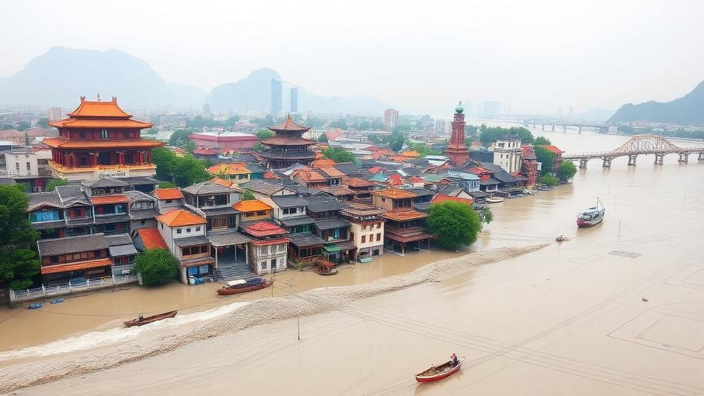
China’s river basins hold some of the densest concentrations of historic architecture on Earth, from timber ancestral halls to masonry temples that have stood for centuries beside winding waterways. As extreme precipitation events grow more frequent and more intense under a changing climate, the question of which of these structures face the greatest danger from flooding has become urgent. Yet most heritage risk studies have focused on individual buildings or single cities, leaving a glaring gap: no systematic, basin-wide picture of where flood risk to historic buildings is concentrated and why. A new study published in npj Heritage Science takes on exactly that challenge, mapping flood risk for 5,482 historic buildings across the Minjiang River Basin and revealing patterns that upend some common assumptions about where heritage is safest.
The research, led by Li Sun and colleagues at Beijing University of Civil Engineering and Architecture, integrates three complementary methodological strands: hydrological simulation, machine learning, and spatial statistics. The team employed the SCS-CN model, a widely used rainfall-runoff framework developed by the United States Soil Conservation Service, to simulate how precipitation is converted into surface runoff across the basin’s varied landscapes. The model’s core logic hinges on a curve number, a parameter that captures how readily land produces runoff depending on soil type, land cover, and antecedent moisture. Paved, compacted, or otherwise impervious surfaces generate far more runoff than forested slopes, and the SCS-CN approach translates those differences into spatially explicit estimates of flood hazard for every corner of the basin.
On top of that hydrological foundation, the researchers deployed XGBoost, a gradient-boosted decision tree algorithm prized for its ability to capture complex, nonlinear relationships among many environmental variables. Flood risk is rarely the product of a single factor in isolation; instead, rainfall depth, elevation, slope, drainage density, vegetation cover, and the extent of impervious surfaces interact in ways that traditional linear models struggle to represent. XGBoost excels at learning these multi-factor couplings from data, but its predictions can be opaque. To open the black box, the team applied SHAP, or SHapley Additive exPlanations, a technique borrowed from cooperative game theory that quantifies each variable’s contribution to every individual prediction. The result is a risk model that is not only accurate but interpretable, revealing exactly how and where each driver pushes risk up or down for the historic buildings in question.
The third pillar of the framework is spatial autocorrelation analysis, a family of statistical methods that tests whether high or low risk values cluster geographically more than random chance would predict. This matters because heritage protection decisions are inherently spatial: resources for flood defenses, drainage improvements, and emergency planning must be allocated to places, and knowing that risk concentrates in identifiable hotspots is far more actionable than a list of individual buildings. By combining hazard, the probability and severity of flooding, with vulnerability, the susceptibility of buildings and their settings to damage, the researchers produced an integrated risk assessment for every one of the 5,482 historic structures in the dataset.
The findings paint a strikingly patterned picture of heritage flood risk across the Minjiang River Basin. Flood hazard, the team found, decreases from downstream to upstream, forming belt-like aggregations that trace the river network itself. This geometry makes intuitive sense once the underlying hydrology is considered: downstream reaches accumulate runoff from the entire upstream catchment, water levels rise higher, and floodplains widen, so the hazard envelope hugs the main channels most heavily in the lower basin. Historic buildings sited along these lowland waterways, often deliberately, since rivers were the arteries of trade and settlement, therefore sit squarely within the zones of greatest hydraulic exposure.
Vulnerability, however, tells the opposite story. The study reveals a spatial mismatch: vulnerability is higher upstream and lower downstream. That inversion matters because risk is not simply hazard; it is the product of how likely a flood is and how much damage it can do. A modest flood striking fragile, poorly protected upstream structures may cause more harm than a larger flood reaching resilient downstream buildings. The mismatch means that hazard maps alone, however sophisticated, cannot guide heritage protection. Planners who prioritized only downstream floodplains would leave the vulnerable upstream clusters, where steep terrain, constrained evacuation routes, and building characteristics may amplify damage, comparatively unguarded.
When hazard and vulnerability are integrated, the resulting risk map follows a southeast-high to northwest-low gradient across the basin, with strong clustering in the estuarine zone and the midstream valleys. These hotspots are precisely where high hydraulic exposure coincides with concentrations of vulnerable historic fabric, making them the natural focal points for intervention. The spatial autocorrelation analysis confirms that these high-risk zones are statistically significant clusters rather than scattered accidents of individual building locations, which strengthens the case for basin-scale, coordinated management rather than building-by-building measures.
Perhaps the most technically interesting contribution lies in what the SHAP analysis uncovered about the drivers of risk. Key factors including impervious surfaces, vegetation cover, and topography exhibit significant nonlinear threshold effects, meaning their influence on flood risk does not increase smoothly but jumps once certain critical values are crossed. Below a threshold of impervious cover, additional paving may contribute only modestly to runoff generation; beyond it, the landscape’s hydrological response can shift abruptly, sharply elevating flood hazard downstream. Vegetation cover operates in the opposite direction, buffering risk, but its protective effect also shows threshold behavior, so incremental loss of canopy in already degraded areas may trigger disproportionate increases in exposure. These nonlinearities are exactly the kind of relationships that linear risk indices miss and that interpretable machine learning is uniquely positioned to reveal.
The study also emphasizes multi-factor coupling, the observation that risk drivers interact rather than act independently. Topography shapes where water collects, but the severity of inundation in any given valley depends on how much of the upstream surface is sealed by development and how much remains vegetated. A steep, forested headwater may shed water quickly yet harmlessly, while the same slope cleared and paved becomes a runoff engine. Understanding these couplings is essential for anticipating how future land-use change and urbanization, layered on top of intensifying rainfall, could redraw the basin’s heritage risk map in ways that static assessments would never foresee.
Beyond its specific findings for the Minjiang, the framework carries broader implications for heritage science and disaster resilience worldwide. River basins across monsoon Asia, and indeed across the globe, host historic buildings whose survival increasingly depends on anticipating climate-driven flood extremes. The study’s combination of physically grounded hydrological simulation, accurate yet interpretable machine learning, and rigorous spatial statistics offers a transferable template: it delivers basin-scale coverage, respects the nonlinear reality of flood mechanisms, and produces outputs that heritage managers can act on directly, from prioritizing estuarine and midstream clusters for protective works to targeting upstream vulnerability reduction. For the thousands of historic buildings lining the Minjiang’s waters, and for countless others in similar basins, the message is clear: effective protection begins with knowing precisely where risk lives, and why.
Subject of Research: Flood risk assessment of historic buildings in the Minjiang River Basin using hydrological simulation, machine learning and spatial analysis
Article Title: Spatial identification and assessment of flood risk for historic buildings in the Minjiang River Basin
Article References: Sun, L., Wang, S., Hu, W., Yun, X., Deng, Q., Zeng, S., Wang, M., & Yang, Z. (2026). Spatial identification and assessment of flood risk for historic buildings in the Minjiang River Basin. npj Heritage Science. https://doi.org/10.1038/s40494-026-03047-9
Image Credits: AI Generated
DOI: 10.1038/s40494-026-03047-9
Keywords: flood risk, historic buildings, heritage science, Minjiang River Basin, SCS-CN model, XGBoost, SHAP, spatial autocorrelation, vulnerability, machine learning, cultural heritage, disaster resilience
Cite Scienmag News
Violet Maxwell. (October 19, 2026). Mapping Flood Danger to Thousands of Historic Buildings Along a Chinese River Basin. Scienmag. https://scienmag.com/mapping-flood-danger-to-thousands-of-historic-buildings-along-a-chinese-river-basin/
Violet Maxwell. "Mapping Flood Danger to Thousands of Historic Buildings Along a Chinese River Basin." Scienmag, 19 October 2026, https://scienmag.com/mapping-flood-danger-to-thousands-of-historic-buildings-along-a-chinese-river-basin/. Accessed 19 October 2026.
Violet Maxwell. "Mapping Flood Danger to Thousands of Historic Buildings Along a Chinese River Basin." Scienmag. October 19, 2026. https://scienmag.com/mapping-flood-danger-to-thousands-of-historic-buildings-along-a-chinese-river-basin/


