


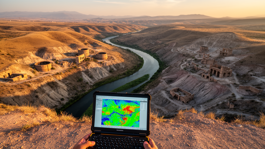
In the hills of central Mexico, the Guanajuato Mining District produced so much silver during the eighteenth century that it helped bankroll an empire. Five hundred years of relentless extraction also left behind something less celebrated: vast deposits of finely ground mine waste, laced with arsenic, cadmium, lead, and zinc, scattered across a river basin whose bedrock was already naturally enriched with the very same elements. Now, a team of Mexican geochemists has combined classical statistics with machine learning to untangle this geochemical knot, and their findings reveal a surprising truth about how mining pollution should be interpreted in naturally mineralized landscapes.
The research, published in Frontiers in Geochemistry, analyzed 71 samples spanning nearly every environmental compartment of the Guanajuato River Basin: bedrock, mine tailings, soils, stream sediments, ancient overbank sediments, surface water, and groundwater. The goal was ambitious. Rather than simply measuring how much arsenic or lead was present, the team wanted to determine where those elements came from, whether from the hydrothermal mineralization that formed the district’s famous silver veins, or from the centuries of mining that exploited them. This distinction matters enormously, because elevated concentrations of toxic elements alone cannot discriminate between natural geological enrichment and human contamination, particularly in terrain where both share a common origin.
The study area is geochemically extraordinary. The Guanajuato Mining District hosts low-sulfidation epithermal silver-gold vein systems controlled by the Veta Madre fault zone, a structure that geologists have described as a fossil geothermal system. Hydrothermal activity generated mineral assemblages enriched in silver, gold, lead, zinc, copper, arsenic, antimony, and mercury. In other words, the basin’s rocks were naturally loaded with potentially toxic elements long before the first shovel struck ore. Historical records indicate that Guanajuato was a premier silver-producing region during the eighteenth century, generating substantial volumes of mining waste and profoundly altering the basin’s fluvial architecture. The legacy tailings were derived directly from the same hydrothermal mineralization that naturally enriches the bedrock, creating substantial overlap between natural and mining-related geochemical signatures.
To disentangle these overlapping signals, the researchers deployed a two-pronged analytical strategy. First, they applied multivariate statistics, including Spearman rank correlation, principal component analysis, and hierarchical cluster analysis, to identify elemental associations across the solid and aqueous matrices. Second, they trained an exploratory Random Forest classifier, a machine learning algorithm that builds hundreds of decision trees, using bedrock samples as a geogenic reference class and mine tailings samples as a mining-related reference class. The model achieved an out-of-bag error of 0.12, meaning it correctly classified about 88 percent of training samples it had not seen during model fitting. The researchers then applied the trained model to soils, stream sediments, and overbank sediments to estimate their relative geochemical affinity to each reference class.
The multivariate statistics revealed two principal geochemical associations in the solid samples. The first, comprising aluminum, iron, chromium, vanadium, and nickel, showed strong positive correlations and was interpreted as geogenic, reflecting the natural composition of the basin’s mafic-ultramafic and volcano-sedimentary lithologies. The second association, involving sulfur, arsenic, cadmium, lead, copper, and zinc, was interpreted as mineralized and mining-related. The Random Forest analysis identified sulfur, cadmium, and arsenic as the leading predictors for discriminating between the two reference classes. At the matrix level, median affinity scores for overbank sediments and soils shifted toward the geogenic reference class at 61 and 63 percent respectively, while stream sediments occupied an intermediate position with nearly equal median scores of 49 percent geogenic and 51 percent mining-related affinity.
This intermediate position of stream sediments is geochemically telling. It suggests that modern stream sediments integrate both natural and mining-derived materials, reflecting the long-term influence of weathering, erosion, and sediment transport processes operating throughout the basin. Historical records indicate that large volumes of finely ground wastes were deposited in tailings piles or discharged directly into drainage channels during ore processing. Because these materials are more susceptible to weathering and erosion than the original bedrock, they serve as an efficient mechanism for the downstream redistribution of metal(loid)s and contribute to the persistence of mining-related signatures in modern sediments. Spatially, stream sediment samples located near the historical mining district generally showed lower median geogenic affinity scores and coincided with higher values of a standardized sulfur-plus-cadmium-plus-arsenic index, while elevated index values also occurred at some downstream locations, indicating that this geochemical signature was not restricted to the immediate vicinity of historical tailings deposits.
Perhaps the most striking finding concerns what the preindustrial overbank sediments reveal. These samples were obtained from a roughly two-meter-high floodplain terrace previously dated to pre-industrial depositional periods ranging from 2450 to 9410 years before present. Their concentrations of arsenic, cadmium, copper, and zinc demonstrate that weathering of naturally mineralized lithologies supplied trace elements to the fluvial system long before the onset of intensive mining. The authors conclude that historical mining has amplified and redistributed preexisting hydrothermal geochemical signatures rather than introducing entirely new elemental assemblages. This is a crucial insight for environmental management in naturally mineralized basins worldwide, where elevated elemental concentrations may be misclassified as contamination when they actually reflect geological inheritance.
The water chemistry told a different story. Bicarbonate-type waters dominate the basin, but groundwater is enriched in sodium, silicon, fluoride, arsenic, and zinc, whereas surface waters exhibit higher overall mineralization with calcium-magnesium-sulfate signatures. Most dissolved metal(loid) concentrations remained below the analytical limit of quantification in both surface and groundwater, a contrast the researchers attribute to the carbonate-rich composition of Guanajuato mine tailings, which buffers acidity and limits acid mine drainage generation, favoring metal(loid) retention through interactions with iron-manganese oxyhydroxides and carbonate phases. Arsenic represents an important exception because its mobility may increase under circumneutral to alkaline conditions through desorption from mineral surfaces, making it one of the few elements occurring at measurable dissolved concentrations while also showing enrichment in solid matrices.
The risk assessment revealed spatially heterogeneous environmental concerns. Ecological risk was highest in mine tailings, driven primarily by elevated arsenic, cadmium, and copper, with two specific tailings deposits classified as moderate ecological risk while the remaining deposits were classified as low risk. Water quality and human health risks were restricted to localized groundwater and downstream surface water sites. Among surface waters, particularly high pollution index values coincided with elevated manganese concentrations, whereas high index values in groundwater coincided with arsenic concentrations exceeding drinking-water guideline values. For groundwater samples with quantified arsenic, carcinogenic risk estimates exceeded the upper acceptable level of 1.0E-04, with the highest values observed in two specific production wells. The authors emphasize that these estimates indicate potential carcinogenic concern under the evaluated long-term exposure scenario but require careful interpretation given the high proportion of arsenic measurements below the quantification limit.
The researchers are transparent about the limitations of their approach. The Random Forest model was trained on a limited dataset of only 12 lithological and 13 mine tailings samples, making the findings exploratory rather than definitive. Variable importance measures based on mean decrease in impurity may be biased when predictors are highly correlated, and the Random Forest is primarily a predictive classification algorithm rather than a mechanistic source-apportionment model. Water sampling was restricted to the dry season, so the hydrochemical patterns represent low-flow conditions and may not capture seasonal variations in metal(loid) mobility. Nevertheless, the integrated evaluation of multiple environmental matrices provides a screening framework for interpreting mining-related impacts in naturally mineralized basins, identifying priority areas for continued monitoring, particularly specific groundwater sites and tailings deposits with elevated ecological risk. For a basin shaped by five centuries of mining, the message is clear: the past is not buried, it is flowing downstream, one sediment particle at a time.
Subject of Research: Geochemical connectivity among mine tailings, soils, sediments, and waters in a historical mining basin integrating multivariate statistics and exploratory random forest modeling
Article Title: Geochemical connectivity among mine tailings, soils, sediments, and waters in a historical mining basin integrating multivariate statistics and exploratory random forest modeling
Article References: Rueda-Garzon, L. F., Carrillo-Chávez, A., Miranda-Avilés, R., Calvo-Ramos, D., Morales-Martínez, J. L., Muñoz-Torres, C., & García-Martínez, R. (2026). Geochemical connectivity among mine tailings, soils, sediments, and waters in a historical mining basin integrating multivariate statistics and exploratory random forest modeling. Frontiers in Geochemistry, 4, Article 1919883. https://doi.org/10.3389/fgeoc.2026.1919883
Image Credits: AI Generated
DOI: 10.3389/fgeoc.2026.1919883
Keywords: geochemistry, mining, machine learning, arsenic, Guanajuato, random forest, environmental risk, source apportionment, Geochemical, connectivity, mine, tailings
Cite Scienmag News
Teresa Odom. (October 16, 2026). Machine Learning Traces 500 Years of Mining Legacy in Mexico’s Guanajuato River Basin. Scienmag. https://scienmag.com/machine-learning-traces-500-years-of-mining-legacy-in-mexicos-guanajuato-river-basin/
Teresa Odom. "Machine Learning Traces 500 Years of Mining Legacy in Mexico’s Guanajuato River Basin." Scienmag, 16 October 2026, https://scienmag.com/machine-learning-traces-500-years-of-mining-legacy-in-mexicos-guanajuato-river-basin/. Accessed 16 October 2026.
Teresa Odom. "Machine Learning Traces 500 Years of Mining Legacy in Mexico’s Guanajuato River Basin." Scienmag. October 16, 2026. https://scienmag.com/machine-learning-traces-500-years-of-mining-legacy-in-mexicos-guanajuato-river-basin/


