


When Storm Harry swept across the Mediterranean between 18 and 21 January 2026, it left behind a trail of destruction that underscored how vulnerable the region remains to extreme weather. Rainfall exceeded 300 millimetres at 23 monitoring locations over just three days, with eight of those sites recording more than 400 millimetres. The highest total, 482.5 millimetres, fell in eastern Sicily. On land, the storm triggered heavy landslides, including a major event in Niscemi, Sicily, that destroyed homes and forced roughly 1,500 people to evacuate. At sea, the human toll was even graver, with hundreds of migrants estimated to have died while attempting to cross the Mediterranean during the event. Now, a new study published in the Quarterly Journal of the Royal Meteorological Society offers the first assessment of how a fleet of unassuming drifting buoys helped forecasters see this dangerous storm coming.
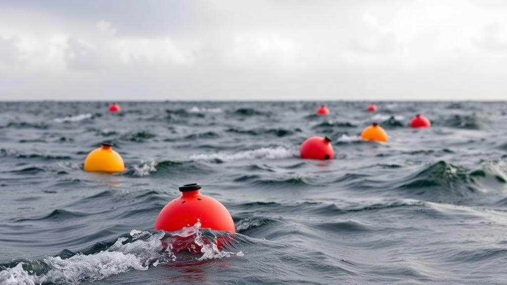
The research forms part of the Mediterranean Extreme Events Experiment, known as M3E, an international initiative co-coordinated by OGS, the Istituto Nazionale di Oceanografia e di Geofisica Sperimentale, and the CMCC Foundation, the Euro-Mediterranean Center on Climate Change. The experiment combines targeted in-situ observations with numerical modelling to improve forecasts of extreme weather and to deepen scientific understanding of ocean–atmosphere interactions during storms. Its central tool is deceptively simple: drifting buoys equipped with barometers and sea surface temperature sensors, deployed across parts of the Mediterranean where conventional atmospheric measurements have long been scarce. The instruments transmit their readings in near real time, making them available to operational forecasting systems where they can be assimilated into numerical weather prediction models.
The motivation for filling this observational gap is rooted in the Mediterranean’s peculiar geography and meteorology. The sea is relatively small, yet it is capable of generating extraordinarily powerful storms, including small, rapidly evolving low-pressure systems that are notoriously difficult to capture accurately in forecast models. Emanuela Clementi, senior scientist at CMCC and co-author of the study, emphasised the importance of collecting observations directly at sea, noting that the Ionian Sea and the central Mediterranean have historically had limited coverage of in-situ atmospheric measurements despite being areas where intense storms and persistent cyclones can develop. Without measurements from these waters, forecast models must rely on sparse data, satellite retrievals and assumptions, leaving room for significant errors in the initial conditions from which predictions are generated.
The study’s findings demonstrate that atmospheric pressure observations from the M3E buoys had a beneficial impact on forecasts during Storm Harry. In particular, data from a buoy positioned in the Ionian Sea contributed to improving the representation of atmospheric circulation as the storm crossed the region. This matters because numerical weather prediction is fundamentally an initial-value problem: the model’s forecast evolves from a snapshot of the current state of the atmosphere, and even small errors in that snapshot can grow rapidly, especially in the presence of unstable, fast-developing weather systems. Pressure measurements from the surface of a data-sparse sea directly constrain that snapshot where it is weakest.
To quantify the value of the buoy network, the researchers conducted an additional experiment comparing forecasts that included the available Mediterranean drifting-buoy observations with forecasts in which those observations were deliberately withheld. This observational denial approach is a standard technique in forecast sensitivity studies, allowing scientists to isolate the contribution of a particular data stream. The results revealed significant differences in forecast sea-level pressure near the Balearic Islands, close to the small low-pressure systems associated with the storm. In other words, removing the buoy data degraded the model’s depiction of the very features that made Storm Harry dangerous, providing concrete evidence that the network improves forecasts precisely where it matters most.
The forecasting performance during the event was mixed in instructive ways. Forecasts produced by the European Centre for Medium-Range Weather Forecasts, ECMWF, successfully predicted the heavy rainfall in southern Italy approximately seven days ahead of the event, a remarkable lead time for an extreme precipitation event. However, forecasting precipitation over North Africa proved considerably more challenging, partly because of the small, rapidly evolving low-pressure systems that are difficult to represent accurately in models. This asymmetry highlights a persistent challenge in Mediterranean meteorology: mesoscale systems that develop quickly over warm waters can slip through the observational and modelling net, and their impacts can be severe for coastal communities on the southern shores of the basin.
The implications extend beyond atmospheric forecasting alone. CMCC contributes to M3E through its coordination role and its expertise in ocean forecasting, cyclone dynamics, extreme precipitation and observational systems. The atmospheric forecasts produced by ECMWF provide essential forcing conditions for the CMCC Mediterranean Forecasting System, MedFS, which operates within the Copernicus Marine Service. Clementi described the connection as a natural one for CMCC, explaining that a better atmospheric forecast also means a better forecast of the sea. During extreme storms, accurate wind and pressure fields drive wave height, storm surge and currents, all of which matter for maritime safety, coastal protection and emergency response.
Because observations are essential for understanding and forecasting these processes, CMCC also contributes directly to expanding the observational network by providing and deploying additional drifting buoys, including in the Tyrrhenian Sea, to improve spatial coverage across the Mediterranean. The effort is not purely operational. The buoy observations offer an opportunity to better understand how the ocean and atmosphere interact during extreme storms, a scientific question with implications for how Mediterranean cyclogenesis is represented in models. By bringing together in-situ observations, weather forecasting and ocean modelling, M3E promotes an integrated approach supported by a partnership of European and US institutions and endorsed by the World Weather Research Programme, WWRP.
The research identifies small-scale low-pressure systems as a priority for future observational campaigns. Better coverage of these features, the authors argue, could help reduce forecast uncertainty and improve understanding of the local impacts of Mediterranean storms. This is a significant conclusion for the region, where compact but intense systems can deliver destructive rainfall and winds to limited areas with little warning. The Mediterranean’s vulnerability is compounded by its dense coastal population, its role as a migration corridor and its exposure to landslides and flooding in steep terrain, all of which were evident in the impacts of Storm Harry.
Building on these initial results, plans are already underway to expand the observing network from autumn 2026. Seven drifting buoys acquired by CMCC are set to be deployed in the Tyrrhenian Sea, alongside additional deployments in the Ionian Sea, strengthening coverage in areas where improved data are particularly important for forecasting extreme events. For a sea that can generate very powerful storms while the countries around it pay a high price, as Clementi put it, the message from Storm Harry is clear: filling the observational gap exactly where these storms form is one of the most direct paths to earlier, more reliable warnings, and the first evidence that the buoy data deliver on that promise has now been formally established.
Subject of Research: Impact of drifting buoy atmospheric observations on forecasts of the Mediterranean storm Harry in January 2026
Article Title: Storm Harry: Drifting buoys help improve early forecasts of extreme events in the Mediterranean Sea
Article References: Storm Harry: Drifting buoys help improve early forecasts of extreme events in the Mediterranean Sea. (n.d.). Original publication
Image Credits: AI Generated
DOI: Not provided
Keywords: Storm Harry, Mediterranean Sea, drifting buoys, M3E experiment, weather forecasting, CMCC, OGS, ECMWF, data assimilation, extreme precipitation, low-pressure systems, Quarterly Journal of the Royal Meteorological Society
Cite Scienmag News
Violet Maxwell. (October 14, 2026). Drifting Buoys Sharpen Early Warnings for Deadly Mediterranean Storms. Scienmag. https://scienmag.com/drifting-buoys-sharpen-early-warnings-for-deadly-mediterranean-storms/
Violet Maxwell. "Drifting Buoys Sharpen Early Warnings for Deadly Mediterranean Storms." Scienmag, 14 October 2026, https://scienmag.com/drifting-buoys-sharpen-early-warnings-for-deadly-mediterranean-storms/. Accessed 14 October 2026.
Violet Maxwell. "Drifting Buoys Sharpen Early Warnings for Deadly Mediterranean Storms." Scienmag. October 14, 2026. https://scienmag.com/drifting-buoys-sharpen-early-warnings-for-deadly-mediterranean-storms/


