


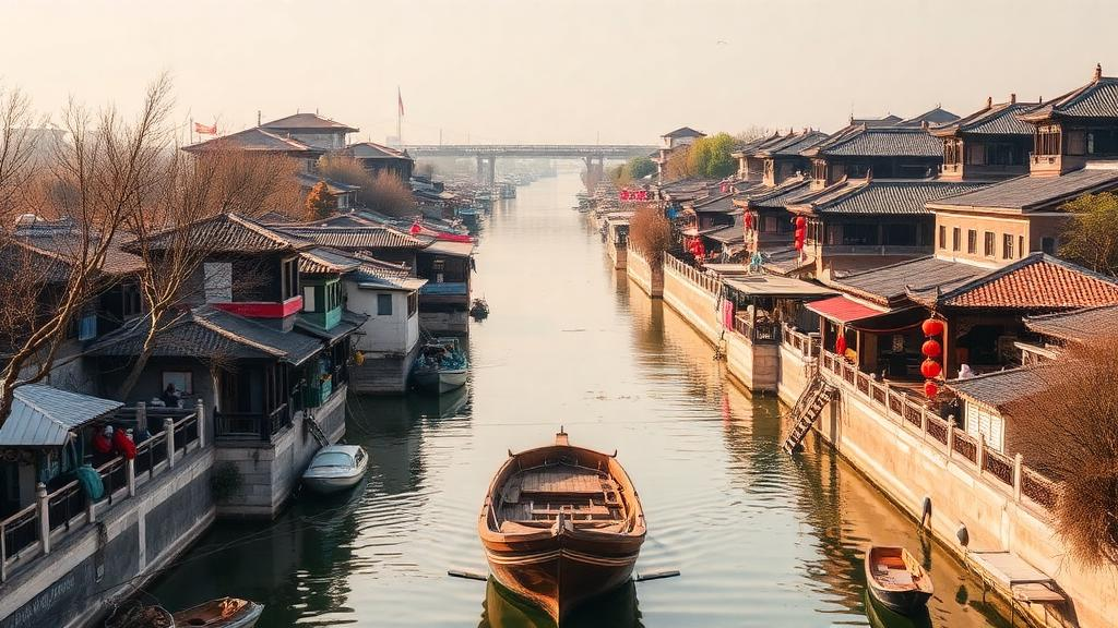
For more than a thousand years, the Jiangnan Canal has threaded its way across one of the most densely urbanized landscapes on Earth, linking the great cities of the Yangtze River delta into a single economic and cultural organism. Historians have long argued that the waterway shaped where towns grew, which ones flourished, and which ones faded into obscurity. What has been missing is a rigorous, quantitative picture of how that urban system actually organized itself in space and how its internal structure changed across centuries of dynastic upheaval, trade expansion, and technological change. A new study published in npj Heritage Science by Siqi Gao, Jiaqi Liu, and Xiwei Xu of Tianjin University, with Gao also affiliated with the China University of Mining and Technology, now supplies exactly that picture, using the tools of network science to reconstruct the evolving skeleton of a canal-borne civilization.
The research team confronted a problem that has dogged heritage scholarship for decades: the spatial organization of cities within canal regions has remained insufficiently examined, even as interest in linear cultural heritage has surged worldwide. Traditional approaches to canal history tend to focus on individual cities or on narrative accounts of commerce and administration, leaving the connective tissue between settlements largely untheorized. Gao and colleagues argue that a canal is best understood not as a line on a map but as a network engine, a piece of infrastructure that generates measurable relationships between the places it touches. By modeling those relationships explicitly, the researchers could ask questions that narrative history alone cannot answer: Which cities acted as hubs? How concentrated was the system along the trunk waterway? And did the balance of power among urban clusters shift over time?
The methodological core of the study is a gravity-model-based reconstruction of historical urban networks. Gravity models, borrowed originally from physics and long used in transportation and economic geography, estimate the strength of interaction between two places as a function of their size and their separation. In this application, the team built such models for successive historical periods in the Jiangnan Canal area, generating weighted networks in which nodes represent cities and edges represent the modeled strength of connection between them. These constructed networks were then subjected to formal network analysis, a family of quantitative techniques that measures properties such as centrality, clustering, and brokerage. The result is a series of structural snapshots that can be compared across time, revealing patterns of continuity and change in the regional urban system.
Crucially, the authors did not treat the model outputs as self-explanatory. They interpreted the evolving network structures against the backdrop of documented historical and geographical context, using the archival record to discuss the canal’s potential role in driving regional urban-system change. This combination of computational modeling and contextual historical reasoning is what gives the study its evidentiary weight. The networks provide the pattern; the historical record supplies the plausible mechanisms. Neither alone would be sufficient, and the researchers are careful to frame the canal’s influence as a potential driver to be weighed against other forces rather than a deterministic cause imposed from above.
The first major finding concerns the long-term geography of the system. Across the entire period examined, the overall urban network remained concentrated along the canal trunk, confirming quantitatively what qualitative scholarship has long suggested: the waterway was the spine of regional organization, and urban development clung to it with remarkable persistence. Yet the analysis also detected a gradual west-to-east shift in the network’s center of gravity. This directional drift captures, in a single structural trend, the changing economic geography of the Jiangnan region, and it demonstrates that even a system as apparently stable as a canal corridor was capable of substantial internal reorganization over the centuries.
The second finding sharpens the picture further. The urban clusters situated in the canal’s middle reaches consistently remained the principal connectivity hubs of the network, radiating influence outward to other clusters. In network terms, these middle-reach cities occupied positions of high centrality, sitting at the junction of flows that linked upstream and downstream segments of the system. Their dominance was not a fleeting artifact of one period but a durable structural feature, suggesting that the middle section of the canal offered an unbeatable combination of access and reach. For the cities lucky enough to occupy that zone, the network position itself became a form of capital, compounding their advantages as trade, administration, and information passed through their streets.
The third finding is perhaps the most subtle and the most revealing. The researchers examined brokerage roles, the positions occupied by nodes that mediate connections between otherwise disconnected parts of the network. In the northern canal section, these brokerage functions became increasingly shared over time between trunk nodes and branch nodes, meaning that smaller settlements connected to the canal by secondary waterways gradually took on mediating roles once monopolized by the main-line cities. In the middle and southern sections, by contrast, trunk-core nodes maintained multiple roles simultaneously, continuing to serve as hubs, brokers, and anchors at once. The contrast paints two different evolutionary trajectories within a single canal corridor: a northern segment that decentralized and diversified its connective architecture, and a central-southern segment in which the great trunk cities consolidated their multifunctional dominance.
Why should these findings matter beyond the history of one Chinese region? The answer lies in the growing global movement to protect and reactivate linear cultural heritage, from the Grand Canal itself to historic trade routes, pilgrimage paths, and railway corridors on every continent. Heritage agencies increasingly recognize that the value of a route lies not in any single monument along it but in the relational system it created, and that conservation planning therefore needs to think in network terms. By demonstrating that gravity modeling and network analysis can recover the deep structure of such a system from historical data, the study offers a transferable template. Planners seeking to integrate regional cultural heritage resources can use the same techniques to identify which historic nodes genuinely anchored the system and which played supporting roles, replacing intuition with measurement.
The study also speaks to a broader theoretical debate in urban studies about how transportation infrastructure shapes settlement systems. The persistence of trunk concentration over the long term suggests that canal corridors generate path dependence: once a hierarchy of hubs emerges along a waterway, it tends to reproduce itself even as the surrounding economy transforms. At the same time, the documented west-to-east shift and the changing brokerage structure in the northern section show that path dependence is not immobility. Infrastructure networks evolve, and their evolution leaves legible traces in the spatial pattern of cities. Reading those traces through network models allows researchers to distinguish structural inertia from genuine transformation, a distinction that is difficult to make with narrative sources alone.
For the Jiangnan Canal area specifically, the research supports what the authors describe as re-establishing the contemporary value of historical cultural routes. The canal corridor is inscribed within a living region where ancient waterways still run beneath modern megacities, and the network evidence shows that today’s urban geography is the descendant of a system whose hubs, brokers, and branches can be mapped and dated. Understanding which settlements served which structural roles across history gives heritage managers a principled basis for prioritizing conservation, interpreting sites for the public, and weaving dispersed heritage resources into coherent regional narratives. In an era when the Grand Canal is celebrated as a UNESCO-recognized cultural route, the study by Gao, Liu, and Xu demonstrates that the deepest story the canal has to tell is written not in any one city but in the pattern of their connections, a pattern that modern network science is finally able to read in full.
Subject of Research: Network modeling of the historical evolution of urban systems in the Jiangnan Canal area
Article Title: Using network modeling to explore the historical evolution of urban systems in the Jiangnan Canal area
Article References: Using network modeling to explore the historical evolution of urban systems in the Jiangnan Canal area. (n.d.). https://doi.org/10.1038/s40494-026-03037-x
Image Credits: AI Generated
DOI: 10.1038/s40494-026-03037-x
Keywords: Jiangnan Canal, urban networks, network analysis, gravity model, historical urban systems, linear cultural heritage, Grand Canal, urban hubs, brokerage, heritage science, China, regional development
Cite Scienmag News
Courtney Benton. (October 14, 2026). Ancient Canal Network Reveals How Cities Rose and Fell Along China’s Jiangnan Waterway. Scienmag. https://scienmag.com/ancient-canal-network-reveals-how-cities-rose-and-fell-along-chinas-jiangnan-waterway/
Courtney Benton. "Ancient Canal Network Reveals How Cities Rose and Fell Along China’s Jiangnan Waterway." Scienmag, 14 October 2026, https://scienmag.com/ancient-canal-network-reveals-how-cities-rose-and-fell-along-chinas-jiangnan-waterway/. Accessed 14 October 2026.
Courtney Benton. "Ancient Canal Network Reveals How Cities Rose and Fell Along China’s Jiangnan Waterway." Scienmag. October 14, 2026. https://scienmag.com/ancient-canal-network-reveals-how-cities-rose-and-fell-along-chinas-jiangnan-waterway/


