


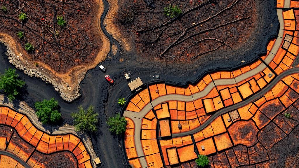
Forest soils are among the most consequential and least observed components of terrestrial ecosystems. They regulate water flow, store carbon, sustain biodiversity, and determine whether a forest recovers after a catastrophe or slides into long-term decline. Yet when wildfire sweeps through a stand or harvesters drag logs across a cutblock, the damage that matters most often happens out of sight, in the top few centimeters of earth that satellites have never been able to see directly. A new evidence map published in the journal SOIL by researchers at Natural Resources Canada has now systematically charted, for the first time, exactly where remote sensing succeeds in monitoring post-disturbance soil degradation and where it fundamentally cannot.
The team, led by Maisy Roach-Krajewski and corresponding author Jérôme Laganière at the Laurentian Forestry Centre in Québec, screened an extraordinary 4,338 records drawn from Scopus, EBSCO, OpenAlex, Google Scholar, and government repositories in Canada and the United States. After applying strict eligibility criteria, they distilled the literature down to 72 primary studies published between 1996 and 2025. Each study was coded across disturbance type, biome, sensor platform, spatial scale, and soil degradation indicator, producing a structured map of nearly three decades of research effort. The result is less a single discovery than a diagnostic of an entire field: a candid accounting of what orbiting and airborne sensors can honestly tell forest managers about the ground below.
The headline finding is a stark imbalance. Wildfire accounts for just over half of the disturbance cases in the evidence base, and harvesting for nearly 43 percent, while insect outbreaks, windthrow, mining, and off-road vehicle use barely register. This skew is not an accident of research fashion. Wildfire strips away canopy and leaves behind ash, char, and exposed mineral soil, producing strong, spatially coherent spectral contrasts that multispectral sensors detect with high confidence. Harvesting, by contrast, leaves discontinuous scars such as ruts, skid trails, and landings that demand very-high-resolution three-dimensional sensing. In other words, the literature clusters around disturbances that create visible surface signals, because those are the signals remote sensing can actually read.
Technically, the evidence map reveals two distinct methodological worlds. In post-fire landscapes, multispectral satellite data, especially from Landsat and Sentinel-2, dominate. Spectral indices built on shortwave infrared bands are particularly valuable because their sensitivity to moisture and char allows researchers to discriminate among burn severity classes across landscapes spanning up to more than 1.4 million hectares. In harvested forests, the toolset flips toward structure rather than spectra: LiDAR and stereo photogrammetry, increasingly deployed from unmanned aerial vehicles, reconstruct rut geometry, surface displacement, and microtopography in fine detail. UAV-based approaches only entered the literature after 2013, and harvesting studies did not appear at all until 2012, revealing how recently this second world has taken shape.
The authors organize these patterns through a disturbance–threat–indicator framework that classifies observability as direct, proxy-based, or limited. Burn severity after wildfire is directly observable, since combustion residues and exposed soil produce measurable spectral signatures. Soil compaction after harvesting, one of the most consequential threats to site productivity, is only proxy-observable: sensors can map rut geometry and surface roughness, but the actual loss of porosity and hydraulic conductivity beneath the surface must be confirmed with field measurements. Indicators such as bulk density, soil organic carbon stocks, nutrient pulses, pH, and microbial community shifts remain almost entirely beyond remote detection in forested settings, where canopy and understory occlusion block the view that agricultural systems, with their seasonal bare-soil exposure, do not face.
Timing emerges as a critical constraint throughout the synthesis. Surface-expressed signals are transient. Ash and char contrasts fade as vegetation regrows and moisture cycles shift spectral values independently of any real change in soil condition. The evidence map shows that most studies acquire imagery in the same year as the disturbance, and that pre-disturbance baselines, essential for spectral differencing techniques such as dNBR, are reported almost exclusively for wildfire cases, where decades of satellite archives make before-and-after comparison cheap and standardized. Harvesting studies, lacking comparable high-resolution pre-event baselines, typically map post-event footprints and infer subsurface condition through targeted field sampling rather than true change detection.
Scale introduces its own trade-offs. Broad-footprint outcomes such as soil burn severity and post-fire erosion pair naturally with satellite systems that maximize coverage and comparability, with wildfire study areas averaging nearly 150,000 hectares. Narrow, discontinuous outcomes such as rutting and displacement demand UAV or terrestrial platforms that deliver diagnostic detail at the cost of coverage efficiency. The most promising operational design, and one increasingly visible in the literature, is nested: regional satellite screening identifies high-risk areas, then targeted drone or LiDAR surveys quantify mechanisms where management action is most needed. This hybrid logic preserves regional consistency while capturing the site-scale resolution that mitigation decisions require.
The study is equally candid about its own limits and those of the field. Geographically, the evidence base is concentrated in Europe and North America, with boreal and Mediterranean biomes best represented and tropical forests nearly absent, a gap the authors attribute partly to persistent cloud cover that can leave months-long holes in optical satellite records. The search strategy itself, weighted toward forestry terminology, likely undercounted chemically framed degradation pathways in mining contexts. Compound disturbances, particularly salvage logging after fire, remain poorly understood despite evidence that their soil impacts are non-additive, amplifying erosion risk and delaying recovery beyond what either disturbance would cause alone.
Looking forward, the authors identify emerging technologies that could push against current observability limits. Hyperspectral sensors capture narrow spectral features tied to mineralogy, organic matter, and ash composition, strengthening proxy relationships for soil carbon and nutrient change. Quantum gravity gradiometers, demonstrated in laboratory and field trials, could eventually detect subsurface density contrasts such as compaction or buried voids that no optical or LiDAR system can reach. Artificial intelligence and multi-sensor fusion promise to integrate structural, spectral, and radar data streams to detect harvesting damage under partial canopy. None of these are yet operational, but together they sketch a future in which the invisible fraction of soil degradation shrinks.
The practical message for forest agencies is sobering but clarifying. Remote sensing is not a replacement for field measurement; it is a stratification and decision-support layer that tells field crews where to look and helps translate scattered ground truth into landscape-scale understanding. As reporting frameworks such as the FAO Global Forest Resources Assessment demand transparent, repeatable, indicator-driven soil metrics, this evidence map provides something the field has lacked: an honest inventory of which indicators can be consistently observed from above, which require proxy reasoning with explicit calibration, and which will always demand boots on the ground. In an era when an estimated one-third of global soils are already degraded and forests face intensifying disturbance regimes, knowing the limits of our orbital eyes may be as valuable as extending their reach.
Subject of Research: Remote sensing of post-disturbance soil degradation in forest ecosystems
Article Title: Post-disturbance soil monitoring in forests using remote sensing: an evidence map
Article References: Roach-Krajewski, M., Giroux-Bougard, X., Paré, D., Dallaire, C., Guindon, L., Jordan, F., Norris, C., Webster, K., & Laganière, J. (2026). Post-disturbance soil monitoring in forests using remote sensing: an evidence map. SOIL, 12(2), 885-914. https://doi.org/10.5194/soil-12-885-2026
Image Credits: AI Generated
Keywords: remote sensing, forest soils, soil degradation, wildfire, forest harvesting, LiDAR, photogrammetry, burn severity, soil compaction, evidence map, satellite monitoring, forest management
Cite Scienmag News
Alan Morgan. (October 8, 2026). Satellites Can See Burned Forests, but Not the Damage Beneath the Soil. Scienmag. https://scienmag.com/satellites-can-see-burned-forests-but-not-the-damage-beneath-the-soil/
Alan Morgan. "Satellites Can See Burned Forests, but Not the Damage Beneath the Soil." Scienmag, 8 October 2026, https://scienmag.com/satellites-can-see-burned-forests-but-not-the-damage-beneath-the-soil/. Accessed 8 October 2026.
Alan Morgan. "Satellites Can See Burned Forests, but Not the Damage Beneath the Soil." Scienmag. October 8, 2026. https://scienmag.com/satellites-can-see-burned-forests-but-not-the-damage-beneath-the-soil/


