


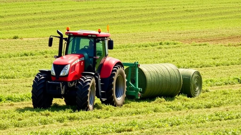
Every summer, Irish agricultural contractors harvest more than five million round bales of silage, often rolling from one small field to the next with no idea how much grass each one holds. Quoting a job, scheduling a fleet of balers, and keeping expensive machines from sitting idle all depend on a number nobody can reliably produce in advance: how many bales a field will yield. A new study published in Smart Agricultural Technology offers a strikingly simple answer, using nothing more than the GPS signal already flowing through the tractor cab.
Researchers led by Sean J. Harkin of the University of Galway, working with McHale Engineering and a commercial harvesting contractor, fitted a fixed-chamber round baler-wrapper with a custom electronic control unit, a low-cost GNSS module, and a 2D LiDAR scanner, then recorded an entire five-month silage season. The result was a dataset spanning 120 fields ranging from 0.2 to 5 hectares, with yields from 7 to 33 bales per hectare and nearly 3,000 individually tracked bales. From that mountain of coordinates, the team built a deterministic algorithm that predicts, in real time, how many bales remain to be harvested.
The core insight is deceptively elegant. In a high-yield field, the baler fills its chamber quickly, so it travels a short distance between bale drops. In a sparse field, the machine must crawl over far more ground to collect the same volume of grass. Distance travelled per bale, in other words, is an inverse proxy for yield. Unlike specialised mass-flow sensors or load cells, which have never been commercialised on round balers largely because their cost rivals the machines themselves, distance comes free with any GNSS receiver.
Making that idea work required solving a harder problem first: figuring out which field the baler is actually in, without any prior map. The researchers noticed that operators almost always begin a job by circling the field perimeter to clear the headlands, creating turning room for later manoeuvres. The algorithm exploits this habit. It constructs a coverage polygon from the machine’s 4.8-metre working width, sweeping it along the recorded GPS track, and detects the moment the extended path intersects its own earlier coverage, signalling the first completed boundary loop. The enclosed area then serves as a proxy for the true field area, checked against safeguards that discard loops shorter than 100 metres or intersections caused by reversing.
Once the boundary area is known, a regression model converts it into an estimate of total swathe distance, the length of ground the machine will cover while actually picking up grass. Trained on the historical data, the relationship between field area and engaged distance proved remarkably tight, registering a coefficient of determination of 0.996. The team forced the regression through the origin for logical consistency, zero area must mean zero distance, and verified with an unconstrained model that the constraint did not distort the underlying geometry. The slope of roughly 0.185 metres of swathe per square metre of field held across fields of wildly different shapes and sizes.
The second half of the algorithm refines itself as the job progresses. Each time a formed bale transfers from the baling chamber to the wrapping tray, the distance travelled since the previous drop is logged. The analysis confirmed the hypothesis: boxplots of bale distance grouped by field showed a clear downward trend as yield increased, and crucially, each field’s bale distances behaved as a statistically distinct population rather than a slice of one season-wide distribution. A rolling average over the most recent eight bales, excluding the first to avoid cold-start artefacts, tracks the field’s local productivity and feeds into the running prediction.
Evaluated across all 120 fields, the algorithm converged from an initial mean absolute error of 2.7 bales, with a standard deviation of 4.1, down to 1.2 bales, plus or minus 2.1, by the time 90 percent of the harvest was complete, a relative error of just 4.8 percent. Both the rolling and expanding average methods outperformed a naive season-wide median of 95 metres per bale, which lagged behind at every stage. Errors also proved evenly spread across the full yield range, meaning the method works as well on lush fields as on exhausted ones, and accuracy improved most in the large fields where contractors have the most time and money at stake.
The study is honest about its limits. The boundary detection stumbled on a 5-hectare field where the operator split the work into sections, producing a 34 percent area error, and it cannot anticipate unbaled patches around obstacles or waterlogged ground. The 1 Hz GPS sampling rate may alias during fast headland turns, and the LiDAR thresholds used to label crop engagement were calibrated for grass and may not transfer to other crops. The authors also note that predictions assume a consistent operator and uniform bale chamber filling, assumptions that held across this season but may not generalise across crews.
Even so, the implications for the contracting industry are considerable. Contractors typically charge per bale, with Irish rates reaching up to 18 euro per bale for baling and wrapping, and they routinely harvest multiple fields in a single day. A prediction available after a single loop of the perimeter, refined continuously as bales accumulate, lets them match machine capacity to the job, update schedules dynamically, and quote customers with confidence, all without satellite imagery blocked by clouds, drone flights, or a preliminary site visit. Earlier research had used distance travelled to map yields after the fact in sugarcane and grapes; this is the first application, the authors say, to predicting crop remaining during a live operation.
The team plans to release the underlying dataset and benchmark metrics publicly, and future work will extend the coverage map across the whole field to correct for unharvested zones, integrate path-planning algorithms to update remaining swathe distance, and feed the predictions into dynamic fleet scheduling. For now, the study stands as a proof that sometimes the most valuable sensor on a modern farm is the one already installed, quietly logging coordinates while the real work happens behind it.
Subject of Research: Real-time round bale yield prediction using field boundary detection and distance-based analysis from GNSS machinery data
Article Title: Field boundary detection and distance-based analysis for bale yield prediction in round bale harvesting
Article References: Harkin, S. J., Crotty, T., Warren, J., Shanahan, C., Jones, E., Glavin, M., & Byrne, D. (2026). Field boundary detection and distance-based analysis for bale yield prediction in round bale harvesting. Smart Agricultural Technology, 15, Article 102470. https://doi.org/10.1016/j.atech.2026.102470
Image Credits: AI Generated
DOI: 10.1016/j.atech.2026.102470
Keywords: precision agriculture, yield prediction, GNSS, round baling, silage, field boundary detection, machine learning, agricultural machinery, swathe distance, bale distance, smart farming, coverage mapping
Cite Scienmag News
Alan Morgan. (October 7, 2026). Tractor GPS Alone Predicts Silage Bale Yields in Real Time. Scienmag. https://scienmag.com/tractor-gps-alone-predicts-silage-bale-yields-in-real-time/
Alan Morgan. "Tractor GPS Alone Predicts Silage Bale Yields in Real Time." Scienmag, 7 October 2026, https://scienmag.com/tractor-gps-alone-predicts-silage-bale-yields-in-real-time/. Accessed 7 October 2026.
Alan Morgan. "Tractor GPS Alone Predicts Silage Bale Yields in Real Time." Scienmag. October 7, 2026. https://scienmag.com/tractor-gps-alone-predicts-silage-bale-yields-in-real-time/


