


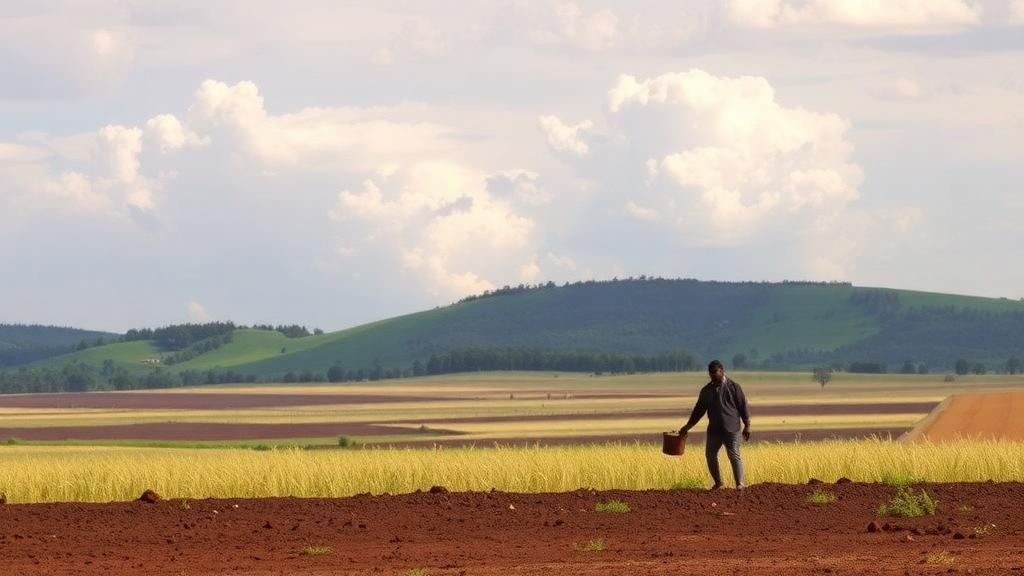
Soil erosion by water is quietly stripping away the foundation of agriculture in the Ethiopian highlands, and a new study has put hard numbers on just how fast the land is disappearing. Using satellite data and cloud-based computing, researchers have mapped soil loss across the North Gojjam and South Gojjam sub-basins of the Abbay basin in northwestern Ethiopia, revealing an average annual soil loss of 32.05 tonnes per hectare. Nearly 45 percent of the study area is experiencing moderate to very severe erosion, and on cultivated land the situation is even more alarming, with average losses reaching 40.92 tonnes per hectare each year. In a region known as one of the largest cereal-producing areas in the country, those figures represent a direct and quantifiable threat to national food security.
The research, published in the journal Discover Sustainability, was led by Yilkal Gebeyehu Mekonnen of Debre Markos University together with colleagues from the Water and Land Resource Centre, Addis Ababa University, Royal Holloway University of London and the Chinese Academy of Sciences. Rather than relying on sparse field measurements alone, the team applied the Revised Universal Soil Loss Equation, widely known as RUSLE, on the Google Earth Engine cloud computing platform. This approach allowed them to integrate satellite-derived rainfall estimates, soil type data, a digital elevation model, flow accumulation grids, Dynamic World land-cover classifications and datasets describing the distribution of existing soil and water conservation structures into a single, coherent model of erosion risk across the landscape.
RUSLE works by multiplying together a series of factors that each capture one dimension of the erosion process. Rainfall erosivity describes how much kinetic energy storm water delivers to the ground; soil erodibility captures how easily particles detach; the slope length and steepness factor accounts for the accelerating power of water running downhill; the cover management factor reflects how much vegetation protects the surface; and the support practice factor represents interventions such as terraces and bunds that interrupt overland flow. By deriving each of these factors from remote sensing and openly available geospatial datasets, the researchers could generate wall-to-wall erosion estimates at a resolution and coverage that would be impossible to achieve through ground surveys alone.
The baseline results paint a sobering picture of the current state of the land. With a mean soil loss of 32.05 tonnes per hectare per year across the sub-basins, and 44.66 percent of the area classified as experiencing moderate to very severe erosion, the study confirms that land degradation is not a marginal problem confined to fragile hillsides. It is a widespread, landscape-scale phenomenon. The concentration of severe erosion on cultivated land is particularly significant, because it is precisely the fields that farmers depend on for teff, maize, wheat and barley that are losing their fertile topsoil fastest. Topsoil is where organic matter, nutrients and the microbial communities that sustain crop growth reside, and once it is gone, productivity declines in ways that are extremely difficult and expensive to reverse.
What makes the study especially valuable, however, is that it did not stop at diagnosis. The team used their model to ask a forward-looking question: what would happen to soil loss under different land management futures? They constructed scenarios by adjusting the two RUSLE factors that human decisions directly control. In a best management scenario, they assumed widespread adoption of effective soil and water conservation measures, reflected in improved support practice and cover management values. In the opposite extreme, a no-management scenario assumed that existing conservation structures were absent or abandoned. Because the model framework was already in place, running these alternative futures required only recalculating the relevant factor layers.
The contrast between the scenarios is striking. Under best management, mean soil loss across the sub-basins falls to 16.62 tonnes per hectare per year, roughly a 48 percent reduction from the current baseline. Under the no-management scenario, mean soil loss climbs to 47 tonnes per hectare per year, an increase of nearly 47 percent. In other words, the choices that farmers, communities and government agencies make about terraces, vegetation cover and field management could swing annual soil loss across the region by a factor of nearly three. The study does not merely document degradation; it quantifies the stakes of action versus inaction in a way that planners can use directly.
These findings carry particular weight in the Ethiopian highlands, one of the most severely eroded agricultural regions on Earth. Steep slopes, intense seasonal rainfall concentrated in a few months, centuries of cultivation and historically limited conservation investment have combined to make the Abbay basin, which feeds the Blue Nile, a hotspot of land degradation. Soil washed from highland fields does not simply vanish; it clogs rivers and reservoirs downstream, reduces the storage capacity of dams, and degrades aquatic ecosystems. The costs of erosion therefore ripple far beyond the farm gate, affecting hydropower, irrigation and water supply across national and even international boundaries.
The technical approach adopted by the team is as noteworthy as the results. Google Earth Engine provides free access to vast archives of satellite imagery and planetary-scale computing power, which means that analyses that once required expensive software, high-performance hardware and months of data processing can now be executed in the cloud in a fraction of the time. The authors emphasize that their framework can be adapted with minimal effort to customize soil loss estimates for a specific region or watershed. That portability matters for a country like Ethiopia, where thousands of watersheds need prioritization for conservation spending and where local decision-makers often lack the technical resources to build erosion models from scratch.
Dynamic World, the near-real-time land-cover product used in the analysis, deserves particular mention. Traditional land-cover maps are updated infrequently and quickly go out of date in landscapes where cropping patterns change annually. By drawing on a continuously updated, machine-learning-based classification, the researchers ensured that the cover management factor reflected the actual state of vegetation protection on the ground. Combined with satellite rainfall data and a soil and water conservation distribution dataset, this produced a picture of erosion dynamics that is both current and spatially detailed, allowing hotspots to be identified at a scale meaningful for intervention planning.
For stakeholders in the Abbay basin and beyond, the study provides a baseline and a decision-support tool in one package. Watersheds with the highest erosion rates can be identified and targeted for terracing, bund construction, vegetative barriers and other conservation practices, while the scenario results offer a quantified estimate of the returns those investments could deliver. The message from the numbers is unambiguous: conservation works, and its absence is costly. If the best management scenario were achieved, the region could cut its soil losses nearly in half, protecting the cereal fields that feed the nation and the waterways that sustain millions downstream. As climate variability intensifies rainfall extremes across the Horn of Africa, the window for acting on that evidence is narrowing, and studies like this one make it increasingly difficult to claim that the scale of the problem, or the size of the opportunity, is unknown.
Subject of Research: Water erosion modeling and land management scenarios in the northwestern Ethiopian highlands
Article Title: Soil loss dynamics under different land management scenarios in the Northwestern Ethiopian highlands
Article References: Mekonnen, Y. G., Kidane, T. A., Bantider, A., Abate, S. G., Molla, A., Birhanu, L., Teferi, E., Alamirew, T., & Zeleke, G. (2026). Soil loss dynamics under different land management scenarios in the Northwestern Ethiopian highlands. Discover Sustainability. https://doi.org/10.1007/s43621-026-04917-9
Image Credits: AI Generated
DOI: 10.1007/s43621-026-04917-9
Keywords: soil erosion, RUSLE, Ethiopian highlands, Google Earth Engine, soil and water conservation, Abbay basin, land degradation, remote sensing, land management scenarios, food security, Dynamic World land cover, cloud computing
Cite Scienmag News
Alan Morgan. (October 6, 2026). Cloud Computing Maps Soil Erosion Crisis in Ethiopia’s Cereal Heartland. Scienmag. https://scienmag.com/cloud-computing-maps-soil-erosion-crisis-in-ethiopias-cereal-heartland/
Alan Morgan. "Cloud Computing Maps Soil Erosion Crisis in Ethiopia’s Cereal Heartland." Scienmag, 6 October 2026, https://scienmag.com/cloud-computing-maps-soil-erosion-crisis-in-ethiopias-cereal-heartland/. Accessed 6 October 2026.
Alan Morgan. "Cloud Computing Maps Soil Erosion Crisis in Ethiopia’s Cereal Heartland." Scienmag. October 6, 2026. https://scienmag.com/cloud-computing-maps-soil-erosion-crisis-in-ethiopias-cereal-heartland/


