


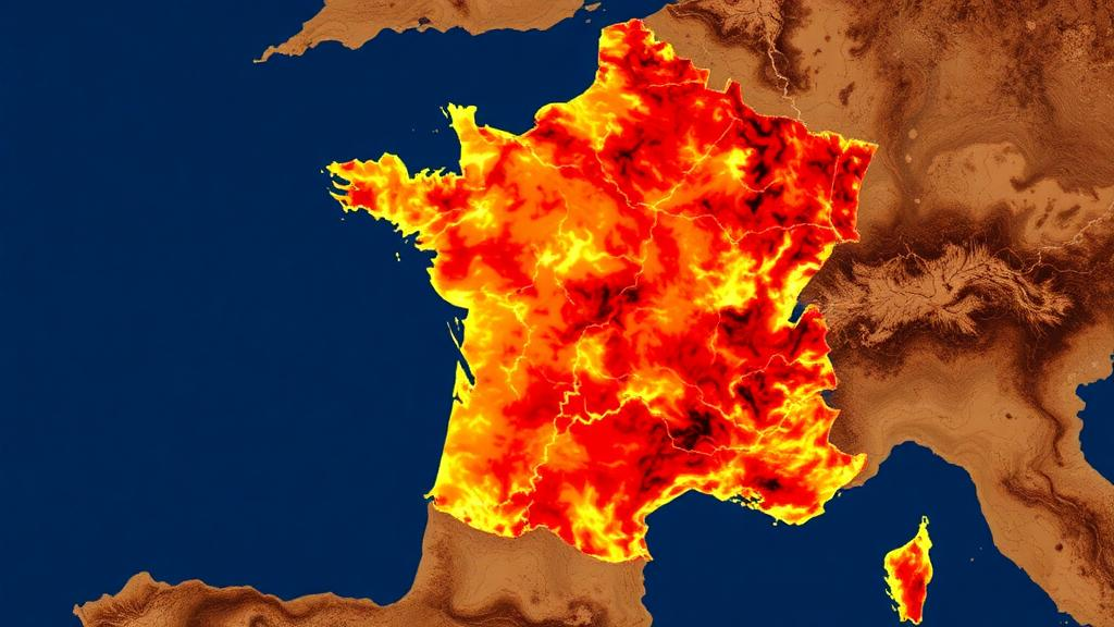
In the summer of 2022, the forests of Gironde in southwestern France became the stage for one of the most catastrophic fire seasons in modern French history. More than 30,000 hectares burned during the Landiras and La Teste-de-Buch megafires, sending plumes of smoke over Bordeaux and forcing thousands of residents and tourists to flee. Now, a new study published in the journal Natural Hazards has produced the most detailed vulnerability map yet for this fire-prone department, combining satellite observations, geographic information systems, and a structured expert-judgment technique known as the Analytical Hierarchy Process. The result is a high-resolution picture of where fires are most likely to ignite and spread, and it confirms what firefighters in the region have long suspected: nearly half of Gironde is structurally primed to burn.
The research team, led by Meriem Khelali of Eötvös Loránd University in Budapest together with colleagues from Algeria and Hungary, chose Gironde for good reason. Covering roughly 10,725 square kilometers, it is the largest department in metropolitan France and hosts the Landes de Gascogne Forest, one of the biggest artificial forest plantations in Europe. The landscape is dominated by maritime pine, Pinus pinaster, a resin-rich species whose dense canopies, accumulated litter, and flammable needles create continuous fuel beds that favor large, fast-moving crown fires. Forest covers about 46 percent of the department, and when this uniform fuel matrix is combined with sandy, fast-draining soils, recurrent summer droughts, and strong Atlantic winds, the conditions for catastrophic fire become almost textbook.
To capture the full complexity of the fire environment, the researchers assembled a geodatabase of twelve conditioning factors spanning four dimensions: vegetation and fuel characteristics, climate and weather, topography, and human influence. Sentinel-2 satellite imagery processed in Google Earth Engine yielded the Normalized Difference Vegetation Index and the Normalized Difference Moisture Index, which track fuel availability and vegetation water content respectively. Climate variables, including temperature, wind speed, and components of the Fire Weather Index, came from the ERA5 reanalysis datasets, while drought conditions were characterized using the Standardized Precipitation Index derived from TerraClimate. Land cover and fuel types were mapped from the CORINE Land Cover database, road networks and settlements were drawn from OpenStreetMap, and slope was generated from the 25-meter EU-DEM digital elevation model.
Each of the twelve layers was reclassified onto a common vulnerability scale from 1, representing very low vulnerability, to 7, representing very high vulnerability, and resampled to a uniform 100-meter grid. The team then applied the Analytical Hierarchy Process, a multi-criteria decision-making method that decomposes a complex problem into pairwise comparisons. In this case, a complete 12 by 12 reciprocal matrix was constructed to judge the relative importance of each factor, informed by published fire science and the specific dynamics of Gironde’s pine-dominated ecosystems. Forest fuel type, for example, was judged substantially more influential than temperature or the Fire Weather Index, reflecting the dominant role of fuel continuity in regional fire propagation. The matrix achieved a Consistency Ratio of 0.046, well below the accepted threshold of 0.10, indicating that the expert judgments were internally coherent rather than arbitrary.
The weighting scheme that emerged from the analysis is striking in what it reveals. Fuel-related variables, including forest fuel type, land cover, and the two vegetation indices, collectively accounted for roughly 60 percent of the total model weight. Human-related factors, such as distance to roads, settlement density, and proximity to agricultural land, contributed about 23 percent, underscoring the fact that most ignitions in Europe occur where people and forests meet. Climatic and weather variables contributed around 9 percent, and topography just 8 percent, largely because Gironde’s terrain is flat and its summer climate is spatially uniform. In other words, what makes Gironde dangerous is not primarily its weather but what grows there and who travels through it.
Combining the weighted layers through a weighted sum model produced the Forest Fire Vulnerability Index, which was classified into five categories. The results are sobering. The very high vulnerability class alone occupies 3,496 square kilometers, or 35.3 percent of the department, concentrated in the southern and western sectors where maritime pine stands, sandy soils, and Atlantic winds converge. The moderate class covers another 30.4 percent, while the high class adds 12.6 percent. Taken together, high and very high vulnerability zones encompass 47.9 percent of Gironde. At the opposite extreme, only 76 square kilometers, less than one percent of the department, fall into the very low category, restricted to wetlands, water bodies, and dense urban areas with little burnable fuel.
Crucially, the model was not left untested. The researchers validated it against 699 active fire detection points recorded by NASA’s Fire Information for Resource Management System in July 2022, the very month the megafires raged. When these ignition points were overlaid on the vulnerability map, 87 percent fell within the high and very high classes, and 64.1 percent occurred within the very high class, which covers just 35.3 percent of the study area. Receiver Operating Characteristic analysis yielded an area under the curve of 0.721, indicating good discriminatory performance, while a Success Rate Curve analysis produced an even stronger AUC of 0.86, confirming excellent agreement between predicted vulnerability and observed fire activity. The spatial pattern also aligns closely with the areas most affected during the 2022 fire season, lending further ecological credibility to the framework.
The choice of the Analytical Hierarchy Process over machine learning alternatives is itself a deliberate methodological statement. While statistical and artificial intelligence approaches have become popular in fire prediction, they often operate as black boxes whose internal logic is difficult to interrogate. The AHP framework, by contrast, makes the contribution of every factor explicit through pairwise comparisons, allowing forest managers to understand, justify, and adjust the weights as conditions change. This transparency is particularly valuable in data-scarce regions where long historical fire inventories may not exist, and it makes the resulting vulnerability map a practical decision-support tool rather than a purely academic exercise. The authors note that their AUC value sits comfortably within the 0.70 to 0.85 range typically reported for comparable knowledge-driven GIS studies.
The study does acknowledge limitations. The ERA5 climate data are coarser than the Sentinel-2 imagery, which may smooth out local weather variability, and vegetation moisture was represented with static satellite-derived indicators rather than continuously updated observations. The model also does not incorporate post-fire severity or burned-area dynamics. Future refinements could draw on near-real-time live fuel moisture estimates from fused Sentinel-1 and Sentinel-2 data, downscaled climate products, and machine learning algorithms such as Random Forest or XGBoost, potentially combined with future climate scenarios to support long-term risk assessment under a changing climate.
For now, the map stands as a timely warning and a practical guide. Since 2017, both the number of ignitions and the total burned area in Gironde have increased substantially, a trend driven by the combined effects of frequent droughts, heatwaves, and powerful Atlantic winds, all amplified by a warming climate. With nearly half the department classified as highly or very highly vulnerable, the stakes extend beyond the forest itself: these woodlands protect coastal dunes and wetlands, sustain biodiversity, support a major timber industry, and help stabilize the Atlantic coastline against erosion. A transparent, validated, high-resolution vulnerability map gives fire prevention services, land-use planners, and fuel managers a common evidence base for deciding where to thin stands, maintain firebreaks, position resources, and issue early warnings before the next Landiras-scale disaster arrives.
Subject of Research: Forest fire vulnerability assessment in Gironde, France using remote sensing and the Analytical Hierarchy Process
Article Title: An integrated remote sensing and AHP framework for forest fire vulnerability assessment in Gironde, France
Article References: Khelali, M., Bensekhria, A., Bouhata, R., Djabri, A. D., Hanini, W., Sanga, A., Ominde, J., & Jung, A. (2026). An integrated remote sensing and AHP framework for forest fire vulnerability assessment in Gironde, France. Natural Hazards, 122(18), Article 626. https://doi.org/10.1007/s11069-026-08402-4
Image Credits: AI Generated
DOI: 10.1007/s11069-026-08402-4
Keywords: forest fire, vulnerability mapping, remote sensing, AHP, GIS, Gironde, France, maritime pine, Sentinel-2, wildfire risk, Natural Hazards, megafires
Cite Scienmag News
Courtney Benton. (October 2, 2026). Satellites and Expert Judgments Combine to Map Fire Danger in Southwest France. Scienmag. https://scienmag.com/satellites-and-expert-judgments-combine-to-map-fire-danger-in-southwest-france/
Courtney Benton. "Satellites and Expert Judgments Combine to Map Fire Danger in Southwest France." Scienmag, 2 October 2026, https://scienmag.com/satellites-and-expert-judgments-combine-to-map-fire-danger-in-southwest-france/. Accessed 2 October 2026.
Courtney Benton. "Satellites and Expert Judgments Combine to Map Fire Danger in Southwest France." Scienmag. October 2, 2026. https://scienmag.com/satellites-and-expert-judgments-combine-to-map-fire-danger-in-southwest-france/


