


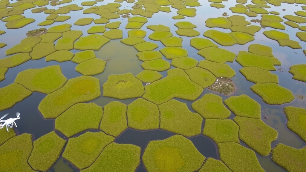
Peatlands are among the planet’s most quietly extraordinary ecosystems. They cover just 3 to 4 percent of Earth’s land surface, yet they store up to 30 percent of the world’s soil carbon, locking away millennia of partially decayed plant matter in waterlogged, oxygen-poor conditions that slow decomposition to a near standstill. Now, a team of Slovak researchers has shown that a drone, a modest RGB camera, and an interpretable artificial intelligence algorithm can map these vanishing ecosystems with a level of detail that satellites simply cannot match — and in doing so, they have uncovered faint but promising signs of ecological recovery in one of Central Europe’s most pressured peatlands.
The study, published in Discover Ecology, focuses on the Klinské rašelinisko peatland in the Orava region of northern Slovakia, a small bog nestled in the foothills of the Western Carpathians. Slovakia sits at the southern edge of Europe’s peatland distribution, which makes its bogs naturally small, isolated and fragmented — and exceptionally vulnerable to climate change and human activity. Historical maps from the Second Military Survey of the nineteenth century show that the core of Klinské rašelinisko has survived the centuries largely intact, but its surrounding zones have disappeared. Past melioration, or drainage for agriculture and forestry, degraded a considerable portion of its habitats. Today, the State Nature Conservancy of the Slovak Republic is carrying out revitalisation work there, and knowing exactly where degraded and healthy habitat remains is crucial for judging whether those efforts are succeeding.
To get that information, the researchers turned to an uncrewed aerial vehicle. In August 2024, a DJI Phantom 4 Pro V2.0 drone flew at roughly 108 metres above the 0.418 square kilometre site, capturing 437 aerial images with a ground sampling distance of 2.74 centimetres per pixel. The imagery was processed in Agisoft Metashape to produce an orthomosaic and a digital surface model at five-centimetre resolution, georeferenced with five ground control points to a total error of just 2.40 centimetres. August was chosen deliberately: during the late-summer vegetation period, wetland plants reach peak biomass and their most distinctive phenophases, giving the clearest possible spectral separation between plant communities.
But colour alone was not enough. The team added a fourth data channel: vegetation height, calculated as the difference between the drone-derived digital surface model and a digital terrain model drawn from a nationwide airborne LiDAR survey conducted between 2017 and 2019. Height matters enormously in peatlands, where mosaics of forest, shrub and herb layers, along with pools, hummocks and hollows, encode the moisture gradients that define each habitat. The researchers estimate the computed vegetation height is accurate to within 10 to 15 centimetres — good enough to distinguish a mossy fen surface from a shrub thicket, and a crucial advantage over satellite products such as Sentinel-2, whose 10-metre resolution blurs away the fine-scale patches that dominate these small Slovak mires.
With the data assembled, the team applied an algorithm called the Natural Numerical Network, or NatNet, developed at the Slovak University of Technology in Bratislava and implemented in the NaturaSat software platform. Unlike the black-box reputation of conventional deep learning, NatNet is mathematically interpretable: the influence of representative samples, the graph structure and the classification parameters can all be directly inspected and understood. That transparency is not a luxury in conservation work, where managers must justify decisions about protected habitats. NatNet also retrains efficiently when capture conditions change, preserving representative habitat samples and classification logic across campaigns.
Training data came from the ground. Botanists walked the peatland, identified homogeneous areas of four Natura 2000 habitat types, documented their boundaries with GPS, and recorded species composition on Tansley’s cover scale. The habitat types themselves are defined by subtle floristic and structural criteria that coarser land-cover classes cannot capture: 91D0 Bog woodlands dominated by species such as downy birch and Norway spruce; 7120 Degraded raised bogs still capable of natural regeneration; 7230 Alkaline fens, the base-rich small-sedge and brown-moss wetlands that are the main restoration target at the site; and KRO06 Mire willow scrub, which forms mosaics at the peatland’s margins. Field polygons were refined with the semi-automatic segmentation tools of NaturaSat, yielding fourteen training polygons and seven independent validation polygons.
The researchers ran two experiments testing how the size of the training window shapes the result. In the first, NatNet learned from 150 representative squares of 11 by 11 pixels — 30 per habitat plus a background cluster of non-peatland meadow — and reached 94.6 percent validation accuracy across 167 independent validation squares. Bog woodlands and mire willow scrub were classified nearly perfectly, with F1-scores of 0.99 and 0.98. Most confusion occurred between the two spectrally similar wetland habitats, 7120 and 7230, which share comparable vegetation height, canopy density and surface texture. In the second experiment, larger 21 by 21 pixel squares — 63 in total — gave the model a broader spatial context. Training accuracy hit 100 percent, validation accuracy was 94.0 percent, and the 7120-7230 confusion dropped markedly, suggesting the wider window better captures the characteristic structure of alkaline fens, though it occasionally overestimated shrub occurrence.
The most striking result came from the relevancy maps — grayscale images in which brighter pixels indicate stronger resemblance to a target habitat. In the map for 7230 alkaline fens, bright areas appeared not only in the field-validated polygons but also inside the degraded raised bog interior, marking small fragments of high-quality fen vegetation that may represent early-stage habitat recovery. Several previously unlabelled violet validation areas were distinctly flagged as white on the map and were subsequently confirmed by botanical field surveys to contain 7230 habitat. From a restoration perspective, this is the study’s headline finding: the algorithm can spotlight candidate zones where revitalisation may already be working, precisely the information managers need to direct field verification and long-term monitoring. The 11 by 11 pixel model caught these fine-scale patches that the larger-window model, better suited to mapping broad, continuous habitats, deliberately smoothed over.
The performance figures compare favourably with the wider literature. Studies classifying broad wetland ecosystem types typically report overall accuracies of 79 to 94 percent, while plant-community-level classifications generally fall between 77 and 90 percent. A multi-sensor airborne study combining LiDAR, hyperspectral and thermal data across 22 peatland classes reached 79 percent; species-level drone classification of peatland vegetation has managed only 69 percent in the best case. The 94 percent achieved here with a simple RGB camera and a height layer, at just four habitat classes and a single site, underscores how much a well-chosen interpretable algorithm and high-resolution imagery can accomplish — though the authors caution that their validation took place within the same peatland, a less demanding test than the multi-site transferability evaluations other studies attempt.
Limitations remain. The study rests on a single drone acquisition during one phenological window, and seasonal variation in vegetation, hydrology and illumination could affect reproducibility, meaning expert botanists must time future flights. Both training and validation data came from the same locality, so the method still needs testing across additional peatlands, seasons and acquisition conditions. Yet a comparable drone-NatNet workflow has already succeeded at the Čiližská Radvaň wetland, hinting at transferability, and the model can be retrained on new representative samples without full re-acquisition campaigns. The authors see the framework as a foundation for long-term peatland monitoring in Central Europe, potentially fused with satellite imagery for scalability or drone LiDAR for richer structural information. As the EU Biodiversity Strategy for 2030 and the Nature Restoration Law demand concrete, verifiable evidence that ecosystems are genuinely recovering, a small drone circling above a Slovak bog may be quietly delivering exactly the proof that policymakers need.
Subject of Research: Drone-based machine learning classification of Natura 2000 peatland habitats in the Klinské rašelinisko peatland, Slovakia
Article Title: Drone-based classification of peatland habitats in the Klinské rašelinisko peatland (Slovakia) using Natural Numerical Networks
Article References: Ožvat, A. A., Šibíková, M., Šibík, J., Papčo, J., & Mikula, K. (2026). Drone-based classification of peatland habitats in the Klinské rašelinisko peatland (Slovakia) using Natural Numerical Networks. Discover Ecology, 2(1), Article 26. https://doi.org/10.1007/s44396-026-00044-x
Image Credits: AI Generated
DOI: 10.1007/s44396-026-00044-x
Keywords: peatlands, drones, remote sensing, habitat classification, Natural Numerical Network, Natura 2000, alkaline fens, bog restoration, machine learning, vegetation height, Slovakia, conservation
Cite Scienmag News
Sloane Callahan. (September 22, 2026). Drones and AI Reveal Hidden Recovery in a Shrinking Slovak Peatland. Scienmag. https://scienmag.com/drones-and-ai-reveal-hidden-recovery-in-a-shrinking-slovak-peatland/
Sloane Callahan. "Drones and AI Reveal Hidden Recovery in a Shrinking Slovak Peatland." Scienmag, 22 September 2026, https://scienmag.com/drones-and-ai-reveal-hidden-recovery-in-a-shrinking-slovak-peatland/. Accessed 22 September 2026.
Sloane Callahan. "Drones and AI Reveal Hidden Recovery in a Shrinking Slovak Peatland." Scienmag. September 22, 2026. https://scienmag.com/drones-and-ai-reveal-hidden-recovery-in-a-shrinking-slovak-peatland/


