


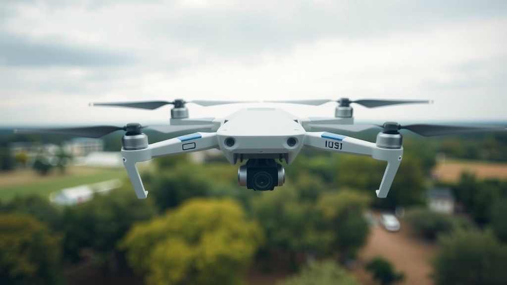
Autonomous drones are quietly becoming the workhorses of the modern city. They monitor crowds at festivals, inspect bridges and power lines, guide emergency responders through traffic-choked streets, and watch over urban infrastructure from altitudes most residents never notice. Yet the very environments that make these vehicles useful also make them fragile. Tall buildings block satellite signals, jammers and spoofer devices can trick a drone’s GPS receiver into believing it is somewhere it is not, and the airspace itself is full of moving hazards that no single sensor can reliably track. A new study published in Multimedia Tools and Applications proposes a way to give small unmanned aircraft a genuinely trustworthy sense of their surroundings, even when the navigation signals they depend on are actively being turned against them.
The research, carried out by Neha M V and Sabu M Thampi at the Digital University Kerala’s School of Computer Science and Engineering, tackles two intertwined problems that have long limited urban drone autonomy. The first is perception: dynamic obstacles such as vehicles, pedestrians and other aircraft move unpredictably, and detecting them in time requires processing enormous streams of video, radar and other sensor data. The second is security: GPS spoofing, in which an adversary broadcasts counterfeit satellite signals, can steer a drone off course or into danger. Current approaches usually address these problems separately, and the frameworks that do combine them tend to be computationally heavy, making real-time, interpretable decision-making under uncertainty difficult on the small processors a UAV can actually carry.
The centrepiece of the new framework is a two-stage defensive and navigational architecture. The first stage is dedicated to trust: a sparse autoencoder, a neural network trained to reconstruct the statistical fingerprints of genuine GPS signals, continuously monitors incoming navigation data. Sparse autoencoders work by compressing inputs through a bottleneck layer while imposing sparsity constraints, so they learn only the essential structure of legitimate signals. When a spoofed signal arrives, the reconstruction error spikes, flagging an anomaly the drone can act on. This detection module acts as a gatekeeper; as long as GPS readings look normal, the system operates conventionally, but the moment an anomaly is detected, the platform shifts into a degraded-GPS mode where navigation integrity is maintained through other means.
That shift is where the second stage comes in. When GPS performance degrades, the framework engages a multi-sensor fusion process that blends information from complementary sources, including vision-based detection, radar and other onboard sensing modalities. The philosophy behind sensor fusion is straightforward in principle and demanding in practice: each sensor has blind spots and failure modes, but their errors are largely uncorrelated, so combining them produces a more reliable picture of the environment than any single instrument could. Cameras offer rich visual detail but struggle in low light; radar penetrates fog and darkness but provides coarse spatial resolution. Fusing their outputs, with tracking stages informed by techniques such as extended Kalman filtering, allows the drone to detect, locate and track moving obstacles even when one channel of information is compromised. Crucially, the researchers designed this fusion pipeline to maximise computational efficiency rather than to throw raw processing power at the problem.
The efficiency gains come in large part from keyframe extraction. Video streams aboard a UAV contain enormous redundancy, with consecutive frames differing only slightly. Rather than pushing every frame through computationally expensive perception models, the system selects informative keyframes that capture the essential changes in the scene and analyses those. This strategy alone reduces the inference load by a striking factor of 122.5, which is what makes the pipeline feasible for real-time operation on resource-constrained aerial hardware. For a drone dodging a delivery drone head-on or tracing a vehicle through dense traffic, milliseconds matter, and shaving the computational burden of perception is not a luxury but a precondition for safety.
Detection, however, is only half of the autonomy problem. Once the drone knows where the hazards are, it must decide what to do about them, and the researchers argue that black-box neural networks are poorly suited to that role in safety-critical flight. Their answer is to embed Logical Neural Networks, or LNNs, into the decision-making core. LNNs are a hybrid form of artificial intelligence that represents logical rules inside neural architectures, so that reasoning is both learnable from data and traceable in human-readable form. Instead of an opaque model simply outputting an avoidance command, an LNN can offer context-aware decisions whose basis, the obstacles detected, the navigation state, and the rules governing safe flight, can be inspected and audited. This interpretability matters for regulators, for engineers debugging flight behaviour, and for any operator who must eventually explain to an accident investigator why a drone did what it did.
The team benchmarked the framework against interpretable baseline systems on publicly available datasets, drawing on urban sensor data and UAV-specific resources that include the GREAT Dataset of vehicle-mounted multi-sensor observations in complex city environments, the VisDrone object detection collection, the MAN TruckScenes multimodal dataset, and the IEEE DataPort UAV attack dataset. Across those evaluations, the combined system achieved an overall accuracy of 90 percent with a 90 percent F1-score, and, notably, a 75 percent emergency recall, meaning it correctly identified three-quarters of emergency situations requiring avoidance action. The authors report that these figures outperform other interpretable baselines while simultaneously reducing inference load through the keyframe strategy, a combination they argue establishes meaningful improvements in navigation integrity, system robustness and decision transparency.
The significance of the work lies partly in what it refuses to trade away. Plenty of machine learning systems can match or beat 90 percent accuracy on a benchmark, but far fewer can do so while explaining their reasoning, while running on the fly, and while remaining resilient to deliberate adversarial interference. GPS spoofing is no longer a hypothetical threat; the researcher community has documented attacks against civilian drones, and the specter of a hijacked UAV crashing into a crowd or critical infrastructure has pushed anti-spoofing techniques, including support vector machine-based detection methods and sparse autoencoder-based anomaly detection, into the mainstream of aerial robotics research. By tying spoofing detection directly into a fallback navigation strategy, the new framework treats security and safety as a single continuous problem rather than two separate engineering silos.
There are, of course, limitations inherent to any experimental evaluation, and the benchmarks used here, however diverse, cannot fully reproduce the chaos of a real metropolitan sky with its rain, magnetic interference, RF congestion and unpredictable human behaviour. The authors themselves frame the contribution as establishing a foundation: a fusion-based navigation architecture that stays interpretable and computationally light enough for deployment. The funding came through a fellowship from the Kerala University of Digital Sciences, Innovation and Technology, and the work reflects a broader movement toward trustworthy autonomy, where explainable reasoning engines like LNNs and anomaly-detection components like sparse autoencoders are woven together rather than bolted on after the fact.
If the vision holds up in field trials, the implications stretch well beyond the drone itself. The same recipe, anomaly detection at the signal level, multi-modal sensor fusion at the perception level, and logical neural reasoning at the decision level, could apply to self-driving cars, warehouse robots and any machine expected to make safety-critical choices in a world that sometimes lies to it. For now, the study offers a concrete demonstration that a drone can be made to notice when its compass of the world is being forged, switch to its own senses, and still find its way home with the reasons for every swerve written down in a form a human can read. In an era when autonomous machines are being asked to share increasingly crowded airspace, that combination of robustness and transparency may prove to be the most important flight instrument of all.
Subject of Research: Autonomous UAV obstacle avoidance using multi-sensor fusion and interpretable decision-making against GPS spoofing
Article Title: A robust autonomous UAV obstacle avoidance through multi-sensor fusion and intelligent decision-making
Article References: M V, N., & Thampi, S. M. (2026). A robust autonomous UAV obstacle avoidance through multi-sensor fusion and intelligent decision-making. Multimedia Tools and Applications, 85(10), Article 768. https://doi.org/10.1007/s11042-026-21913-3
Image Credits: AI Generated
DOI: 10.1007/s11042-026-21913-3
Keywords: UAV, obstacle avoidance, multi-sensor fusion, GPS spoofing, sparse autoencoder, Logical Neural Networks, autonomous navigation, explainable AI, keyframe extraction, drone safety, smart cities, real-time decision-making
Cite Scienmag News
Denise Maddox. (September 20, 2026). Smart Drones That Outwit GPS Spoofing and Dodge Obstacles in Real Time. Scienmag. https://scienmag.com/smart-drones-that-outwit-gps-spoofing-and-dodge-obstacles-in-real-time/
Denise Maddox. "Smart Drones That Outwit GPS Spoofing and Dodge Obstacles in Real Time." Scienmag, 20 September 2026, https://scienmag.com/smart-drones-that-outwit-gps-spoofing-and-dodge-obstacles-in-real-time/. Accessed 20 September 2026.
Denise Maddox. "Smart Drones That Outwit GPS Spoofing and Dodge Obstacles in Real Time." Scienmag. September 20, 2026. https://scienmag.com/smart-drones-that-outwit-gps-spoofing-and-dodge-obstacles-in-real-time/


