


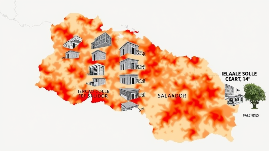
El Salvador, a small Central American nation squeezed between the Pacific subduction zone and a chain of restless volcanoes, has long been recognized as one of the most seismically exposed countries in the Americas. A new study published in the Bulletin of Earthquake Engineering now delivers something the country has never had before: a comprehensive set of probabilistic seismic hazard maps focused specifically on the vertical component of earthquake ground motion. The research, conducted by Walter Salazar of the Catholic University of El Salvador, fills a critical gap in the engineering knowledge needed to design buildings that can withstand not only the sideways lurch of an earthquake but also the sudden upward and downward jolts that often prove equally destructive.
For decades, seismic hazard assessment in most parts of the world has concentrated on horizontal ground motion, driven by the observation that lateral forces are usually the primary cause of structural collapse. Yet engineers have increasingly recognized that vertical shaking can impose severe axial demands on columns, beams, and connections, particularly in reinforced concrete frames, bridges, and base-isolated structures. Laboratory testing and post-earthquake investigations have repeatedly shown that reinforced concrete columns subjected to combined horizontal and vertical accelerations lose load-carrying capacity faster than those facing lateral motion alone, and that vertical ground motion has been implicated in damage to historical structures and modern buildings alike. Until now, El Salvador’s building codes and hazard maps have lacked a rigorous, nationally calibrated basis for quantifying that vertical threat.
The new work presents time-independent probabilistic seismic hazard maps expressed in terms of vertical peak ground acceleration and spectral ordinates at periods of 0.2 and 1 seconds, computed for 5 percent of critical damping. These values were produced for rock site conditions and flat topography across five return periods: 50, 95, 475, 975, and 2475 years. The return-period framework mirrors the conventions used in modern design standards, allowing engineers to select ground-motion intensities appropriate to the importance and intended lifespan of a structure. A 475-year return period, corresponding to roughly a 10 percent probability of exceedance in 50 years, is the traditional benchmark for ordinary buildings, while the rarer 2475-year event informs the design of critical facilities such as hospitals and emergency centers.
To construct the hazard models, Salazar employed two complementary approaches: the classical area source method and the smoothed seismicity method. The area source approach divides a region into discrete zones assumed to share uniform seismicity characteristics, a technique rooted in Cornell’s foundational 1968 formulation of engineering seismic risk analysis. The smoothed seismicity method, pioneered by Gordon Woo in the 1990s, dispenses with rigid zonation boundaries and instead spreads earthquake occurrence spatially using kernel functions, letting the historical record itself shape the hazard landscape. Using both methods within a logic tree framework allows the analysis to capture epistemic uncertainty, the uncertainty arising from incomplete scientific knowledge about where and how frequently earthquakes occur.
The seismicity evaluation draws on a homogenized earthquake catalog spanning nearly five centuries, from 1528 to 2023, with moment magnitudes ranging from 5.0 to 8.1. Bringing nearly 500 years of historical and instrumental records into a consistent magnitude scale is one of the most labor-intensive aspects of hazard analysis in developing countries, where early accounts may consist only of damage descriptions in colonial archives. From this catalog the study derived classical Gutenberg-Richter frequency-magnitude relationships, which describe the predictable inverse relationship between earthquake size and occurrence rate, as well as average kernel bandwidth distances, a measure of the typical spacing among epicenters of earthquakes of the same size that parameterizes the smoothed seismicity calculations.
A distinctive strength of the study lies in its empirical testing of vertical ground-motion prediction equations against actual accelerometer recordings from El Salvador itself. The candidate equations were evaluated against data from the two destructive earthquakes of 2001: the January 13 event of magnitude 7.7, which ruptured within the Cocos plate subduction zone offshore, and the February 13 event of magnitude 6.5, which struck in the volcanic chain zone where shallow crustal faults cut across the densely populated interior. Both earthquakes caused catastrophic losses, and their contrasting tectonic settings make them ideal calibration points for distinguishing how subduction interface and upper-crustal earthquakes transmit vertical energy to the surface. Salazar also accounted for hanging-wall effects, the amplification of shaking that occurs at sites located above the up-dip edge of a dipping fault rupture, which can substantially elevate ground motions at near-fault locations.
The weighting of competing ground-motion models in the logic tree was informed directly by how well each vertical prediction equation reproduced the observed Salvadoran recordings, rather than being assigned arbitrarily or borrowed wholesale from other regions. This data-driven calibration matters because vertical-to-horizontal spectral ratios vary widely across tectonic regimes, and models developed for Japan, Italy, Taiwan, or the Mediterranean do not necessarily transfer cleanly to Central America’s unique combination of a rapidly subducting oceanic plate and an active volcanic arc. By anchoring the model selection to local data, the study reduces one of the largest sources of uncertainty in vertical hazard estimates.
Among the study’s most practical outputs are proposed relations between horizontal and vertical map accelerations, expressed across all the return periods considered. These vertical-to-horizontal ratios provide an efficient bridge for practicing engineers: instead of requiring new vertical hazard computations for every site, designers can derive vertical design forces directly from the horizontal hazard values already in use, scaled by the locally calibrated ratios. Given that international design provisions, including the American Society of Civil Engineers’ ASCE 7-22 standard, increasingly demand explicit treatment of vertical seismic effects, such locally derived conversion factors are precisely what national code committees need to modernize requirements without embarking on a parallel hazard analysis from scratch.
The implications extend beyond structural engineering practice. El Salvador’s seismic vulnerability was starkly demonstrated in 1986, when the San Salvador earthquake destroyed thousands of buildings, and again in 2001, when the two major quakes within a month devastated communities already struggling with recovery. Recent geodetic work using GNSS and InSAR has continued to map the accumulating tectonic deformation across the country, underscoring that the forces driving the hazard remain fully active. Regional hazard models developed for sovereign parametric insurance also depend on the kind of robust, probabilistic ground-motion characterization this study provides, meaning the new vertical maps could ultimately inform not only building design but financial instruments that transfer catastrophe risk at the national scale.
For a country that sits atop one of the planet’s most active seismic engines, the message of this research is clear: the ground does not only move sideways, and the engineering community must plan for the full three-dimensional character of earthquake shaking. By combining a five-century earthquake catalog, dual seismicity modeling methods, empirically tested vertical ground-motion equations validated against Salvadoran strong-motion records, and practical hazard maps spanning return periods from 50 to 2475 years, the study gives El Salvador a technical foundation that few nations of its size possess. The work was supported by research grants from the Catholic University of El Salvador and made use of Woo’s KERFRACT Fortran code for smoothed seismicity, and it stands as a template for how data-scarce, high-hazard countries can leverage both historical archives and modern instrumental networks to quantify the risks beneath their feet.
Subject of Research: Probabilistic seismic hazard mapping of vertical earthquake ground motion components in El Salvador
Article Title: Seismic hazard maps for El Salvador: the vertical component of motion
Article References: Salazar, W. (2026). Seismic hazard maps for El Salvador: the vertical component of motion. Bulletin of Earthquake Engineering. https://doi.org/10.1007/s10518-026-02665-9
Image Credits: AI Generated
DOI: 10.1007/s10518-026-02665-9
Keywords: seismic hazard, El Salvador, vertical ground motion, probabilistic seismic hazard analysis, ground-motion prediction equations, smoothed seismicity, subduction zone, earthquake catalog, logic tree, return period, vertical-to-horizontal ratio, Bulletin of Earthquake Engineering
Cite Scienmag News
Violet Maxwell. (September 12, 2026). New Maps Reveal How Vertical Shaking Threatens El Salvador’s Buildings. Scienmag. https://scienmag.com/new-maps-reveal-how-vertical-shaking-threatens-el-salvadors-buildings/
Violet Maxwell. "New Maps Reveal How Vertical Shaking Threatens El Salvador’s Buildings." Scienmag, 12 September 2026, https://scienmag.com/new-maps-reveal-how-vertical-shaking-threatens-el-salvadors-buildings/. Accessed 12 September 2026.
Violet Maxwell. "New Maps Reveal How Vertical Shaking Threatens El Salvador’s Buildings." Scienmag. September 12, 2026. https://scienmag.com/new-maps-reveal-how-vertical-shaking-threatens-el-salvadors-buildings/


