


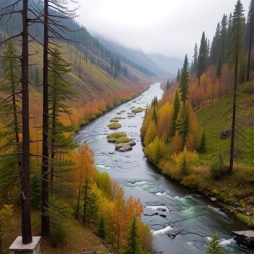
A hidden chemical story is unfolding beneath the waters of the Qinghai–Tibet Plateau, where sediments in lakes, rivers and salt lakes are recording a mixture of natural geology and modern human activity. A study of the Golmud River basin in China’s Qaidam Basin has found that seven heavy metals—cadmium, chromium, copper, lead, zinc, arsenic and manganese—are distributed unevenly across the watershed, with arsenic, copper and lead emerging as the most important contaminants. The findings suggest that the region’s seemingly remote high-altitude waters are not insulated from industrial development, road traffic or the movement of pollutants through connected aquatic systems. Instead, metals can be released from rocks, carried downstream, trapped in sediment and potentially remobilized under changing environmental conditions, creating a long-term challenge for protecting fragile ecosystems and the salt-lake resources that support regional development.
The research focused on surface sediments collected from three linked but chemically distinct environments within the Golmud River basin: flowing river channels, freshwater or inland lake systems and salt lakes. Sediment is more than passive mud at the bottom of a water body. Fine particles can bind metals to their surfaces or incorporate them into minerals, allowing contaminants to accumulate even when concentrations in the overlying water appear low. Rivers can transport this material from eroding slopes and populated or industrialized areas, while lakes and salt lakes act as settling zones where particles are deposited. Yet sediment can also become a secondary source of pollution. Changes in acidity, oxygen availability, salinity or chemical composition may weaken the bonds holding metals in place, increasing their mobility and making them available to aquatic organisms or the surrounding water.
To determine whether measured metal concentrations reflected natural background conditions or human disturbance, the researchers used several established pollution indices. The enrichment factor compares the abundance of a target metal with a relatively stable reference element, helping distinguish atmospheric or industrial enrichment from ordinary geological variation. The geo-accumulation index, commonly written as Igeo, compares observed concentrations with estimated background values while applying a correction for natural variability in sediment composition. The pollution load index provides an integrated indication of overall contamination across multiple elements. These measures do not describe exactly how a metal will behave biologically, but together they provide a screening framework for identifying locations where concentrations depart from expected background levels and where ecological monitoring should be prioritized.
The analysis revealed strong spatial heterogeneity: contamination was not spread evenly throughout the basin, and different sedimentary environments displayed different chemical signatures. That pattern is scientifically important because it points to a combination of transport, deposition and local sources rather than a single contaminant plume covering the entire watershed. The study also identified a concentration gradient associated with migration through the river–lake–salt-lake system. As sediments move, their physical characteristics change, and metals may be selectively retained, diluted or redistributed. Particles with large surface areas, including clays and organic-rich material, can efficiently adsorb metal ions. In highly saline settings, meanwhile, dissolved ions and competing chemical species can alter adsorption and desorption reactions. The result is a dynamic system in which the location of a metal in the basin may be as important as its total concentration.
Arsenic, copper and lead were identified as the primary contaminants. Each has a different environmental significance. Arsenic can occur naturally in mineral deposits and may be released through weathering, but certain chemical forms are toxic and can enter groundwater or food webs. Copper is an essential micronutrient at low concentrations but can damage aquatic organisms when levels rise, particularly in sensitive waters. Lead has no known beneficial biological role and can affect nervous-system function and development in exposed animals and people. The study does not establish direct human exposure or demonstrate that drinking water from the basin is unsafe; its measurements concern surface sediments. Nevertheless, the presence of these elements in sediment matters because bottom deposits can be disturbed by floods, changing water levels, storms, construction or resource extraction, potentially transferring contaminants into the water column.
The researchers then applied positive matrix factorization, or PMF, to estimate where the metals came from. PMF is a receptor-modeling technique that works backward from mixtures measured at environmental sampling sites. Rather than requiring every possible source to be sampled in advance, the method decomposes the observed concentration matrix into several factor profiles and estimates how much each factor contributes. In simplified form, the measured concentration of each metal at each site is represented as the sum of contributions from latent sources, plus a residual term. The model uses the covariance and co-occurrence patterns among elements: metals that rise and fall together across locations may share a source or a transport pathway. Because PMF solutions can be sensitive to uncertainties and model choices, the results are best interpreted as quantitative source estimates rather than direct fingerprints of individual facilities.
For the Golmud River basin, PMF identified three broad source categories. Natural weathering accounted for 34.26 percent of the inferred metal contribution, reflecting the breakdown of local rocks and minerals and the release of elements into soils and sediments. Industrial activities contributed the largest share, 39.19 percent, indicating that human production and resource-related activity have become a major influence on the basin’s sediment chemistry. Transportation emissions made up the remaining 26.55 percent. Road traffic can introduce metals through fuel and lubricant residues, brake wear, tire wear, road dust and the resuspension of contaminated particles. In a high-altitude watershed crossed by transport routes and undergoing economic development, these sources may be deposited directly on land or washed into channels during runoff events. The percentages describe the model’s estimated contributions across the study area, not a universal breakdown for every sampling point.
To add another layer of interpretation, the team combined PMF with a self-organizing map, or SOM, a machine-learning method designed to visualize complex, high-dimensional datasets. An SOM projects relationships among many variables onto a lower-dimensional grid while preserving, as far as possible, the similarity between data points. Samples with similar metal combinations are placed near one another, allowing clusters to emerge even when several pollution processes overlap. The approach separated the basin into three broad environmental groupings: areas strongly affected by human activity, locations influenced by mixed sources and sites resembling natural background conditions. This classification complements PMF by showing how source signatures are expressed spatially, rather than reducing the entire basin to a single average contribution.
The study’s broader warning is that the Qinghai–Tibet Plateau’s apparent remoteness should not be mistaken for chemical isolation. The plateau is ecologically sensitive, and its lakes, rivers, wetlands and salt lakes are tied to water supplies, biodiversity and valuable mineral resources. Pollution control in such a system cannot rely only on testing water at one point or treating each lake as an independent unit. The movement of sediment links upstream geology, roads, industrial areas, river channels and downstream salt lakes. Monitoring programs will need to track both metals and the environmental conditions that control their mobility, including salinity, pH, sediment composition and water levels. The authors say their results can support watershed management and the sustainable development of salt-lake resources, particularly by distinguishing natural background contributions from preventable human inputs.
The findings also illustrate why source apportionment is becoming increasingly important in environmental science. A high concentration alone cannot reveal whether pollution comes from bedrock, a factory, road dust or a combination of sources. That distinction determines what action is possible. Natural weathering may require risk surveillance and land-use planning, while industrial or transportation contributions can potentially be reduced through emission controls, improved waste management, cleaner production and stricter regulation of runoff. At the same time, the study’s conclusions should be read within its stated limits. The supplied report describes analyses of surface sediments and says that no datasets were generated or analyzed during the current study in its data-availability statement, while the abstract provides the main concentration, risk and source-apportionment conclusions. Further work involving repeated seasonal sampling, metal chemical speciation, groundwater measurements, biological uptake and isotope tracing could clarify how readily the identified contaminants move and whether they are entering local food webs. For now, the sediment record from the Golmud basin delivers a striking message: even in one of Asia’s most remote landscapes, the boundary between natural geochemistry and human pollution is becoming increasingly difficult to see.
Cite Scienmag News
Eleanor Cresswell. (August 28, 2026). Study traces heavy metals across lakes and rivers in Qaidam Basin watershed. Scienmag. https://scienmag.com/study-traces-heavy-metals-across-lakes-and-rivers-in-qaidam-basin-watershed/
Eleanor Cresswell. "Study traces heavy metals across lakes and rivers in Qaidam Basin watershed." Scienmag, 28 August 2026, https://scienmag.com/study-traces-heavy-metals-across-lakes-and-rivers-in-qaidam-basin-watershed/. Accessed 28 August 2026.
Eleanor Cresswell. "Study traces heavy metals across lakes and rivers in Qaidam Basin watershed." Scienmag. August 28, 2026. https://scienmag.com/study-traces-heavy-metals-across-lakes-and-rivers-in-qaidam-basin-watershed/


