


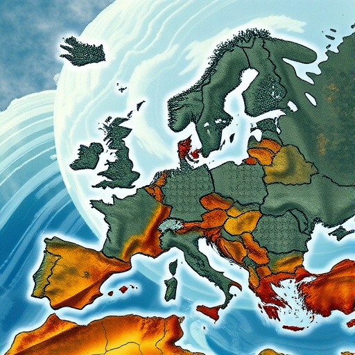
A new study published in Nature has reconstructed one of the most extraordinary episodes of flooding ever recorded in Europe: a sequence of continental-scale disasters that unfolded across 1342 and 1343. The research, led by András Kiss, Alberto Viglione and Marc Barriendos, describes the events as “cascading” floods, a term that captures how extreme water-related hazards struck different parts of the continent in succession. Rather than representing one isolated inundation, the episode appears to have involved a chain of river floods and hydrological crises that affected wide regions over an extended period. Its scale challenges the modern assumption that catastrophic flooding is primarily a local or national emergency.
The historical importance of the findings lies in the way they connect events that were often recorded separately. Medieval communities documented floods in chronicles, legal records, monastic writings and urban archives, usually from the perspective of a single town or river basin. A flood that destroyed bridges in one region might therefore appear unrelated to a disaster reported hundreds of kilometres away. By bringing these accounts into a broader geographical and chronological framework, the study identifies a pattern spanning much of Europe. The result is a new picture of the fourteenth-century climate, in which extreme rainfall and river discharge repeatedly overwhelmed societies across interconnected watersheds.
The period was especially vulnerable because medieval Europe depended heavily on rivers and low-lying floodplains. Settlements, farmland, mills, roads and trade routes were concentrated beside waterways, where access to water and fertile soils supported economic growth. Those same locations, however, were exposed to sudden rises in river levels. When intense precipitation saturated soils, water could no longer infiltrate efficiently into the ground. Runoff accelerated across hillsides and fields, feeding rivers faster than channels could carry the flow. In densely settled valleys, the resulting floods could destroy crops, erode farmland, damage defensive walls and interrupt the movement of food and goods.
A central technical challenge for the researchers was distinguishing genuinely exceptional floods from ordinary seasonal high water. Medieval documents were not written as standardized hydrological measurements, and descriptions such as “the greatest flood ever seen” can reflect local memory rather than a precise river discharge. Historical flood research therefore relies on comparison among independent sources. The timing, location and consequences of an event can be assessed alongside physical evidence, including flood sediments, changes in river channels, tree damage and other environmental indicators. Hydrological reconstruction then helps translate scattered observations into a coherent estimate of how water moved through river systems and how extreme the underlying conditions may have been.
The word “cascading” also has a precise scientific meaning in this context. It does not necessarily imply that one flood directly caused another thousands of kilometres away. Instead, it describes a sequence in which multiple hazards occur close enough in time to compound their effects. A flooded river can destroy transport links needed to deliver food or aid to another region. Saturated ground can increase the impact of later rainfall. Damage to embankments, bridges and drainage infrastructure can leave communities more exposed when the next storm arrives. In this sense, the 1342–1343 floods were not simply a collection of independent disasters; together, they formed a continent-wide stress test for human and natural systems.
The reconstructed sequence is particularly striking because it unfolded during a period when societies had few tools for forecasting or managing hydrological extremes. There were no weather models, river gauges or coordinated emergency networks capable of warning communities before a flood wave arrived. Local knowledge could identify dangerous channels and flood-prone fields, but it could not reveal how conditions were developing across an entire continent. Farmers and urban authorities often responded after water levels began rising, when evacuation, storage and food distribution were already difficult. A succession of floods would have reduced resilience with each event, leaving fewer intact bridges, animals, crops, buildings and financial resources available for recovery.
The study also offers a warning about how climate history is interpreted. Modern climate records cover only a relatively short period compared with the lifespan of rivers and societies. That limited observational window can make rare extremes appear even rarer than they truly are. Historical reconstructions extend the record backward, allowing scientists to examine whether clusters of severe floods have occurred before and under what atmospheric conditions. They can also reveal that the most dangerous risk is not always a single record-breaking event. Several floods that are individually severe but separated by only weeks or months may produce greater social damage than one isolated catastrophe because communities cannot rebuild or replenish supplies between shocks.
Understanding the atmospheric mechanisms behind the medieval floods remains essential. Extreme river discharge can result from persistent rainfall, repeated storm systems, rapid snowmelt, or combinations of these processes. Soil moisture is a critical amplifier: when the ground is already wet, additional precipitation produces disproportionately large increases in runoff. River-basin shape, elevation, land use and channel geometry then determine where water accumulates and how quickly flood waves travel. Climate models can test how shifts in temperature, circulation and precipitation might have created conditions conducive to prolonged flooding, while historical evidence provides a reality check against simulations. The value of the 1342–1343 reconstruction is therefore not limited to medieval history; it can help scientists evaluate the kinds of compound extremes that future Europe may face.
For the public, the most viral lesson from the research is also the most uncomfortable: Europe’s flood danger cannot be understood one river, city or country at a time. Water ignores political borders, and the consequences of extreme weather can travel through transportation networks, food markets, energy systems and displaced populations even when the rainfall itself remains regional. The medieval episode shows that interconnected risks are not a new feature of the modern world. What has changed is the speed and scale at which disruption can spread. By recovering the memory of the floods of 1342 and 1343, scientists are turning a centuries-old catastrophe into a warning about the importance of long records, cross-border planning and preparation for sequences of disasters rather than isolated emergencies.
Cite Scienmag News
Violet Maxwell. (August 14, 2026). Europe Endured Cascading Continental-Scale Floods in 1342–1343. Scienmag. https://scienmag.com/europe-endured-cascading-continental-scale-floods-in-1342-1343/
Violet Maxwell. "Europe Endured Cascading Continental-Scale Floods in 1342–1343." Scienmag, 14 August 2026, https://scienmag.com/europe-endured-cascading-continental-scale-floods-in-1342-1343/. Accessed 3 September 2026.
Violet Maxwell. "Europe Endured Cascading Continental-Scale Floods in 1342–1343." Scienmag. August 14, 2026. https://scienmag.com/europe-endured-cascading-continental-scale-floods-in-1342-1343/


