


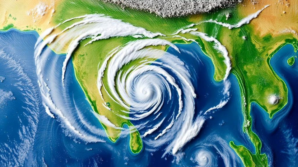
Every summer, sprawling weather systems known as monsoon low-pressure systems drift westward from the Bay of Bengal onto the Indian subcontinent, delivering a large share of the rainfall that feeds agriculture, reservoirs, and hundreds of millions of people. Yet when forecasters run numerical weather models to predict where and how hard these systems will rain once they cross the coastline, the answers often fall short. A new study published in Theoretical and Applied Climatology by Chandra Shekhar Satapathy and Sandeep Pattnaik of the Indian Institute of Technology Bhubaneswar dissects exactly why the widely used Weather Research and Forecasting model, or WRF, systematically underestimates rainfall from these systems over land, and traces the failure to a chain of coupled errors spanning the vortex, the moisture supply, and the boundary layer.
The researchers focused on ten monsoon low-pressure systems that made landfall along the east coast of India: five monsoon depressions and five deep depressions. These two categories differ in organization and intensity, with deep depressions representing stronger, more coherent circulations. The team simulated each system with WRF and then built composite averages for each category, referred to as MDC for the monsoon depression composite and DDC for the deep depression composite. To judge the simulations, they compared the model output against satellite-based rainfall estimates from the Global Precipitation Measurement mission and against the ERA5 reanalysis, a state-of-the-art gridded reconstruction of the atmosphere produced by data assimilation. The verification was carried out across six four-hourly segments spanning 48 hours of the systems’ overland evolution, labeled Day2 in the analysis.
The headline finding is stark and asymmetric. The composite of monsoon depressions showed a substantial and persistent negative rainfall bias over land, with a mean error of minus 25 percent, meaning the model consistently rained too little. The deep depression composite, by contrast, exhibited a much smaller land bias with a mean error of only minus 3 percent, and one that varied in sign rather than persisting in one direction. In other words, the model handles organized, intense systems far better than weaker, disorganized ones. The study also found that the magnitude of the errors increases sharply as rainfall intensifies, so the failures are concentrated precisely in the heavy-rain episodes that matter most for flood warning and water management.
An important nuance emerged from the timing analysis: rainfall in these systems is governed mainly by the large-scale flow rather than by diurnal forcing, the day-night cycle of heating and cooling. The authors note that any diurnal signal may be smoothed out in the composite averaging process. This matters because it points forecasters and model developers away from simple time-of-day corrections and toward the structural dynamics of the circulation itself as the root of the problem.
Tracing the bias chain backward, the study identifies a weaker lower-level vortex as the primary culprit. In the layer between 1000 and 700 hectopascals, roughly the lowest three kilometers of the atmosphere, the simulated circulations spin less strongly than observations indicate they should. A weaker vortex has two immediate consequences. First, it drives less southeasterly moisture transport, meaning the system drags less moisture-laden air inland from the Bay of Bengal. Second, it produces weaker inland moisture convergence, the process by which inflowing air masses collide and are forced upward, cooling and condensing into clouds and rain. Together, these two deficits starve the overland portion of the storm of the fuel it needs, and the rainfall deficit follows directly.
The thermodynamic side of the story is more subtle and, in some ways, more surprising. The model actually produces a near-surface wet bias over land, driven by enhanced surface latent heat flux, the evaporation of moisture from the land surface into the air above it. On its face, more evaporation should mean more moisture available for rain. But the study shows that during the peak latent heat flux window, the growth of the planetary boundary layer, the turbulent lowest layer of the atmosphere, is delayed in the model. This delay limits the vertical redistribution of that freshly evaporated moisture. Instead of being mixed upward into the mid-troposphere where it could condense into precipitating clouds, the moisture remains trapped near the surface. The mid-troposphere consequently dries out.
This mid-tropospheric drying has measurable downstream effects. The K-index, a thermodynamic measure of atmospheric instability and moisture content that forecasters use to gauge thunderstorm and heavy-rain potential, drops in the simulations. Lower instability and reduced mid-level moisture suppress the formation of hydrometeors, the collective term for liquid and solid water particles in clouds, including cloud droplets, raindrops, and ice. With fewer hydrometeors forming, rain rates fall, completing the chain from weak vortex to weak moisture transport to delayed boundary-layer growth to suppressed precipitation.
The contrast between the two composite categories carries a practical lesson. The model performs better at capturing the vortex strength and moisture transport of organized systems, the deep depressions, than of disorganized ones, the monsoon depressions. Organized circulations have stronger, more coherent dynamics that the model’s resolved physics can latch onto, whereas weaker systems depend more heavily on parameterized processes, such as boundary-layer mixing and convective parameterization, which are precisely where the identified errors originate. This suggests that forecast skill for the weaker members of the monsoon low-pressure family is limited not by the large-scale environment but by how the model represents land-atmosphere coupling.
The authors’ conclusion points to a clear target for improvement: land-surface boundary-layer coupling and vertical moisture transport over land are central to better LPS rainfall forecasts. In practice, this means refining the land surface model, in this study the Noah land surface model, and the planetary boundary layer schemes that govern how surface moisture is mixed upward. It also connects to a broader body of work showing that soil moisture influences the inland penetration of monsoon low-pressure systems, and that land use and land cover changes have measurably weakened Indian summer monsoon rainfall. The land is not a passive stage for the monsoon; it is an active participant whose representation in models can make or break a rainfall forecast.
For a country where the monsoon accounts for a dominant share of annual rainfall and where agriculture remains deeply rain-dependent, the stakes of this line of research are high. Monsoon low-pressure systems are not tropical cyclones with names and evacuation orders, but their rainfall can flood cities and farms across central and northern India. A model bias of minus 25 percent over land, concentrated in the heaviest rain events, is the difference between adequate flood preparation and being caught off guard. By dissecting the bias into its dynamical and thermodynamic components, this study gives model developers a specific, mechanistic checklist: strengthen the representation of the low-level vortex, correct the moisture transport and convergence, and fix the timing of boundary-layer growth so that surface evaporation reaches the mid-troposphere where it can become rain.
Subject of Research: Dynamical and thermodynamic causes of rainfall forecast biases in WRF simulations of monsoon low-pressure systems over India's east coast
Article Title: Dynamical and thermodynamic drivers of overland rainfall biases in WRF-simulated monsoon low-pressure systems over the east coast of India
Article References: Satapathy, C. S., & Pattnaik, S. (2026). Dynamical and thermodynamic drivers of overland rainfall biases in WRF-simulated monsoon low-pressure systems over the east coast of India. Theoretical and Applied Climatology, 157(11), Article 726. https://doi.org/10.1007/s00704-026-06657-2
Image Credits: AI Generated
DOI: 10.1007/s00704-026-06657-2
Keywords: monsoon low-pressure systems, WRF model, rainfall bias, monsoon depressions, India, Bay of Bengal, boundary layer, moisture transport, ERA5 reanalysis, GPM rainfall, land surface coupling, numerical weather prediction
Cite Scienmag News
Violet Maxwell. (October 15, 2026). Why Weather Models Underpredict Rain From India’s Monsoon Depressions Over Land. Scienmag. https://scienmag.com/why-weather-models-underpredict-rain-from-indias-monsoon-depressions-over-land/
Violet Maxwell. "Why Weather Models Underpredict Rain From India’s Monsoon Depressions Over Land." Scienmag, 15 October 2026, https://scienmag.com/why-weather-models-underpredict-rain-from-indias-monsoon-depressions-over-land/. Accessed 15 October 2026.
Violet Maxwell. "Why Weather Models Underpredict Rain From India’s Monsoon Depressions Over Land." Scienmag. October 15, 2026. https://scienmag.com/why-weather-models-underpredict-rain-from-indias-monsoon-depressions-over-land/


