


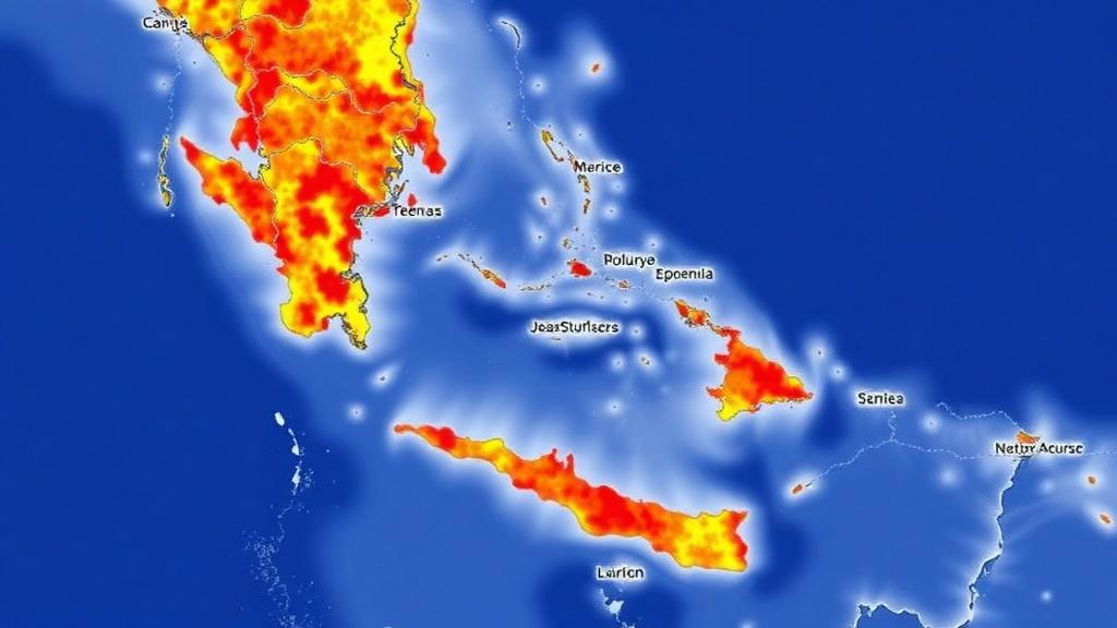
The Canary Islands have become the testing ground for a question that climate adaptation science has struggled to answer at the scale where it actually matters: not which economic sectors are vulnerable to heat, but which precise neighbourhoods concentrate heat, employment and poverty at the same time. A new study published in Regional Environmental Change by researchers at the University of La Laguna has mapped this compound burden across the entire Spanish archipelago at census-tract resolution, and its findings upend the conventional wisdom that tourism workers face climate risk because they work in tourism. The risk, the data show, follows geography, not industry.
The research team, led by Serafin Corral, assembled an unusually dense evidentiary base. They combined household income and poverty data from the Spanish statistics institute’s Atlas de Renta, firm-level employment records from the SABI business registry, and climate projections dynamically downscaled with the Weather Research and Forecasting model at a remarkably fine 3-kilometre horizontal resolution, driven by CMIP6 scenarios ranging from a Paris-compatible low-emissions pathway to a fossil-intensive high-emissions future. Of the archipelago’s 1,396 census tracts, 1,387 had complete data on all three dimensions, allowing every tract to be classified simultaneously by employment concentration, projected thermal change and residential deprivation.
The first major result is a null finding with real consequences. If climate risk in tourism economies were fundamentally sectoral, the tracts where tourism dominates employment should show systematically higher heat exposure than the rest of the territory. They do not. Across four heat indicators, including tropical nights, very hot days, heatwave days and maximum heatwave streak length, and across every future scenario, the effect sizes separating tourism-dominant from non-tourism-dominant tracts were trivial, with Cliff’s delta values below 0.15 in nearly every comparison. The only two exceptions were historical rather than future, and both were negative: in the past, tourism areas actually experienced slightly fewer heatwave days than the rest of the islands.
That counter-intuitive historical pattern has a physical explanation rooted in Canarian geography. The archipelago’s resort enclaves are without exception coastal and low-lying, where the maritime boundary layer and the quasi-permanent north-easterly trade winds cap daytime maxima. The interiors and leeward slopes, by contrast, stagnate under subsidence inversions and episodic incursions of hot Saharan air known locally as calima. The intuition imported from continental settings, that tourism concentrates in the hottest places, simply inverts on these high volcanic islands. As warming proceeds, the researchers note, that coastal advantage erodes, which is why the future effect sizes converge on zero.
But if the sectoral framing fails, the territorial framing succeeds dramatically. The intersection of high employment concentration with high residential poverty identifies 181 census tracts, just 13.1 percent of the territory, that contain 85.1 percent of tourism-dominant employment. This bivariate core proved stable regardless of how thermal burden was measured. Adding a third criterion, the projected increase in tropical nights under the high-emissions end-century scenario, isolates an even tighter cluster of 68 tracts covering 4.9 percent of the land. These 68 tracts capture 37.1 percent of the archipelago’s tourism-dominant workforce, a concentration 7.6 times above what random chance would predict, and still 2.6 times above expectation even after accounting for employment size. The team confirmed the signal with 10,000 random permutations of the cluster label, yielding an empirical probability below 0.0001.
Perhaps the most surprising feature of this triple-burden cluster is where it sits. Only 21 of the 68 tracts lie in resort municipalities. The remaining 47 are in island capitals and other urban centres, with 18 tracts in Las Palmas de Gran Canaria alone and 16 more spread across the Santa Cruz and La Laguna metropolitan area of Tenerife. Compound climate burden in the Canary Islands, in other words, is a property of dense, deprived urban employment districts at least as much as of glossy resort enclaves. The employment dimension used in the cluster definition is deliberately sector-agnostic, rewarding tracts whose employment is large and concentrated in whichever sector dominates locally, and only 22 of the 68 tracts actually meet the strict tourism-dominance criterion.
The statistical structure of the three dimensions explains why the cluster is so compact. Spatial autocorrelation analysis shows that projected tropical-night increase behaves as a smooth field, with a global Moran’s I of 0.839, and deprivation is moderately clustered at 0.435, but dominant-sector employment intensity is only weakly autocorrelated at 0.084, because Canarian employment is organised into sharply bounded enclaves rather than gradients. Intersecting a discontinuous dimension with two smooth ones necessarily produces a small, fragmented set. That compactness, the authors argue, is a feature rather than a flaw: it means adaptation funding can be concentrated on a geography small enough to target and fund.
The exposure projections translate the diagnosis into quantities that planners can cost. Under the high-emissions SSP5-8.5 scenario at end-century, worker-days of heatwave exposure across the tourism-dominant employment fabric rise 6.4-fold over the 1982 to 2019 historical baseline, from roughly 800,000 to 5.1 million worker-days per year. That implies about 64.8 heatwave days per worker annually, equivalent to some thirteen working weeks under heat-stress conditions. Crucially, the burden is not spread evenly across the calendar: between 63 and 70 percent of heatwave days fall within June to September, the window that coincides with peak hospitality staffing, amplifying the seasonal burden by a factor of roughly two relative to a uniform distribution. Mean summer heatwave days rise approximately eightfold under the same scenario.
The authors are careful to state what these numbers do and do not mean. The projections hold 2022 employment patterns fixed, assume no behavioural or institutional adaptation, and quantify exposure rather than physiological or economic impact; deriving dose-response functions linking heat exposure to health outcomes is the subject of ongoing work. The analysis also rests on a single downscaling chain, so the multipliers carry no ensemble spread, and sensitivity analyses show that the identity of the 68 tracts depends on how thermal burden is operationalised, with six defensible specifications yielding clusters that agree only weakly with one another. The team therefore presents the trivariate cluster as a defensible prioritisation within the stable bivariate core, not as a uniquely determined solution, and notes that the specification was fixed before the sensitivity analyses were run to avoid selecting on the outcome.
The policy implication is a shift in framing. Because the burdened geography is defined by where employment concentrates and where deprivation sits, rather than by which sector employs, adaptation in outermost island regions needs territorial instruments delivered by municipalities, including housing retrofit, neighbourhood cooling and residential heat-warning systems, alongside the sectoral measures such as heat-stress regulation and collective bargaining provisions that the tourism-focused literature has emphasised. Commuting data add a further nuance: roughly a quarter of the tourism-dominant jobs inside the cluster tracts are filled by workers who live outside the cluster municipalities, so workplace measures reach the full exposed workforce while residential measures reach a smaller, co-located subset. The methodological framework, combining fine-resolution downscaling, business-registry data and permutation-tested cluster analysis, is designed to be transferable to other European Outermost Regions and small island tourism economies, from Madeira and the Azores to Réunion and the Caribbean territories, where the same compound geography of heat, work and poverty may be waiting to be mapped.
Subject of Research: Sub-municipal mapping of compound climate vulnerability combining heat exposure, employment concentration and residential deprivation in the tourism-dependent Canary Islands
Article Title: Heat, employment and deprivation: compound climate burden in an island tourism economy
Article References: Corral, S., Bonal, E., Herrera, A., & Armas, F. (2026). Heat, employment and deprivation: compound climate burden in an island tourism economy. Regional Environmental Change, 26(4), Article 206. https://doi.org/10.1007/s10113-026-02692-x
Image Credits: AI Generated
DOI: 10.1007/s10113-026-02692-x
Keywords: compound climate vulnerability, Canary Islands, heat exposure, tourism economy, census tracts, CMIP6 projections, environmental justice, residential deprivation, employment concentration, tropical nights, climate adaptation, European Outermost Regions
Cite Scienmag News
Sloane Callahan. (September 30, 2026). Where Heat, Jobs and Poverty Collide: Canary Islands Map a Hidden Climate Burden. Scienmag. https://scienmag.com/where-heat-jobs-and-poverty-collide-canary-islands-map-a-hidden-climate-burden/
Sloane Callahan. "Where Heat, Jobs and Poverty Collide: Canary Islands Map a Hidden Climate Burden." Scienmag, 30 September 2026, https://scienmag.com/where-heat-jobs-and-poverty-collide-canary-islands-map-a-hidden-climate-burden/. Accessed 4 October 2026.
Sloane Callahan. "Where Heat, Jobs and Poverty Collide: Canary Islands Map a Hidden Climate Burden." Scienmag. September 30, 2026. https://scienmag.com/where-heat-jobs-and-poverty-collide-canary-islands-map-a-hidden-climate-burden/


