


Human Mobility Data Across Ten Cities Shows Pervasive Location-Specific Bias
A study of smartphone GPS mobility records across ten major US cities revealed that data production disparities are widespread and ...
A study of smartphone GPS mobility records across ten major US cities revealed that data production disparities are widespread and ...

A Boston Medical Center study found Massachusetts neighborhoods graded lowest on 1930s redlining maps had 86% higher annual opioid-related overdose ...
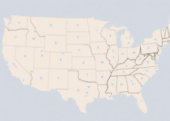
Adding anonymized smartphone place-visitation data to traditional demographic predictors measurably improved census-tract-level health measure estimation in a nationwide modeling study.

A detailed analysis of Ecological Footprints across all 83,603 populated US census tracts finds that per-capita environmental demand is highest ...
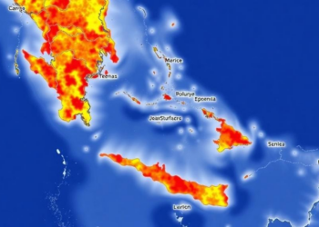
A census-tract analysis of the Canary Islands shows that compound climate burden concentrates in deprived urban employment centres rather than ...

A new Nature Communications study shows that methodological choices in environmental justice screening tools, from geographic units to thresholds, substantially ...

A nationwide factor analysis of more than 84,000 US census tracts finds that neighborhood disadvantage has shifted from a multidimensional ...


Embark on a thrilling journey of discovery with Scienmag.com—your ultimate source for cutting-edge breakthroughs. Immerse yourself in a world where curiosity knows no limits and tomorrow’s possibilities become today’s reality!