


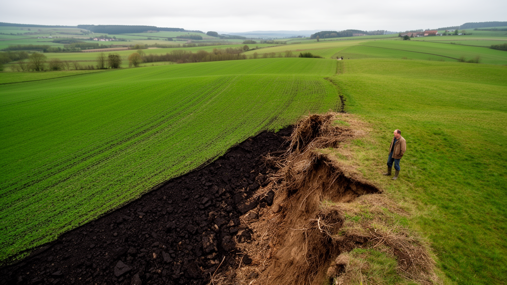
Every day, on average, nearly six hectares of Wallonia — the southern half of Belgium — slip away from fields, meadows and forests into roads, housing estates, car parks and gardens. Between 2007 and 2018, a new study calculates, 235.76 square kilometres of land were converted to artificial uses, an annual rate of 21.43 square kilometres. But the most striking finding is not how much land was lost. It is what was lost with it: a measurable collapse in the capacity of ecosystems to regulate floods, filter water, pollinate crops and store carbon, driven not just by the surface area converted but by the specific soils and terrain beneath it.
The research, published in the journal One Ecosystem, tackles a blind spot that has long plagued land-use policy across Europe. Governments typically track land-take — the conversion of natural, forested or agricultural land into urban functions — as a simple accounting problem: hectares in, hectares out. The European Union’s headline target of No Net Land-Take by 2050 is built on this logic. Yet a hectare of shallow soil on a steep slope and a hectare of deep, fertile loam are not interchangeable, and treating them as such can mask the ecological damage done when the wrong hectares disappear.
To move beyond this surface-level view, the researchers combined cadastral land-use records with detailed soil and topographic maps of Wallonia. They first identified every parcel that shifted from non-artificialised in 2007 to artificialised in 2018, drawing on four official regional and national datasets, including the Walloon land-use map and a one-metre-resolution land-cover layer. The comparison was painstaking: the team cross-checked the 2007 baseline against a national map, correcting roughly 126 square kilometres of misclassified land, and then visually inspected 286 large parcels flagged by their automated classification. Nearly a third of those — 91 parcels — turned out to be falsely labelled as artificialised and were corrected, substantially improving the reliability of the final dataset.
With the converted areas mapped, the researchers characterised each one using abiotic properties that govern how ecosystems function: soil wetness, texture, depth, hydromorphy (the signs of prolonged waterlogging), slope and aspect. From these they built a map of ecologically constrained areas — peat soils and permanently waterlogged ground, temporarily wet soils, steep slopes exceeding 20 degrees, and shallow substrates. These are places where biophysical limitations restrict intensive agriculture and construction, but which, precisely because of those constraints, often retain semi-natural vegetation and a fine-grained mosaic of habitats that supports a disproportionately high capacity for regulating services.
The numbers confirm what policy has long feared about farmland. Agricultural areas — sown pasture, annual croplands and intensive orchards — accounted for 76.10 percent of all newly-artificialised surfaces over the study period, with forests contributing a further 16.42 percent. Most conversions produced built-up, impervious surfaces such as buildings and transport infrastructure (43.30 percent), while 37.85 percent became residential gardens and parks. The pattern reflects decades of Walloon zoning policy, which designates buildable land near existing urban and village centres — historically located on fertile agricultural plateaus and in valley bottoms. Nearly 90 percent of land currently available for residential development in the region is still agricultural.
But the study’s quieter revelation concerns the soils that planners rarely fight for. Overall, 12.31 percent of land-take occurred on ecologically constrained areas — slightly less than their 15.93 percent share of the region, but far from negligible. Among these, hydromorphic alluvial and colluvial soils and non-alluvial hydromorphic soils were the most affected subtypes. These waterlogged soils, often dismissed as having limited agronomic value, are exactly the ones that excel at regulating water flow, mitigating floods and maintaining water quality. Their conversion, the authors note, echoes a long-documented pattern in which urban development has repeatedly degraded wetlands and moisture-dependent environments.
To quantify what was lost, the team built an ecosystem service capacity matrix — a table crossing land-use and soil-condition categories (the service-providing units) against sixteen ecosystem services selected by a fifteen-member expert steering committee from the regional administration. Forty-three experts from universities, government and civil society then scored each cell from 0 (not relevant) to 5 (very high capacity) during workshops in October 2021, following individual pre-scoring rounds and consensus discussions. The approach refines the widely used matrix method of Burkhard and colleagues, which traditionally relies on land-cover classes alone, by embedding soil and topographic information directly into the rows of the matrix.
The results are stark. Provisioning services were essentially annihilated: all five evaluated — from food crops to fodder and livestock production — suffered capacity reductions of 98 to 100 percent, statistically highly significant. Regulating services fared scarcely better where water was concerned. Flood risk mitigation fell by 70 percent, soil erosion control by 64 percent and surface water quality regulation by 63 percent. Pollination dropped 63 percent and global climate regulation through carbon sequestration fell 61 percent. Cultural services declined between 42 percent (recreation) and 61 percent (cultural and spiritual inspiration). Only visual screening — the buffering of views — showed a minor, statistically insignificant change.
The analysis also exposed how much expert judgement itself shapes such assessments. Variation partitioning showed that land-use classes explained about 19.1 percent of the variance in capacity scores, while soil and topographic classes accounted for only 0.43 percent — a statistically non-significant contribution. In other words, the experts weighted differences between land uses far more heavily than variation within them, even though soil condition demonstrably matters: expert scores for timber production in coniferous forests, for example, climbed from 1 on permanently waterlogged peat soils to 4.8 on unconstrained ground. The team also found that artificialised land is anything but homogeneous — sealed surfaces scored zero for erosion control, while parks and gardens scored 3.0, cereal cropland on good soils 1.8 and permanent grassland 4.8 — yet the area-weighted balance of conversions still left regulating capacity in net decline, because gains from urban green space could not offset the losses from sealing and the disappearance of high-performing grasslands.
The study’s implications reach well beyond Wallonia. Its land-take estimate of 21.43 square kilometres per year is considerably higher than the roughly 5.7 square kilometres per year reported for Belgium by the European Environment Agency, a discrepancy the authors attribute to methodology: European figures rely on satellite-derived land-cover data with minimum mapping units that miss small-scale changes, whereas regional statistics use parcel-level cadastral records. As the EU’s new Soil Monitoring Law tightens definitions of land-take and soil artificialisation, the message of this research is that counting hectares is no longer enough. Whether a converted field sits on deep fertile loam or on a waterlogged valley-bottom soil determines whether a region loses little more than a line on a map — or the invisible machinery that keeps its water clean, its floods contained and its landscapes alive.
Subject of Research: Quantifying ecosystem service capacity loss from land-take in Wallonia using soil and topographic ecosystem condition data
Article Title: Beyond surface change: assessing ecosytem services capacity loss from land-take in Wallonia
Article References: Pairon, M., & Dufrêne, M. (2026). Beyond surface change: assessing ecosytem services capacity loss from land-take in Wallonia. One Ecosystem, 11, Article e172396. https://doi.org/10.3897/oneeco.11.e172396
Image Credits: AI Generated
DOI: 10.3897/oneeco.11.e172396
Keywords: land-take, ecosystem services, soil sealing, Wallonia, No Net Land-Take, ecosystem condition, hydromorphic soils, flood regulation, capacity matrix, land-use planning, soil health, Belgium
Cite Scienmag News
Gavin Prescott. (October 16, 2026). When the ground disappears: Wallonia’s soil loss is erasing hidden ecosystem services. Scienmag. https://scienmag.com/when-the-ground-disappears-wallonias-soil-loss-is-erasing-hidden-ecosystem-services/
Gavin Prescott. "When the ground disappears: Wallonia’s soil loss is erasing hidden ecosystem services." Scienmag, 16 October 2026, https://scienmag.com/when-the-ground-disappears-wallonias-soil-loss-is-erasing-hidden-ecosystem-services/. Accessed 16 October 2026.
Gavin Prescott. "When the ground disappears: Wallonia’s soil loss is erasing hidden ecosystem services." Scienmag. October 16, 2026. https://scienmag.com/when-the-ground-disappears-wallonias-soil-loss-is-erasing-hidden-ecosystem-services/


