


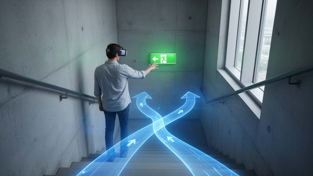
When a tsunami warning sounds in a coastal city with no nearby hills, the fastest route to safety may run upward through the nearest tall building. A new immersive virtual reality study from Chile suggests that most people can find their way to a life-saving height on their own, even without signage or prior training. Researchers built detailed 3D models of 12 existing high-rise buildings in four tsunami-prone Chilean cities and asked 227 participants to navigate them in head-mounted virtual reality during a simulated emergency. In 11 of the 12 buildings, a majority of participants spontaneously climbed to the eighth floor or higher, the minimum safe elevation recognized by Chile’s National Service for Disaster Risk Prevention and Response, reaching between 50 and 86 percent of each building’s total height. The finding offers rare behavioral evidence that ordinary buildings could serve as last-minute vertical shelters.
Tsunami vertical evacuation, the practice of escaping to structures tall enough to rise above the maximum expected flood depth, has gained momentum worldwide precisely because natural high ground is often unavailable or unreachable in time. The strategy proved itself in recent history: vertical evacuation saved thousands of lives during the 2011 Great East Japan Earthquake and Tsunami and during the 2018 tsunami in Palu, Indonesia. Countries including Japan, Indonesia, and the United States have since built dedicated evacuation towers and integrated vertical refuge facilities into new multipurpose buildings. Far less attention, however, has gone to whether the ordinary residential towers, hotels, and offices that already line vulnerable coastlines can function as improvised shelters, and how evacuees actually make wayfinding decisions once they step inside. That indoor decision-making process is the heart of the new study, published in the International Journal of Disaster Risk Science.
The research team, led by Jorge León with Eduardo Valenzuela and Javiera Castañeda, selected buildings in Arica, Iquique, Viña del Mar, and Talcahuano, three per city, drawing on an earlier study in which 435 participants had identified the 50 most frequently chosen candidate shelters using 360-degree urban panoramas. From that pool, the team prioritized structures with the largest number of preferences while maintaining diversity in occupancy type, year of construction, and distance from the waterfront. Using publicly available data and blueprints, the researchers constructed precise 3D models in Autodesk Revit and exported them into a custom application built on the Unity game engine, which participants accessed through Oculus Quest 2 headsets. The virtual exteriors included vehicles, vegetation, and animated characters to evoke a chaotic evacuation scene, and sound elements deepened the immersive atmosphere. Emergency and evacuation signage was deliberately excluded, both because the team wanted to test intuitive navigation and because accurate records of signage placement were unavailable.
Each participant experienced the simulation individually in temporary rooms set up in public spaces such as squares, municipal courtyards, and university campuses, after providing informed consent. Once familiarized with the controls, every person received a single instruction in Spanish: there is an incoming tsunami, move freely across this building to evacuate vertically until finding a location you deem safe. The experience began in front of the building, and only pedestrian movement was allowed; elevators were not considered. Because the simulation rooms were small, the system used teleportation-based movement, in which users pointed to destinations within their field of view rather than physically walking. The software recorded complete trajectories and mapped them onto the 3D models within a unified coordinate system, allowing precise alignment of distances, positions, and architectural layout. Every participant carried a unique identifier that linked the movement data to entry and exit questionnaires.
Three quantitative indicators anchored the analysis. The first was the optimal route percentage, the ratio between the total length of each participant’s path and a predefined shortest route from the entrance to the furthest safe location on the highest floor. The second was the number of direction changes, with a 20 percent deviation threshold separating minor course adjustments from significant turns; frequent sharp turns can signal spatial fragmentation, unclear wayfinding, or inefficient layout, all of which increase cognitive load and travel time. The third was a binary measure of whether each participant reached the eighth floor or higher. The researchers stressed that this last indicator is crucial, because a person can follow an apparently efficient route on lower floors yet still fail to attain a safe elevation, producing a flattering route ratio that misses the true objective.
The participant pool reflected the demographics and hazard history of the Chilean coast. The average age was 40 years, with a similar split between women and men, and 86.3 percent were Chilean, with the remaining 31 participants coming from six other Latin American countries. Notably, 58 percent reported having taken part in an actual tsunami evacuation, a figure that ranged from roughly 78 percent in Iquique to 34.6 percent in Viña del Mar, where 37 of the 52 participants were tourists. Chile was struck by major tsunamis in 2010, 2014, and 2015, and the researchers suggest this lived experience heightened participants’ awareness of the threat. By contrast, only 21 percent had joined an evacuation drill in the past year, 32 percent had conducted an indoor emergency evacuation, and fewer than half reported familiarity with the very concept of vertical evacuation.
The trajectory data told a strikingly consistent story. The average optimal route percentage across all buildings was 98.2 percent, with a median of 101.7 percent, indicating that participants generally identified efficient paths through unfamiliar interiors. Standout performers included the Edificio O’Higgins and Hanga Roa buildings in Viña del Mar and the Novotel in Arica, while the largest deviations appeared in the 5 Norte building in Viña del Mar at 159.0 percent, the Gran Cavancha Hotel and Apartment in Iquique at 127.7 percent, and Edificio Portal Colón in Talcahuano at 124.4 percent. Crucially, route efficiency showed no consistent relationship with building height or primary use. High inefficiency occurred across all path lengths, which points the finger at each building’s internal layout complexity rather than the inherent length of the optimal route. Direction changes clustered in specific buildings, with Edificio Empresarial I requiring 481 on average, followed closely by Gran Cavancha and Terrado Cavancha.
The exit questionnaire added a perceptual layer to the behavioral data. Floor height emerged as the dominant factor in deciding where to stop climbing, earning an average importance rating of 4.8 on a scale of 1 to 5 and never falling below 4.5 in any building. The presence of windows scored just 3.4 and the presence of other people 2.9, though the latter varied widely across sites. Participants rated their sense of immersion between 5.4 and 5.7 on a 7-point scale, and perceived realism of individual environment components between 5.3 and 5.8. Symptoms such as dizziness, nausea, headaches, and disorientation received very low scores between 0.2 and 0.8, and between 73.3 and 100 percent of participants reported no other discomfort, suggesting the virtual experience was well tolerated.
A multivariate regression on a composite performance index, which combined standardized measures of direction changes, route deviation, and safe-floor attainment, identified age as the most consistent independent predictor of poorer evacuation performance. The researchers caution this may partly reflect older participants’ unfamiliarity with virtual reality hardware, but they argue it signals that preparedness strategies should account for age-related differences in orientation, movement confidence, and decision-making speed. Buildings in Iquique were associated with more direction changes and lower odds of reaching the eighth floor relative to the Arica baseline, likely reflecting differences in spatial layout, internal visibility, stair configuration, and route legibility. Gender, nationality, and local residence showed no strong independent effects once context was controlled, though the team notes this absence of statistical significance should not be read as proof of no effect.
The authors are candid about the study’s limits. Teleportation eliminates physical effort and may lower cognitive load, so the observed route performance likely represents an upper-bound estimate that real-world fatigue, crowding, and time pressure could substantially erode. For ethical reasons, the simulation deliberately excluded time pressure, stair-climbing fatigue, and collective behaviors such as panic, focusing instead on tactical decision making. Future work could add rising water levels, social interactions, objective layout metrics, and tests of whether existing signage helps or misleads evacuees. Structural studies are also needed, since current Chilean design codes address seismic and wind hazards but not combined seismic-tsunami loading. Even so, the study demonstrates that virtual reality can probe indoor tsunami evacuation behavior at scale, and it strengthens the case that the buildings already standing on Chile’s coast may hold untapped life-saving potential.
Subject of Research: Tsunami vertical evacuation decision making inside high-rise buildings, studied with immersive virtual reality in Chile
Article Title: Tsunami Vertical Evacuation Decision Making in High-Rise Buildings: Insights from an Immersive Virtual Reality Study in Chile
Article References: León, J., Valenzuela, E., & Castañeda, J. (2026). Tsunami Vertical Evacuation Decision Making in High-Rise Buildings: Insights from an Immersive Virtual Reality Study in Chile. International Journal of Disaster Risk Science. https://doi.org/10.1007/s13753-026-00777-z
Image Credits: AI Generated
DOI: 10.1007/s13753-026-00777-z
Keywords: tsunami, vertical evacuation, virtual reality, high-rise buildings, wayfinding, Chile, disaster preparedness, evacuation behavior, decision making, coastal hazards, immersive simulation, building layout
Cite Scienmag News
Denise Maddox. (October 26, 2026). Virtual Reality Reveals How People Choose Tsunami Escape Routes Inside High-Rise Buildings. Scienmag. https://scienmag.com/virtual-reality-reveals-how-people-choose-tsunami-escape-routes-inside-high-rise-buildings/
Denise Maddox. "Virtual Reality Reveals How People Choose Tsunami Escape Routes Inside High-Rise Buildings." Scienmag, 26 October 2026, https://scienmag.com/virtual-reality-reveals-how-people-choose-tsunami-escape-routes-inside-high-rise-buildings/. Accessed 26 October 2026.
Denise Maddox. "Virtual Reality Reveals How People Choose Tsunami Escape Routes Inside High-Rise Buildings." Scienmag. October 26, 2026. https://scienmag.com/virtual-reality-reveals-how-people-choose-tsunami-escape-routes-inside-high-rise-buildings/


