


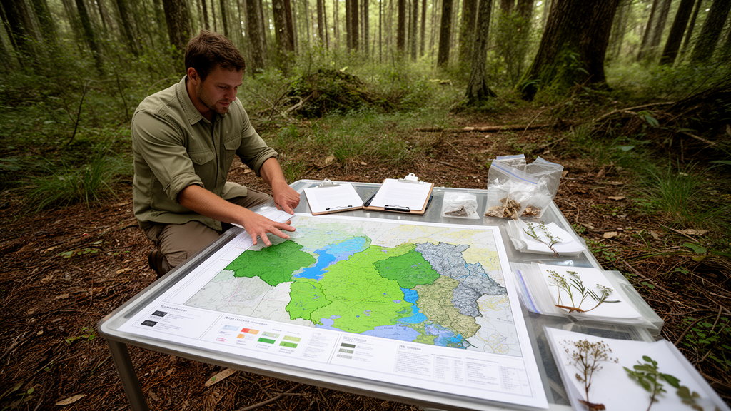
A field-based vegetation survey of the 7,407-hectare Telperion Nature Reserve in South Africa’s Mpumalanga province identified and mapped 22 plant communities, including 14 sub-communities and 13 variants grouped within five major habitat types. The survey recorded 551 plant species from 107 families and 332 genera across ravine woodland, valley-bottom wetlands, riparian woodland, plateau grassland and rocky ridge woodland. The findings describe a single reserve as a mosaic of habitats associated with differences in topography, soil, slope, rock cover and water availability, rather than as a uniform grassland.
The reserve lies about 25 kilometres east of Bronkhorstspruit near the boundary between Gauteng and Mpumalanga, at 25°38′24″ south and 28°44′24″ east. Telperion belongs to the Bankenveld, a mesic highveld region that includes endangered Rand Highveld grassland, smaller areas of Eastern Highveld grassland and rocky sections classified as Loskop Mountain Bushveld. Its terrain comprises undulating hills, open plateaus, steep slopes and rocky ridges, with altitudes ranging from 1,240 to 1,503 metres above sea level.
The region receives 570–730 millimetres of rain annually, mainly during the summer rainfall season. February is the hottest month, with an average daily maximum of 26.4 °C and minimum of 15.1 °C, while July has an average daily maximum of 18.4 °C and minimum of 4.2 °C. Researchers used a 1:10,000-scale aerial photograph to divide the reserve into physiognomic-physiographic units, followed by ground reconnaissance to identify relatively homogeneous areas.
They then placed 294 randomly stratified plots of 100 square metres within those units, allocating more plots to larger units and at least three to each unit. Ecotones were not sampled. All plant species in each plot were recorded and assigned cover-abundance values using a modified Braun-Blanquet scale.
Plot-level environmental observations included slope, aspect and soil type, together with trampling, overgrazing, bare soil, alien plants, animal droppings, signs of browsing and evidence of former fields. The field records were entered into TURBOVEG and analysed in JUICE, a Windows application for editing and classifying large phytosociological tables. A modified TWINSPAN analysis, based on species presence and absence and a phi coefficient of association, produced an initial division of the plots into plant communities.
The researchers refined this classification through Braun-Blanquet procedures and grouped related species manually without rearranging the statistically derived clusters. Diagnostic, constant and dominant species were identified from a synoptic table using stated thresholds for fidelity, frequency and canopy cover. Species richness was calculated from the total number of species in each community, while diversity was assessed with the Shannon-Wiener and Rich-Gini-Simpson indices and converted to effective species numbers for comparison.
A Kruskal-Wallis test and Dunn post hoc comparisons were used to evaluate differences among the classified communities. Five broad communities captured the reserve’s ecological structure. The smallest, covering 18 hectares or 0.3% of Telperion, was Cyathea dregei–Ilex mitis ravine woodland on steep, moist and rocky slopes.
The Paspalum urvillei–Phragmites australis valley-bottom wetland occupied 266 hectares, or 3.6%, beside streams, drainage lines, seepage areas and ground that was permanently or seasonally wet. The Diospyros lycioides–Combretum erythrophyllum riparian woodland followed the Wilge River and associated streams. Rocky ridge woodland dominated by Combretum molle and Englerophytum magalismontanum covered 2,796 hectares, or 38% of the reserve, while Eragrostis curvula–Seriphium plumosum mid-plateau grassland was the largest community, extending across 4,267 hectares, or 58%.
The mid-plateau grassland contained evidence of a long history of cultivation, pasture planting and grazing. After the land was incorporated into Telperion, many sections were left fallow, although grazing and browsing by ungulates continued. Old crop fields, remnants of agricultural equipment, bare patches, erosion, animal paths and localized overgrazing were recorded in the community.
The grasses Eragrostis curvula and Seriphium plumosum were conspicuous in disturbed areas, while less disturbed sections contained prominent palatable grasses such as Themeda triandra, Digitaria eriantha and Setaria sphacelata. Dense stands of the dwarf shrub S. plumosum displaced native grasses in some formerly cultivated sections. The study noted that this encroacher can reduce grazing capacity by as much as 80% and can contribute to lower plant diversity, although it was also present in some wetter areas.
Rocky ridge woodland had the greatest plant richness and effective diversity. Differences in slope, altitude, exposure, rock cover and the shelter provided by stones and woody vegetation created numerous small habitats within this community. Geophytes including Haemanthus humilis, Xerophyta retinervis, Crassula setosa and Zantedeschia rehmannii were recorded in moist-to-dry rock crevices, and variable canopy cover provided additional protected microsites.
The Eragrostis curvula–Seriphium plumosum–Eragrostis racemosa grassland sub-community and two rocky-woodland sub-communities had the highest species richness and effective species diversity. By contrast, the valley-bottom wetland had the lowest overall diversity. Dense Phragmites australis stands occupied much of this habitat, leaving relatively few other species able to establish between the reeds.
The invasive shrub Rubus rigidus formed dense patches on southern ravine slopes and displaced native vegetation. Alien trees recorded in riparian and wetland zones included Acacia mearnsii, Eucalyptus camaldulensis, Sesbania punicea and a poplar taxon identified in the classification as Populus × canescens. In one wetland sub-community, dense poplar stands had displaced most native plant species and had the lowest richness and diversity in the study.
The classification also recorded pioneer weeds including Bidens pilosa and Tagetes minuta as constant in both riparian sub-communities, alongside evidence of animal activity and periodic flooding. Riparian structure was nevertheless associated with little to no erosion in parts of the community, and large woody species, including Combretum erythrophyllum, Celtis africana and Acacia mearnsii, can help bind and stabilize riverbank soils. Wetlands contained grazing animals, trampling paths, sleeping and drinking sites, dung and slight erosion along disturbed sections.
Rocky woodland showed trampling, termite mounds, moribund grasses and bare patches, and field observations included baboons, giraffes, small mammals and porcupines. Animal influence was also apparent in the Burkea africana woodland patches, where many sprouting trees were associated with possible disturbance from fire, browsing or porcupine scarring. Diversity differed significantly among the 14 classified sub-communities.
The Kruskal-Wallis analysis produced a chi-square value of 754.1 for 271 observations and a probability below 0.05. Dunn post hoc comparisons found significant differences in 79% of the 91 possible community pairs. The three communities with the greatest richness were also among those with the highest effective diversity, while the steep ravine communities had lower effective numbers of species than several plateau and rocky habitats.
The survey is a detailed local classification of one privately owned reserve rather than a controlled experiment or a continent-wide comparison. Its results therefore provide a site-specific ecological record that can be incorporated into management planning for Telperion and used as baseline information when considering adjacent natural areas.
Subject of Research: Vegetation classification, plant diversity and habitat mapping at Telperion Nature Reserve
Article Title: A vegetation classification and description of Telperion Nature Reserve, Mpumalanga, South Africa
Article References: Brown, L. R., Magagula, I. P., & Barrett, A. S. (2022). A vegetation classification and description of Telperion Nature Reserve, Mpumalanga, South Africa. Vegetation Classification and Survey, 3, 199-219. https://doi.org/10.3897/vcs.85209
Image Credits: AI Generated
DOI: 10.3897/VCS.85209
Keywords: Telperion Nature Reserve, South African grasslands, Bankenveld, plant communities, phytosociology, Braun-Blanquet survey, TWINSPAN classification, vegetation mapping, plant diversity, Mpumalanga, vegetation, classification
Cite Scienmag News
Margaret Porter. (October 20, 2026). Vegetation survey maps 22 plant communities across Telperion reserve. Scienmag. https://scienmag.com/vegetation-survey-maps-22-plant-communities-across-telperion-reserve/
Margaret Porter. "Vegetation survey maps 22 plant communities across Telperion reserve." Scienmag, 20 October 2026, https://scienmag.com/vegetation-survey-maps-22-plant-communities-across-telperion-reserve/. Accessed 20 October 2026.
Margaret Porter. "Vegetation survey maps 22 plant communities across Telperion reserve." Scienmag. October 20, 2026. https://scienmag.com/vegetation-survey-maps-22-plant-communities-across-telperion-reserve/


