


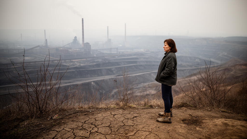
In the coal-mining city of Asansol in West Bengal, India, the landscape tells a story of loss measured in satellite pixels and human stress. A new study published in SN Social Sciences has combined three decades of satellite imagery with on-the-ground surveys to reveal that as the city’s vegetation has been stripped away by mining, industry and urban expansion, the wellbeing of its residents has suffered in ways that can now be quantified. The research, led by geographers at Kazi Nazrul University in Asansol together with a public health researcher at Manipal Academy of Higher Education, offers one of the most detailed portraits yet of how green space decline plays out in a medium-sized industrial city of the Global South, a setting that has long been overshadowed in the literature by megacities such as Mumbai, Delhi and São Paulo.
The spatial analysis is stark. Using Landsat satellite data from the United States Geological Survey, processed through supervised classification with the Maximum Likelihood algorithm in ArcGIS 10.7, the team mapped land use and land cover across Asansol’s 127.3 square kilometres for the years 1990, 2000, 2010 and 2020. The classification scheme distinguished six categories: water, dense vegetation, sparse vegetation, agriculture, built-up land and fallow land. Accuracy was assessed against Google Earth reference imagery using thirty independent validation points per decade, yielding an overall classification accuracy of 87.49 percent. The results showed that sparse vegetation, the dominant form of greenery in the city, fell from 10.17 percent of the land area in 1990 to just 4.8 percent by 2020, a decline of more than five percentage points over thirty years. Dense vegetation, already scarce at 0.53 percent in 1990, slipped marginally to 0.42 percent. In absolute terms, the area covered by greenery was cut roughly in half, from 12.95 square kilometres to 6.10 square kilometres.
The built-up story mirrors the botanical one. Built-up areas expanded by more than ten percentage points across the study period, while agricultural land contracted dramatically from 29.26 percent of the city in 1990 to 15.62 percent in 2020. Together, these figures describe a city converting its vegetated and cultivated periphery into dense urban fabric at a pace that outstripped most planning controls. Asansol’s trajectory is rooted in its industrial history: the discovery of coal and the arrival of the East Indian Railway in the mid-nineteenth century set the city on a path of extraction and heavy industry, and the establishment of coal mines, steel plants and associated infrastructure drove extensive deforestation and land degradation. The authors note that the pattern they document in Asansol echoes broader trends across rapidly urbanizing cities of the Global South, where economic and infrastructural development has consistently been prioritized over vegetation cover.
What distinguishes this study from most land-change research is its insistence on pairing the satellite record with the human dimension. The researchers conducted a pilot survey in June 2024 to refine their questionnaire, then carried out the main survey in June and July 2024 in gardens, community parks and playgrounds across the city, using purposive sampling of residents who regularly spend time outdoors. Fifty respondents completed the survey, 76 percent of them men and 60 percent aged between 18 and 33. Respondents reported on their demographic characteristics, mobility, perceived wellbeing, community engagement and eco-friendly practices, allowing the team to test statistically how green space use relates to stress and social cohesion rather than simply assuming a link from the environmental literature.
The first statistical test, a multinomial logistic regression, treated perceived stress in daily life as a three-level dependent variable, low, moderate and high, with low stress as the reference category, and entered three predictors: frequency of visits to urban green spaces, distance from home to those spaces, and duration of time spent in them. The overall model was statistically significant, with a chi-square of 28.607 and a p-value of 0.005, and the pseudo R-square statistics indicated moderate explanatory power, with Nagelkerke’s R-squared reaching 0.501, meaning roughly half the variation in perceived stress could be explained by the predictors. Within the model, the likelihood ratio tests revealed a clear hierarchy. Duration of time spent in green spaces was the strongest predictor of stress levels, with a p-value of 0.007, followed by proximity, measured as distance of green space from home, which was significant at p = 0.029. Frequency of visits, by contrast, showed no statistically significant association, with a p-value of 0.538.
That last result is perhaps the most counterintuitive and the most consequential for urban policy. Simply visiting green spaces often, the data suggest, does not by itself reduce stress; what matters is how long people stay and how easily they can reach greenery from home. The parameter estimates for long and moderate durations of exposure showed strongly negative coefficients relative to the short-duration reference category, indicating that prolonged immersion in green settings substantially lowers the likelihood of reporting moderate or high stress. The authors caution that some coefficients in the model, particularly those accompanied by zero standard errors, reflect sparse data or complete separation in certain category combinations and should not be interpreted substantively. Even so, the overall pattern aligns with international evidence, including a large meta-analysis by Twohig-Bennett and Jones linking greenspace exposure to reduced risks of high blood pressure and type II diabetes, and cross-national work by White and colleagues associating regular contact with green and blue spaces with lower depression and anxiety.
The second statistical test shifted from individual stress to collective life. An ordinal logistic regression, a proportional odds model with a logit link, examined how social interaction within green spaces and participation in community events held there influenced respondents’ perception of community strengthening, an ordered outcome ranging from disagree to agree. The model was significant at p < 0.01, and its predictors explained between 36 and 47 percent of the variation in perceived community strengthening. Social interaction emerged as the dominant predictor: respondents who always, often, or even rarely interacted with others in green spaces were significantly more likely to report stronger community bonds than those in the reference category, with estimates of 3.361 for always, 3.360 for often and 4.568 for rarely, all statistically significant. Participation in organized community events, by contrast, had minimal influence once other factors were accounted for, with only the rarely category reaching significance. The implication is subtle but important: communities grow stronger through informal, everyday encounters in shared green settings, not necessarily through formal programming.
Respondents’ own narratives reinforced the quantitative findings. Most strongly agreed that greenery enhances residential wellbeing and described, with evident regret, the loss of vegetation Asansol has experienced over recent decades. The study’s conceptual framework frames these effects as operating through both direct and indirect pathways: directly, through psychological restoration, stress relief and mood enhancement, consistent with classic work by Ulrich and by Bratman on nature’s cognitive and emotional benefits; and indirectly, through physical activity, walkability, social contact and exposure to biodiversity. Green spaces with jogging tracks, seating, lighting and open ground encourage exercise, which in turn reduces risks of obesity, diabetes and cardiovascular disease, particularly among older adults, while community gardens and neighbourhood parks foster the social capital that underpins belonging and mutual support.
For a densely built city where most land is already committed to private and institutional uses, the authors argue that large new parks are rarely feasible, and they point instead to decentralized greening strategies: rooftop gardens, green walls, courtyard and backyard gardens, community gardens and roadside plantations. Photographic documentation from the study shows rooftop gardening, a green wall at Asansol railway station and pond-side tree planting in the Gopal Nagar neighbourhood, illustrating that these approaches are already taking root. The team recommends integrating green infrastructure formally into urban planning, ensuring equitable access across neighbourhoods, and encouraging community participation, noting that marginalized low-income communities typically have fewer quality green areas and therefore receive fewer of the health benefits greenery provides.
The study is candid about its limitations. It relies on self-reported measures of wellbeing and perceptions of green space quality, which are vulnerable to bias; its sample of fifty respondents was drawn from selected neighbourhoods, limiting generalizability; seasonal variation in green space use was not examined; and socioeconomic inequalities and gender differences in access were not analysed. Nevertheless, the integration of remote sensing with survey-based regression modelling in a single analytical framework is a methodological step forward for research on medium-sized industrial cities in eastern India. The broader message is that green infrastructure is not decoration but a strategic instrument of public health and social cohesion, and that for cities like Asansol, bridging an industrial heritage with environmental foresight through evidence-based planning and active public participation offers a credible path toward a healthier, more inclusive and more resilient urban future.
Subject of Research: Urban green space accessibility and its effects on health and wellbeing in the mining city of Asansol, West Bengal
Article Title: Accessibility to urban green spaces and its influence on human health and wellbeing in Asansol, West Bengal
Article References: Das, D., Haque, M. S., Jahangir, S., Choudhury, S., & Fatma, K. (2026). Accessibility to urban green spaces and its influence on human health and wellbeing in Asansol, West Bengal. SN Social Sciences, 6(10), Article 439. https://doi.org/10.1007/s43545-026-01711-2
Image Credits: AI Generated
DOI: 10.1007/s43545-026-01711-2
Keywords: urban green spaces, Asansol, West Bengal, land use land cover, remote sensing, stress reduction, social cohesion, logistic regression, urban planning, green infrastructure, public health, mining city
Cite Scienmag News
Phoebe Ingram. (October 9, 2026). Vanishing Green: How a Coal City’s Lost Vegetation Is Eroding Health and Community. Scienmag. https://scienmag.com/vanishing-green-how-a-coal-citys-lost-vegetation-is-eroding-health-and-community/
Phoebe Ingram. "Vanishing Green: How a Coal City’s Lost Vegetation Is Eroding Health and Community." Scienmag, 9 October 2026, https://scienmag.com/vanishing-green-how-a-coal-citys-lost-vegetation-is-eroding-health-and-community/. Accessed 9 October 2026.
Phoebe Ingram. "Vanishing Green: How a Coal City’s Lost Vegetation Is Eroding Health and Community." Scienmag. October 9, 2026. https://scienmag.com/vanishing-green-how-a-coal-citys-lost-vegetation-is-eroding-health-and-community/


