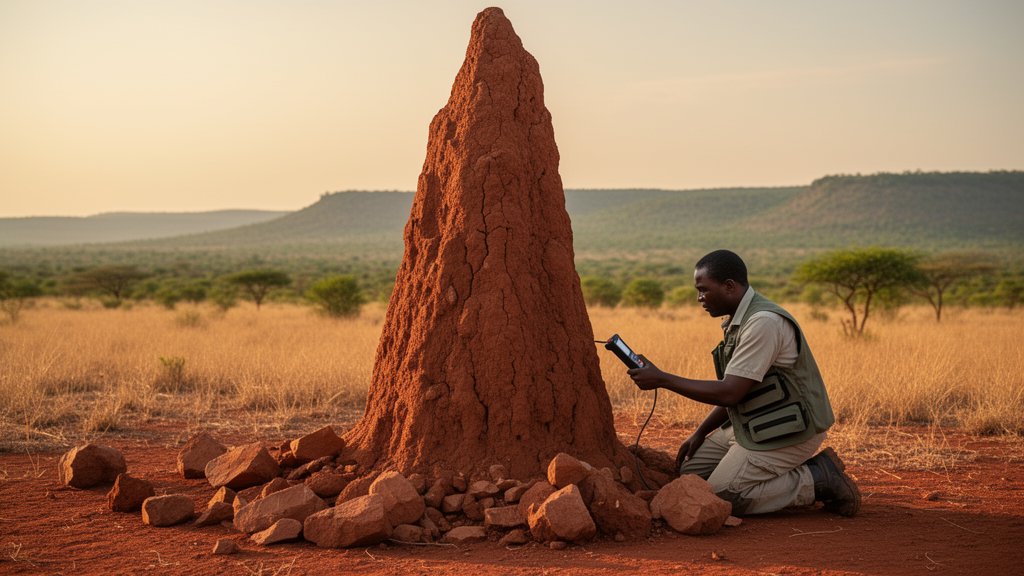
In the geologically complex Bashar area of Nigeria’s Upper Benue Trough, researchers have turned to an unusual sampling medium for mineral exploration: termite mounds. A new open-access study published in Discover Minerals on 16 September 2026 reports that anthill materials in this part of Plateau State preserve measurable concentrations of the naturally occurring radioelements uranium, thorium and potassium, and that the spatial pattern of these concentrations corresponds with mapped lithological and structural variations across the study area. The work, led by Okopi Johnson Odumu with colleagues Nansak Bitrus Rimven, Raymond Ishaya Daspan and Edimeh Isaac Abalaka, evaluates whether these biological structures can serve as a practical reconnaissance tool in tropical terrains where thick weathering profiles, laterization and sediment cover often obscure the geochemical signals of the bedrock beneath.
The field campaign was substantial in scope. The team acquired 234 in situ radiometric measurements using a portable handheld gamma-ray spectrometer, the RS-230 scintillometer. Of these, 120 were taken on anthills, with the remainder distributed across shale (21), sandstone (55), granite (5), pegmatite (5), dolerite (18) and gneiss (10) measurement locations. Sampling followed a randomized systematic strategy designed to represent the major lithological units and geomorphological settings, with a minimum spacing of roughly 10 metres between adjacent points to limit spatial autocorrelation and duplicate sampling. All surveys were conducted under uniform dry-season conditions, restricted to sun-exposed mounds, and confined to a fixed daily window between 10 a.m. and noon, with a constant counting time of 60 seconds for every reading. Instrument calibration and standard background corrections were applied before data acquisition.
The headline numbers are striking for a sampling medium built by insects. Across the anthills, mean concentrations were 4.18 parts per million uranium, 13.75 parts per million thorium and 9,800 parts per million potassium, equivalent to 0.98 percent. The average radiometric dose rate across the measured mounds was 83.877 nanosieverts per hour. Extremes were considerable: uranium ranged from 0.7 to 13.6 parts per million, potassium from zero to 43,000 parts per million (4.3 percent), and thorium from 2.7 to 79.9 parts per million. The mean thorium-to-uranium ratio was 3.67, with individual values spanning 0.74 to 14.79. Following the radiometric survey, ten representative anthill samples, chosen to span the range of radiometric responses, were analysed for elemental composition using a Thermo Fisher Scientific Niton XL2 X-ray fluorescence analyzer in mining and exploration mode, with samples taken from the inner portions of the mounds to minimize contamination.
Interpreting these values depends on diagnostic elemental ratios, and here the study offers a careful framework. Thorium-to-uranium ratios above about 4 generally indicate thorium enrichment and possible uranium depletion, while values below roughly 2.5 point to uranium enrichment; the typical crustal range lies between 3 and 5. Elevated ratios may also signal the presence of resistant accessory minerals such as monazite, zircon and ilmenite. In the Bashar data, elevated Th/U values in parts of Jarmai, Bashar, Zurak and Sabon-Gari may indicate relative thorium enrichment and the possible presence of thorium-bearing accessory minerals. The thorium-to-potassium ratio, widely used as an indicator of hydrothermal alteration because it is relatively insensitive to lithological variation, was highest in the northern quadrant around Bashar and Jarmai, while the uranium-to-potassium ratio also peaked in the northern quadrant. The authors are explicit that these anomalies are potential targets for further investigation rather than definitive evidence of potassic alteration.
The spatial patterns align closely with the local geology. The Bashar area, mapped on the 1:100,000 topographic sheet 192 within Dengi and Wase Local Government Areas, comprises seven lithostratigraphic units: the crystalline basement, the Yolde Formation, the Pindiga Formation, the Gombe Formation, the Kerri-Kerri Formation, volcanic rocks and recent alluvium. Potassium concentrations were highest in the northeastern quadrant towards Dengi and Bashar, reaching 5.0 to 6.8 percent, while thorium values peaked in the central and southwestern parts of the study area, particularly around Bashar and towards Dengi within the Pindiga Formation, where they ranged from 28.2 to 79.9 parts per million. Uranium, by contrast, is more variable and generally less stable, consistent with its geochemical mobility under near-surface oxidizing conditions, where it can be leached, redistributed or secondarily concentrated depending on local redox conditions, drainage and permeability. Localized uranium highs in the northeastern sector coincide with exposures of the Pindiga Formation, whose silty shales and fine-grained sandstones favour uranium adsorption owing to their clay content and large surface area.
The XRF results add compositional context. The dominant component in every sample was the unquantified residue, recorded as the balance, which constituted roughly 79 to 94 percent of the total composition, suggesting the bulk of the material consists of silicate minerals such as quartz, feldspar and other aluminosilicates. Subordinate iron-, titanium-, calcium-, potassium-, zirconium-, rubidium- and locally thorium-bearing phases were also recorded. Elevated iron and titanium in several samples may reflect contributions from oxide-rich or heavy-mineral-bearing material, while zirconium enrichment is consistent with resistant accessory phases in the sediment fraction, although the authors stress that direct mineralogical confirmation is still required before specific minerals can be identified. Geochemical associations of iron with titanium and of potassium with rubidium suggest contributions from oxide minerals and felsic source materials, respectively.
Statistical analysis reinforced these associations. Pearson product-moment correlation analysis on the ten anthill samples, excluding identifiers, analytical residuals and elements below the detection limit or detected in too few samples, revealed that titanium correlates very strongly and positively with calcium and niobium, zinc correlates strongly with niobium and manganese, and iron shows a strong positive association with zirconium and strontium. Strontium, in contrast, displays moderate to strong negative correlations with calcium, titanium, manganese and niobium, suggesting contrasting geochemical behaviour or different mineral hosts, while potassium correlates moderately and negatively with zirconium. These relationships, the authors argue, support the interpretation that the radiometric anomalies are controlled primarily by lithologic composition, weathering and sedimentary concentration processes within the study area.
Contextual comparisons with regional data lend the findings coherence. The mean thorium concentration of 13.75 parts per million from Bashar’s anthill materials is comparable to a mean of 14.83 parts per million reported for the Middle Benue Trough and a range of 11.88 to 22.89 parts per million in parts of the Upper Benue Trough. The mean uranium value of 4.18 parts per million closely corresponds to a regional baseline mean of 3.72 parts per million for the middle Benue Trough, and the average potassium concentration falls within the regional range of 0.11 to 2.75 percent. The authors interpret this agreement as evidence that the radiometric characteristics of the Bashar area are governed by lithological and geological processes common to the Benue Trough, including the influence of feldspar-bearing sedimentary units, basement-derived detrital materials and weathering-related element redistribution.
The study’s most important caveat concerns validation. Surrounding soils were not sampled or analysed, so no direct comparison could be made between anthill material and adjacent soil profiles, and no paired comparisons with underlying bedrock were undertaken either. The authors therefore regard anthills as a potentially useful reconnaissance sampling medium rather than a fully validated exploration tool, and they recommend systematic paired anthill-soil sampling to establish reliability and broader applicability. Further limitations include constrained spatial coverage from accessibility and terrain, surface-only spectrometer readings that may underestimate subsurface variation, XRF sensitivity thresholds that may have excluded ultra-trace mineral phases, and the absence of direct mineralogical validation by techniques such as SEM-EDS, XRD or petrographic analysis. Within those bounds, the identified anomalies stand as reconnaissance guides for follow-up work through detailed soil geochemistry, mineralogical analysis and higher-resolution radiometric surveying, and the broader vision, of termites acting as natural subsurface samplers that bring mineral grains and fine sediments upward from several metres below the surface, remains an economical and non-destructive prospect for exploration in deeply weathered tropical terrains.
Subject of Research: Radiometric and geochemical signatures of anthill materials as preliminary mineral exploration indicators in the Bashar area of the Upper Benue Trough, Nigeria
Article Title: Radiometric and geochemical indicators in anthills as guides for mineral exploration in Bashar Upper Benue Trough North Central Nigeria
Article References: Odumu, O. J., Rimven, N. B., Daspan, R. I., & Abalaka, E. I. (2026). Radiometric and geochemical indicators in anthills as guides for mineral exploration in Bashar Upper Benue Trough North Central Nigeria. Discover Minerals, 3(1), Article 9. https://doi.org/10.1007/s44346-026-00020-z
Image Credits: AI Generated
DOI: 10.1007/s44346-026-00020-z
Keywords: anthills, termite mounds, gamma-ray spectrometry, mineral exploration, Upper Benue Trough, Nigeria, uranium, thorium, potassium, XRF, radiometric anomalies, geochemistry
Cite Scienmag News
Violet Maxwell. (October 28, 2026). Termites as prospectors: anthills flag radiometric anomalies in Nigeria’s Benue Trough. Scienmag. https://scienmag.com/termites-as-prospectors-anthills-flag-radiometric-anomalies-in-nigerias-benue-trough/
Violet Maxwell. "Termites as prospectors: anthills flag radiometric anomalies in Nigeria’s Benue Trough." Scienmag, 28 October 2026, https://scienmag.com/termites-as-prospectors-anthills-flag-radiometric-anomalies-in-nigerias-benue-trough/. Accessed 29 October 2026.
Violet Maxwell. "Termites as prospectors: anthills flag radiometric anomalies in Nigeria’s Benue Trough." Scienmag. October 28, 2026. https://scienmag.com/termites-as-prospectors-anthills-flag-radiometric-anomalies-in-nigerias-benue-trough/