

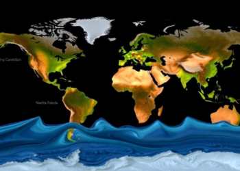
Satellites Map When Rivers Peak: Global Flood Timing Is Shifting Unevenly
A new satellite altimetry study has produced the first global map of river flood peak timing, revealing earlier peaks at ...
A new satellite altimetry study has produced the first global map of river flood peak timing, revealing earlier peaks at ...

A 26-year analysis shows that upstream Everglades groundwater is driven by managed freshwater flows while coastal aquifers increasingly answer to ...
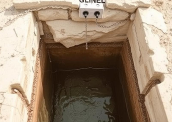
A five-year hydrogeochemical study of Messenia, Greece, shows that groundwater quality improved significantly during the COVID-19 Anthropopause and deteriorated again ...
A scoping review of 35 studies finds that African climate adaptation succeeds most often when technology is embedded in hybrid ...
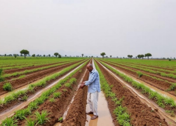
A large-scale econometric study of over 33,000 households finds that only 9.4 percent of farmers in southern Ethiopia irrigate, with ...
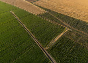
New research from Colorado State University shows that U.S. agricultural irrigation prevents significantly more greenhouse gas emissions than it produces ...
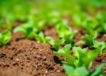
A benchmark of seventeen commercial soil moisture sensors across three soil types finds that mid-range FDR probes deliver the best ...
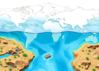
IIASA researchers and partners have developed a river-basin-scale framework that operationalizes the Global Water Planetary Boundary to guide local water ...
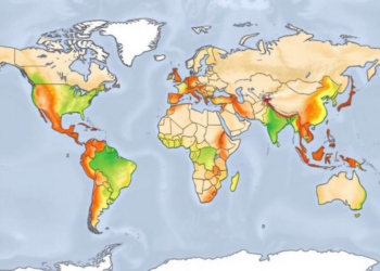
A Utrecht University study using a one kilometer resolution global groundwater model classifies the world's aquifers by their ability to ...
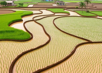
A three-season field study in Vietnam shows that alternate wetting and drying irrigation cuts methane production potential by roughly 62 ...


Embark on a thrilling journey of discovery with Scienmag.com—your ultimate source for cutting-edge breakthroughs. Immerse yourself in a world where curiosity knows no limits and tomorrow’s possibilities become today’s reality!