


Five years of roundtable dialogue chart a responsible path for Urban AI
A review article synthesizes five years of Urban AI in Planning roundtable discussions, identifying human-AI complementarity, geographic equity and collaborative ...
A review article synthesizes five years of Urban AI in Planning roundtable discussions, identifying human-AI complementarity, geographic equity and collaborative ...

A study combining HEC-RAS flood modelling, ArcGIS spatial analysis and CRITIC and VIKOR statistics builds a Flood Resilience Index that ...

A survey of 150 households in an eastern Indian mining city found that good WASH and drainage conditions and cleaner ...

A systematic historical analysis traces how procedural modelling evolved from a niche computer-graphics technique into infrastructure for urban knowing and ...

A new comparative study traces how US urban planning doctoral programs developed since the 1940s and what China's younger, smaller ...

A hybrid optimization framework combining genetic algorithms and GIS location-allocation reduced maximum walking distances to neighborhood services by up to ...

A design simulation for Como, Italy, presents Swarm Flood Proofing, a strategy combining many small temporary and permanent flood-proofing measures ...

Researchers have developed a 117-practice readiness index, validated by an expert panel and a case study, to assess cybersecurity preparedness ...

A qualitative study of ten Chilean public officials identifies institutional inertia, neglected psychosocial factors and conflicts between safety mandates and ...
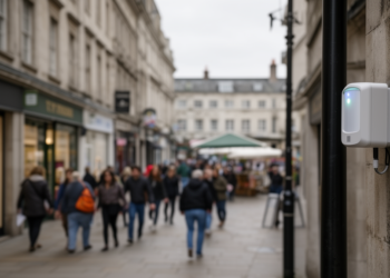
A location-aware calibration framework raised WiFi pedestrian sensor accuracy in Loughborough town centre from about 50% to 85.8% against manual ...


Embark on a thrilling journey of discovery with Scienmag.com—your ultimate source for cutting-edge breakthroughs. Immerse yourself in a world where curiosity knows no limits and tomorrow’s possibilities become today’s reality!