

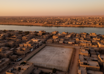
GIS and AHP Reveal Deep Sports Facility Inequality in Ramadi, Iraq
A GIS-based multi-criteria study of Ramadi District found that over 95% of its 46 sports complexes sit in urban areas, ...
A GIS-based multi-criteria study of Ramadi District found that over 95% of its 46 sports complexes sit in urban areas, ...

A multi-level study of 820 Tehran households finds that building orientation, average floor count, and height variability significantly predict residential ...

A transnational roundtable of European and Chinese scholars rethinks gentrification as a context-dependent, multi-dimensional process rather than a universal label ...

A hybrid decision framework combining DEMATEL, SWARA, entropy weighting, and TOPSIS has ranked 27 roadside plant taxa for pollution mitigation ...

A study of Beijing mobile phone data shows that social mixing varies sharply by transport mode, with rail producing the ...

A modeling study of Amsterdam finds that a 0.82-meter sea-level rise scenario for 2100 could inundate up to 35.64 percent ...

Researchers tested a three-phase participatory framework in Chios and Vilnius that turns citizen-created climate resilience scenarios into weighted, planning-ready priorities.

A WHO Innovation Forum meeting report outlines how digital twins could support pandemic preparedness while flagging data, governance and infrastructure ...
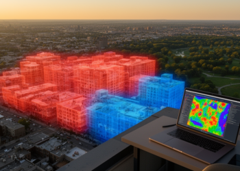
A season-long citizen-science campaign in North Carolina used machine learning and mobile transects to reveal WBGT swings of up to ...

A review article synthesizes five years of Urban AI in Planning roundtable discussions, identifying human-AI complementarity, geographic equity and collaborative ...


Embark on a thrilling journey of discovery with Scienmag.com—your ultimate source for cutting-edge breakthroughs. Immerse yourself in a world where curiosity knows no limits and tomorrow’s possibilities become today’s reality!