

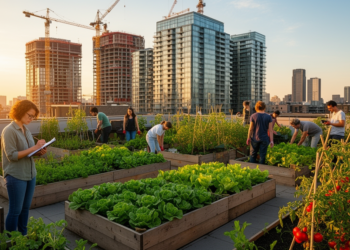
Urban Farms and Gentrification: New Protocol Maps the Evidence
A new systematic map protocol sets out a rigorous method for cataloguing the full range of academic evidence on how ...
A new systematic map protocol sets out a rigorous method for cataloguing the full range of academic evidence on how ...

A maximum entropy inverse reinforcement learning model trained on two weeks of anonymous Wi-Fi probe data at Southeast University's Wuxi ...
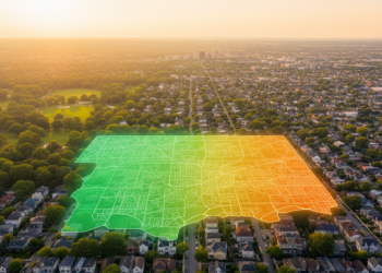
Researchers built a retrieval-augmented AI framework that analyzed 192 US climate equity and action plans and matched cities with similar ...

Researchers built a carbon flow model and accounting module for industrial parks that matched measured emissions at Shanghai's Caohejing Development ...

Simulations of Quito's hypercenter show that vertical densification has mixed thermal effects on pedestrians, while climate-sensitive design with vegetation and ...

A survey of 333 older adults in Udupi District, India, validates a structural model linking perceived safety, security, comfort, convenience, ...
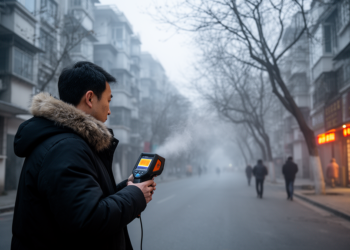
A winter field study in Hangzhou found a neutral outdoor thermal comfort index of 19.2 degrees Celsius for residential neighborhoods, ...

A new review finds that cities investing most heavily in green infrastructure achieve the best combined outcomes for water supply ...

A study of four multimodal AI models across 56 cities finds they can predict perceived street safety from images but ...

A new tool called RiskGrid converts simulated vehicle trajectories into continuous road safety risk maps, detecting 12 of 13 crash ...


Embark on a thrilling journey of discovery with Scienmag.com—your ultimate source for cutting-edge breakthroughs. Immerse yourself in a world where curiosity knows no limits and tomorrow’s possibilities become today’s reality!