


AI Maps Exactly How Far Urban Lakes Cool City Streets
A machine learning study of 25 lakes in Da Nang, Vietnam, quantifies urban lake cooling with SHAP interpretability, finding the ...
A machine learning study of 25 lakes in Da Nang, Vietnam, quantifies urban lake cooling with SHAP interpretability, finding the ...
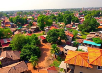
A decade of satellite imagery and surveys shows Greater Kumasi lost nearly a third of its natural areas while most ...

A systematic review of 139 studies reclassifies urban green infrastructure into ten functional types, offering high-density cities a mechanism-based playbook ...

A systematic review of 58 studies finds that environmental noise—dominated by transportation sources—is tied to economic losses, psychological distress, sleep ...

Researchers in Japan used a Weibull survival model and four-dimensional GIS data to forecast building-level demolition probabilities and construction material ...

Microsimulation of Brazil's HIDS-UNICAMP innovation district shows through traffic, not the district itself, could overwhelm its planned roads, and that ...

NYU Tandon researchers have built a locally hosted GeoAI framework that combines LSTM traffic forecasting, hexagonal spatial mapping and a ...

A comparative study of green regeneration in Malmö and Rotterdam shows that binding equity indicators and integrated social-housing governance, not ...
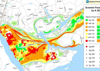
A new study integrates HEC-RAS hydraulic simulation, GIS mapping and expert-based AHP weighting to identify flood-vulnerable critical urban centers in ...
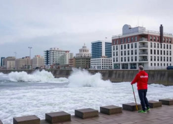
A tsunami resilience decision-support platform tested by 72 Chilean municipal officials scored above usability benchmarks and generated 45 concrete planning ...


Embark on a thrilling journey of discovery with Scienmag.com—your ultimate source for cutting-edge breakthroughs. Immerse yourself in a world where curiosity knows no limits and tomorrow’s possibilities become today’s reality!