

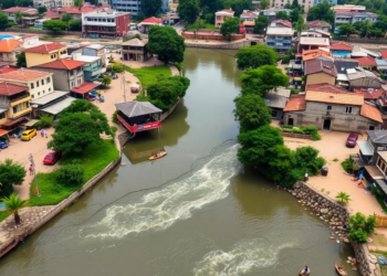
Participatory mapping reveals social values across Loja’s urban rivers
A 2021 participatory study of 200 residents in Loja, Ecuador, mapped positive and negative social values along the Zamora and ...
A 2021 participatory study of 200 residents in Loja, Ecuador, mapped positive and negative social values along the Zamora and ...

A Bayesian-network study combining field observations and lidar mapping estimated the 2014 regulating-service asset value of 406,000 tree canopies in ...
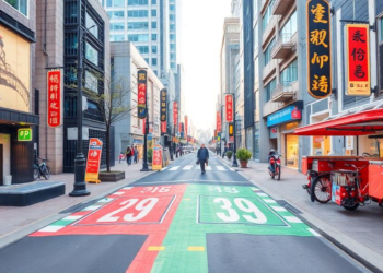
A network analysis of 1,396 Shanghai communities finds that road connectivity predicts daily-service access more strongly than development intensity and ...

A study of 533 Italian schoolchildren combining satellite imagery with psychometric scales found that children in highly natural residential areas ...
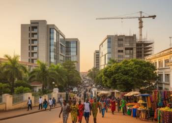
A new study of communities surrounding Ghana's KNUST documents how university-driven urbanization has transformed land use and intensified noise, waste, ...

Researchers in Bengaluru have built an interactive framework that lets residents define their own walkability scores, finding that personal preferences ...

A dual-perspective study combining satellite imagery, POI data, and surveys maps Kunming's nighttime economy, revealing a polycentric spatial pattern and ...

A Shenzhen study combining Landsat data with AI analysis of 11,109 online reviews reveals non-linear links between wetland park cooling ...
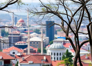
A new study maps Istanbul's integrated ecosystem services potential across four land-use scenarios, showing how planning decisions could safeguard or ...
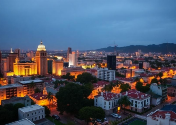
A new study of Tepic, Mexico finds that as the city's urban heat island expanded by over 60 percent, El ...


Embark on a thrilling journey of discovery with Scienmag.com—your ultimate source for cutting-edge breakthroughs. Immerse yourself in a world where curiosity knows no limits and tomorrow’s possibilities become today’s reality!